Day 1
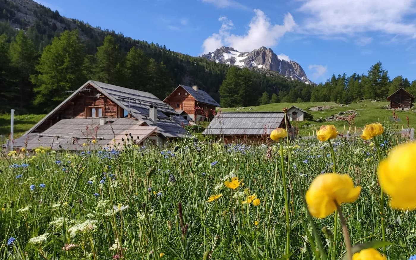
From Refuge Buffère
+500 m · 2076 m → 2571 m
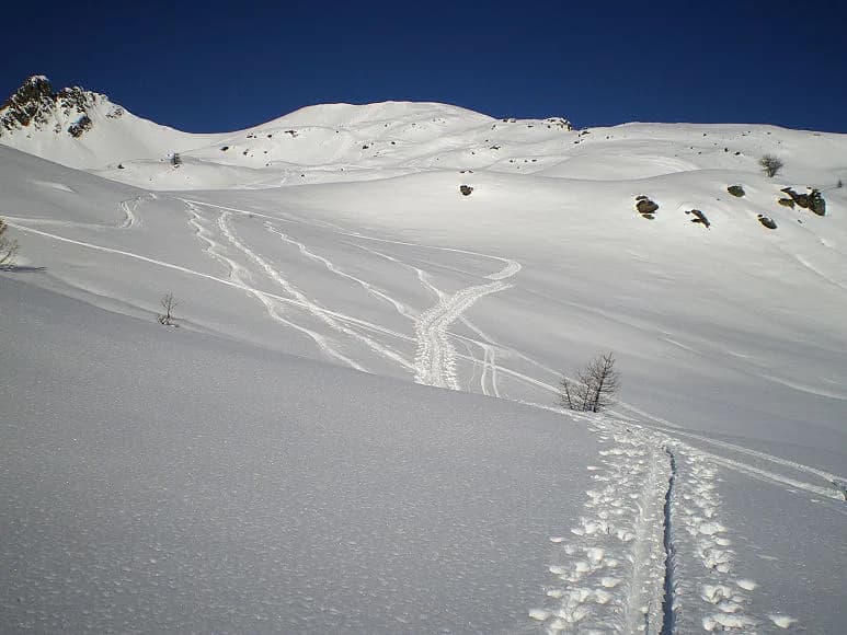
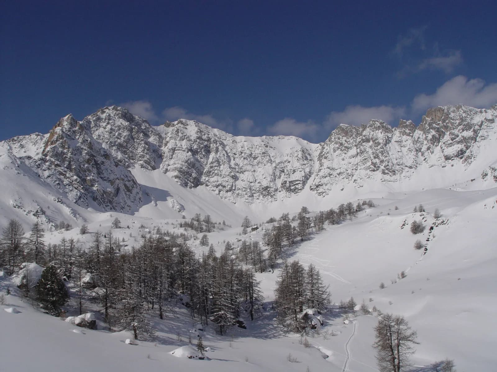
From Refuge Buffère, climb up the south-facing slope (10-15 minutes), cross Ruisseau du Casset and bear right heading south-west, as far as the larch-lined combe on the right bank to join Vallon de Privé. Continue N/W along a number of gently sloping tracks and combes to a first climb at 2,500 m, then on to Crête de Baude at 2,571 m. Make your way down along the same track or via the northern combes and Casse Pinière to the Clarée, which you follow to get to the other refuges or to Névache (Ville Haute).
Important to note: When the wind is strong, it's not a good idea to head down the combe from top to bottom, but instead stay on the right bank of Combe "Casse Pinière".
Refuge BuffèreBookable online