Skip to content
Compagnie des Refuges Clarée Thabor
Mont Thabor via Les Trois Cols (3,178 m) — photo 1
  • Mont Thabor via Les Trois Cols (3,178 m) — photo 2
1 dayWinter

Mont Thabor via Les Trois Cols (3,178 m)

From Refuge du Mont Thabor

This section is a little longer than the usual route, but allows you to complete a loop.

Duration
1 day
Distance
14 km
Level
Difficult
Season
in winter
Highest point
3,190 m
Thabor MaurienneStart and finish in Thabor refugeGetting to Thabor refuge

Route map and profile

Tap a stage to see it on the map and profile.

Whole tour: 14 km

Elevation profileDistance 13.8 kmAscent 1021 m
2300280033000 km13.8 km
Altitude 2353–3190 m

Track from camptocamp.org (CC BY-SA) 52909

Refuges along the way

  • Refuge du Thabor

The route, day by day

1 day of walking

  1. D1
    Day 1

    From Refuge du Mont Thabor

    14 km

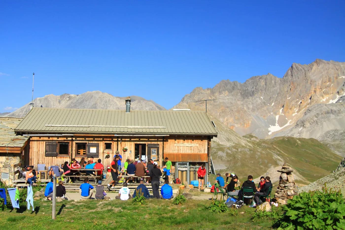
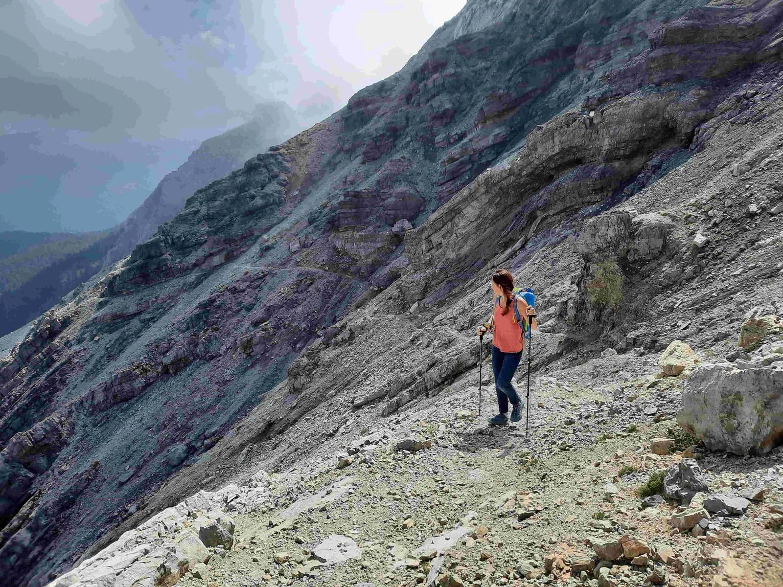
    From the refuge (2,502 m), climb Col du Cheval Blanc (2,791 m) then cross over to Passage du Pic du Thabor (2,952 m, +450 m). Head down to Lac Source (2,726 m, -220 m) and then climb Col de la Chapelle (2,943 m) to reach Mont Thabor (3,178 m, +450 m). The route back to the refuge is via Col des Méandes, Lac du Peyron and then Col de la Vallée Etroite (-830 m/+150 m).

    Refuge du ThaborWith the refuge
    See the refuge page

Other routes in the same category

See the whole category