Photo 1 of 3
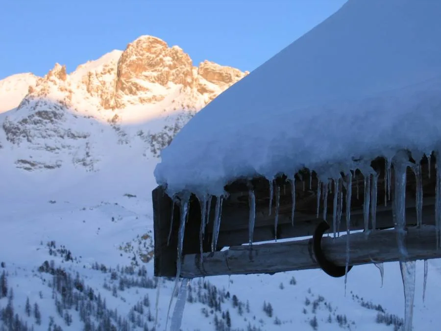
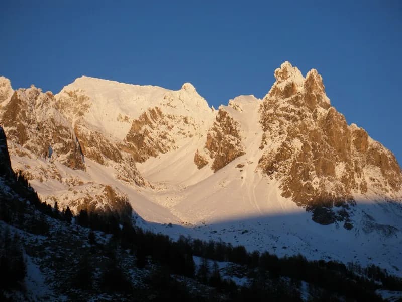
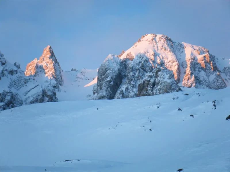
Pointe des Cerces (3,097 m) from Refuge des Drayères
From Refuge des Drayères
A great route with a fantastic panoramic view.
- Duration
- 1 day
- Distance
- 11 km
- Elevation gain
- +950 m
- Season
- in winter
- Highest point
- 3,097 m
Description
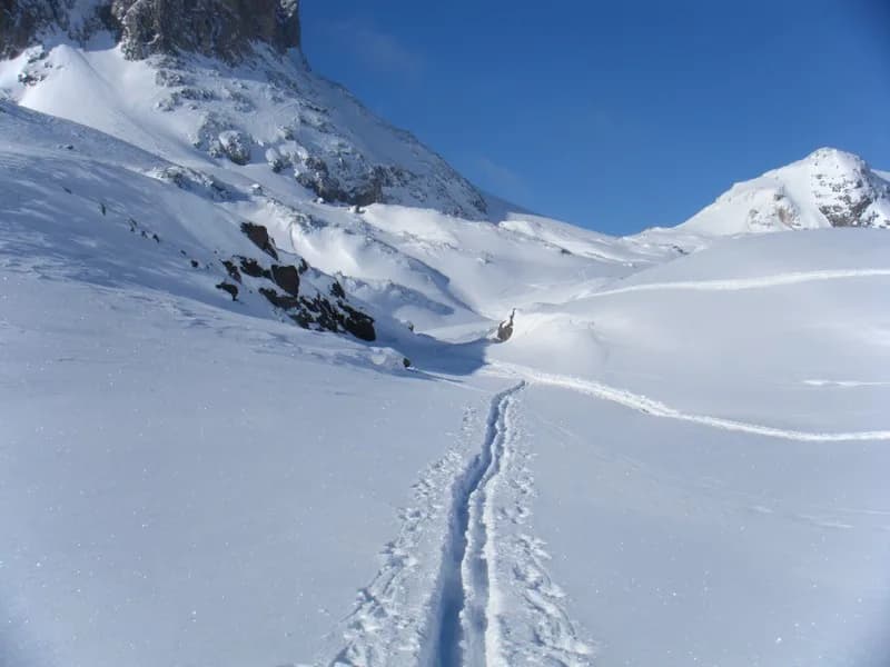
Leaving behind the refuge, follow the Clarée (left bank) (N-W then W) to reach Seuil des Rochilles (2,459 m). Skirt around Lac Rond des Rochilles (still heading W) and pass between the two lakes to Col des Cerces (S) (2,574 m) and then cross over. Follow the path towards Lac des Cerces, keeping as high as possible on the left, then climb the small couloir marked "2,676 m". Return to the cirque toward Crête De Rochers Marions (East) and finally climb Névé des Cerces to the summit (South then S/S-E). Descend by the same route or by the slope (S/S-E) a little steep at the start and often winding towards Lac des Béraudes (2,504 m) then the car park at Laval (2,030 m) to climb the snow-covered road along the left bank up to Refuge des Drayères. Depending on the snow conditions, it may be possible to climb along the S/S-E slope and then descend the N/N-W slope.
Route map and profile
Whole tour: 11 km · +950 m
Track from camptocamp.org (CC BY-SA 3.0 (new tab)) 46614 (new tab)