Skip to content
Compagnie des Refuges Clarée Thabor
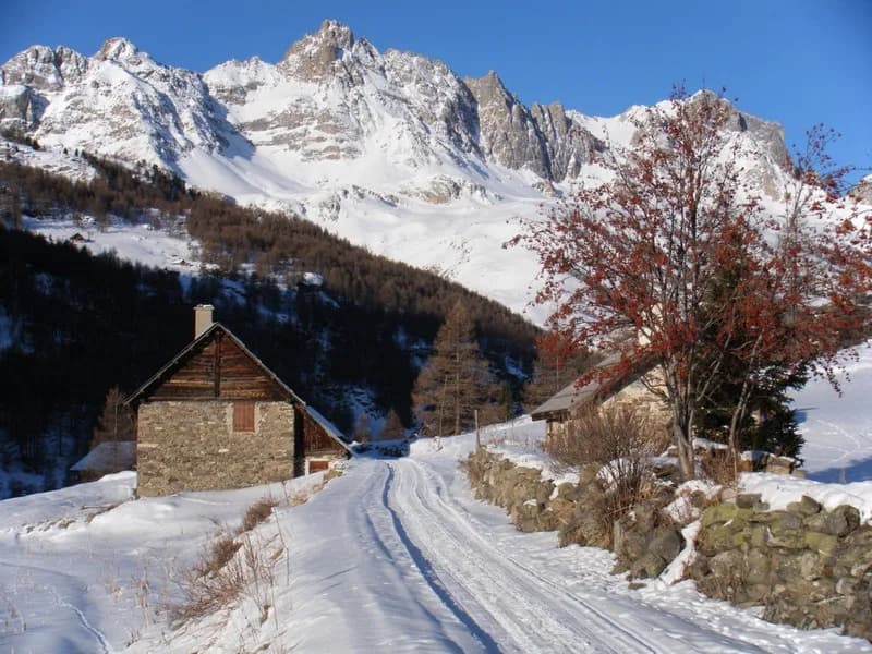
Valfréjus to Refuge du Mont Thabor via L’Argentier (3,046 m) — photo 1
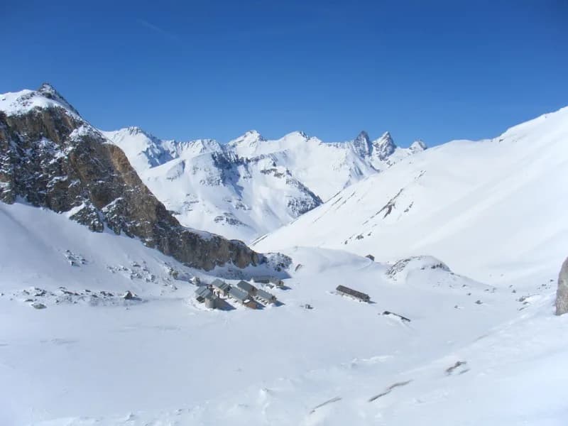
  • Valfréjus to Refuge du Mont Thabor via L’Argentier (3,046 m) — photo 2
1 day · 1 nightWinter

Valfréjus to Refuge du Mont Thabor via L’Argentier (3,046 m)

How to reach Refuge du Mont Thabor

Getting to Refuge du Mont Thabor along a route with a 1,200 metre drop

Duration
1 day · 1 night
Elevation gain
+1,030 m
Level
Difficult
Season
in winter
Highest point
3,046 m
Thabor MaurienneStart : ValfréjusGetting to Valfréjus

Route map and profile

No track available

No GPS track is available for this route.

Refuges along the way

  • Refuge du Thabor

The route, day by day

1 day of walking

Every evening, a refuge: its page gives its places, its rates and how to book it.

  1. D1
    Day 1

    The ascent to Refuge du Mont Thabor

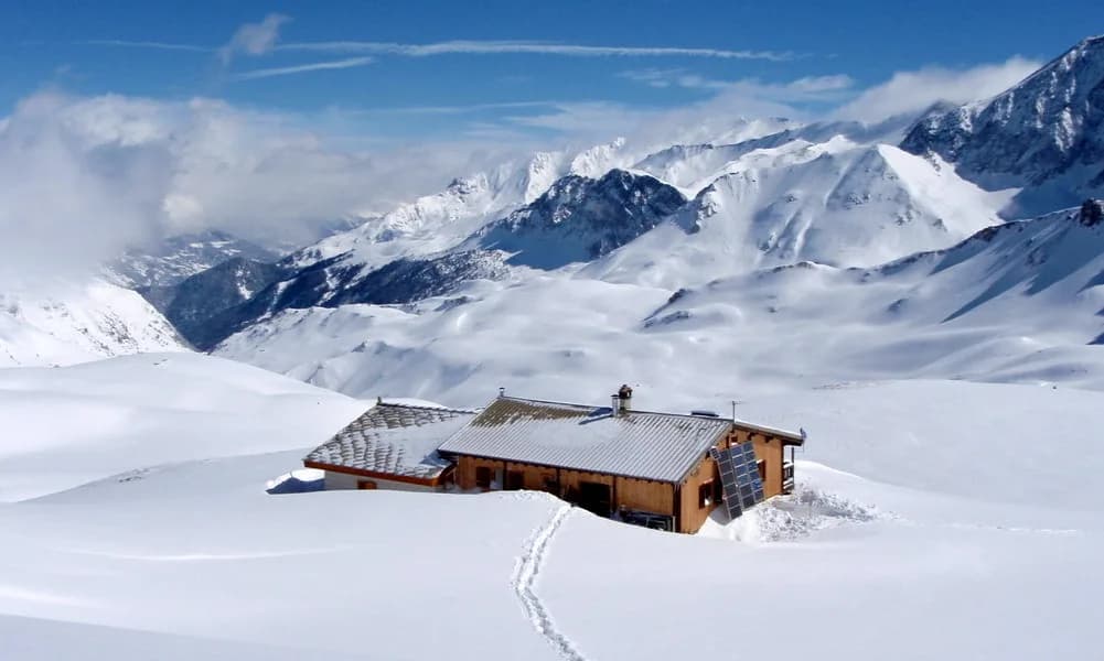
    Take the Valfréjus ski lifts to the Punta Bagna summit (2,731 m). Head S towards Col de Fréjus (-200 m) to climb the short but steep Argentier slope (3,046 m, +530 m, good snow conditions required). Make your descent to Col de la Roue, then down its northern combe to the chalets of Fontaine Froide (2,060 m, -1,000 m). From here, cross the ridge to the west of the chalets to return to the classic route to climb up to the refuge (+500 m).

    Night 1 · tonight's refuge

    Refuge du ThaborWith the refuge
    See the refuge page

Other routes in the same category

See the whole category