Skip to content
Compagnie des Refuges Clarée Thabor
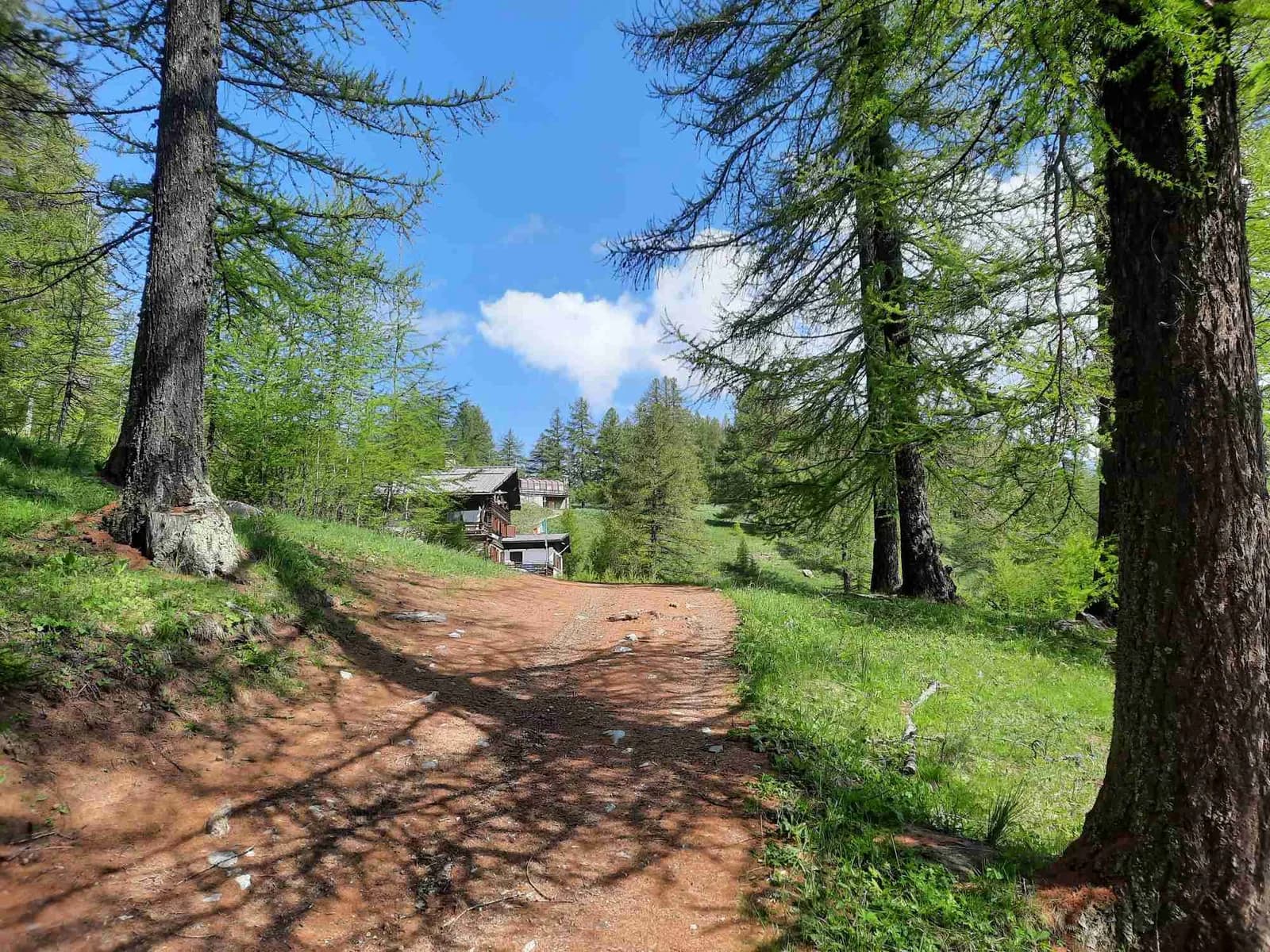
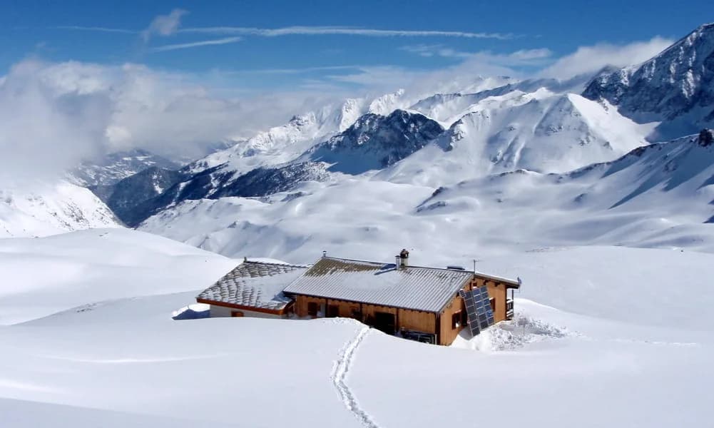
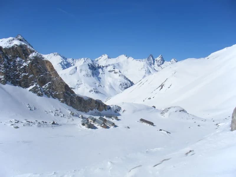
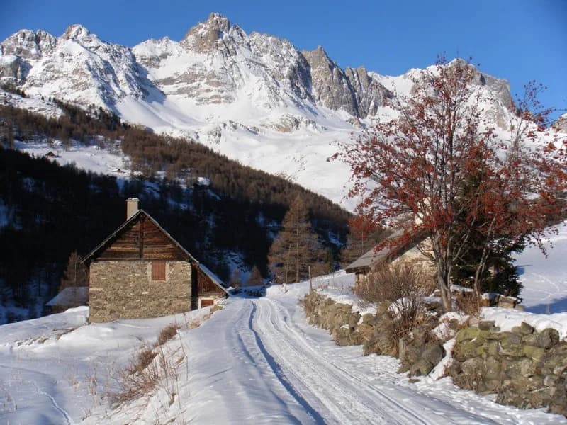
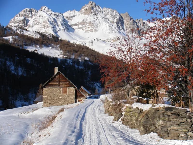
From Névache to Refuge des Drayères along the snow-covered road. — photo 1
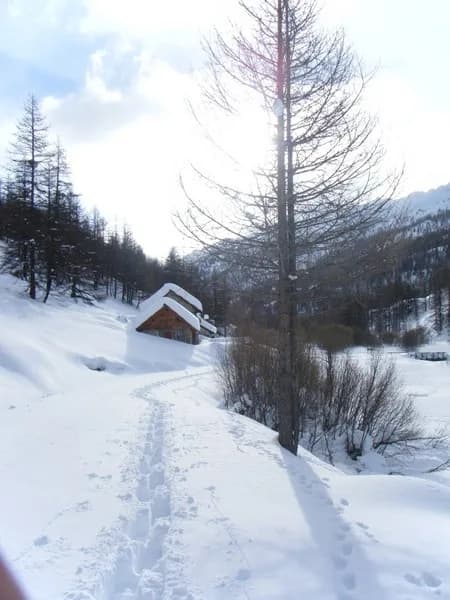
  • From Névache to Refuge des Drayères along the snow-covered road. — photo 2
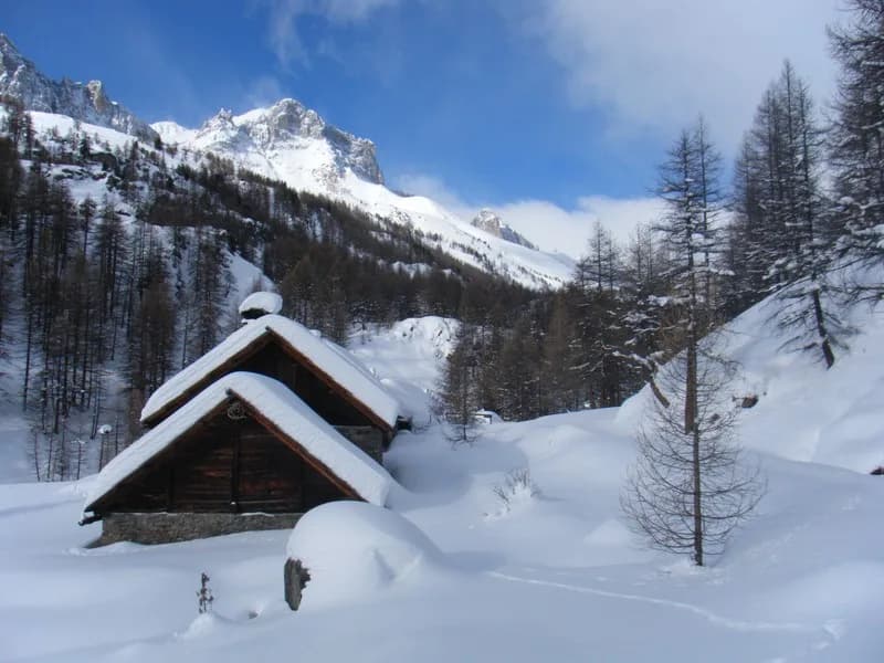
  • From Névache to Refuge des Drayères along the snow-covered road. — photo 3
  • From Névache to Refuge des Drayères along the snow-covered road. — photo 4
  • From Névache to Refuge des Drayères along the snow-covered road. — photo 5
  • From Névache to Refuge des Drayères along the snow-covered road. — photo 6
1 day · 1 nightWinter

From Névache to Refuge des Drayères along the snow-covered road.

Getting to Refuge des Drayères

A complete tour of the Haute Vallée de la Clarée.

Duration
1 day · 1 night
Elevation gain
+600 m
Level
Moderate
Season
in winter
Highest point
2,180 m
ClaréeStart : Névache (Ville Haute)Getting to Névache (Ville Haute)

Route map and profile

No track available

No GPS track is available for this route.

Refuges along the way

  • Refuge des Drayères
  • Refuge Laval

The route, day by day

1 day of walking

Every evening, a refuge: its page gives its places, its rates and how to book it.

  1. D1
    Day 1

    The ascent to Refuge des Drayères.

    Follow the "snow-covered" summer road from the Névache Ville-Haute car park to the Laval car park (2,030 m) "often packed down for cross-country skiing" (access to Refuge Laval possible). Take either the snowmobile track, where it is visible, or follow the markers that correspond to the summer dirt road to reach Refuge des Drayères (2,180 m).

    Night 1 · tonight's refuge

    Refuge des DrayèresWith the refuge

    See the refuge page

Other routes in the same category

See the whole category