Skip to content
Compagnie des Refuges Clarée Thabor
Fontcouverte to Refuge Ricou — photo 1
  • Fontcouverte to Refuge Ricou — photo 2
  • Fontcouverte to Refuge Ricou — photo 3
  • Fontcouverte to Refuge Ricou — photo 4
  • Fontcouverte to Refuge Ricou — photo 5
1 day · 1 nightSummer

Fontcouverte to Refuge Ricou

How to reach Refuge Ricou

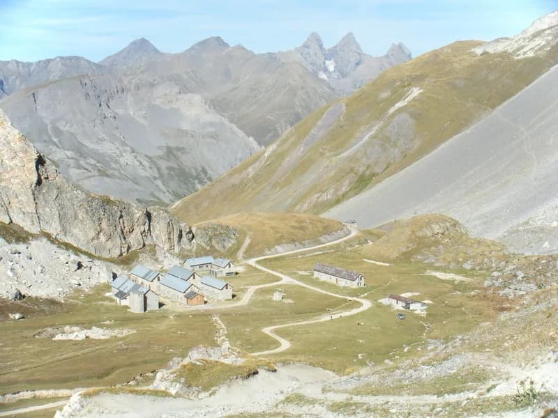
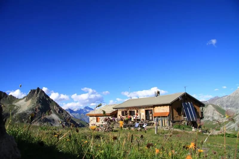
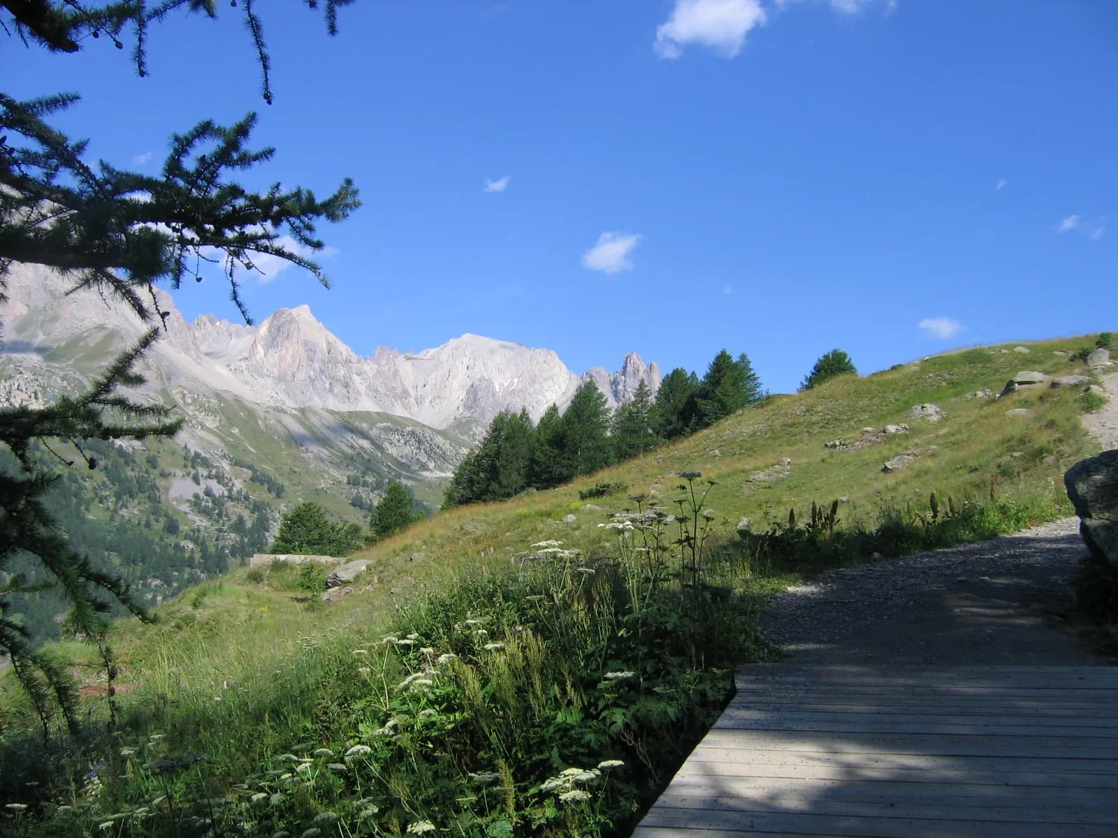
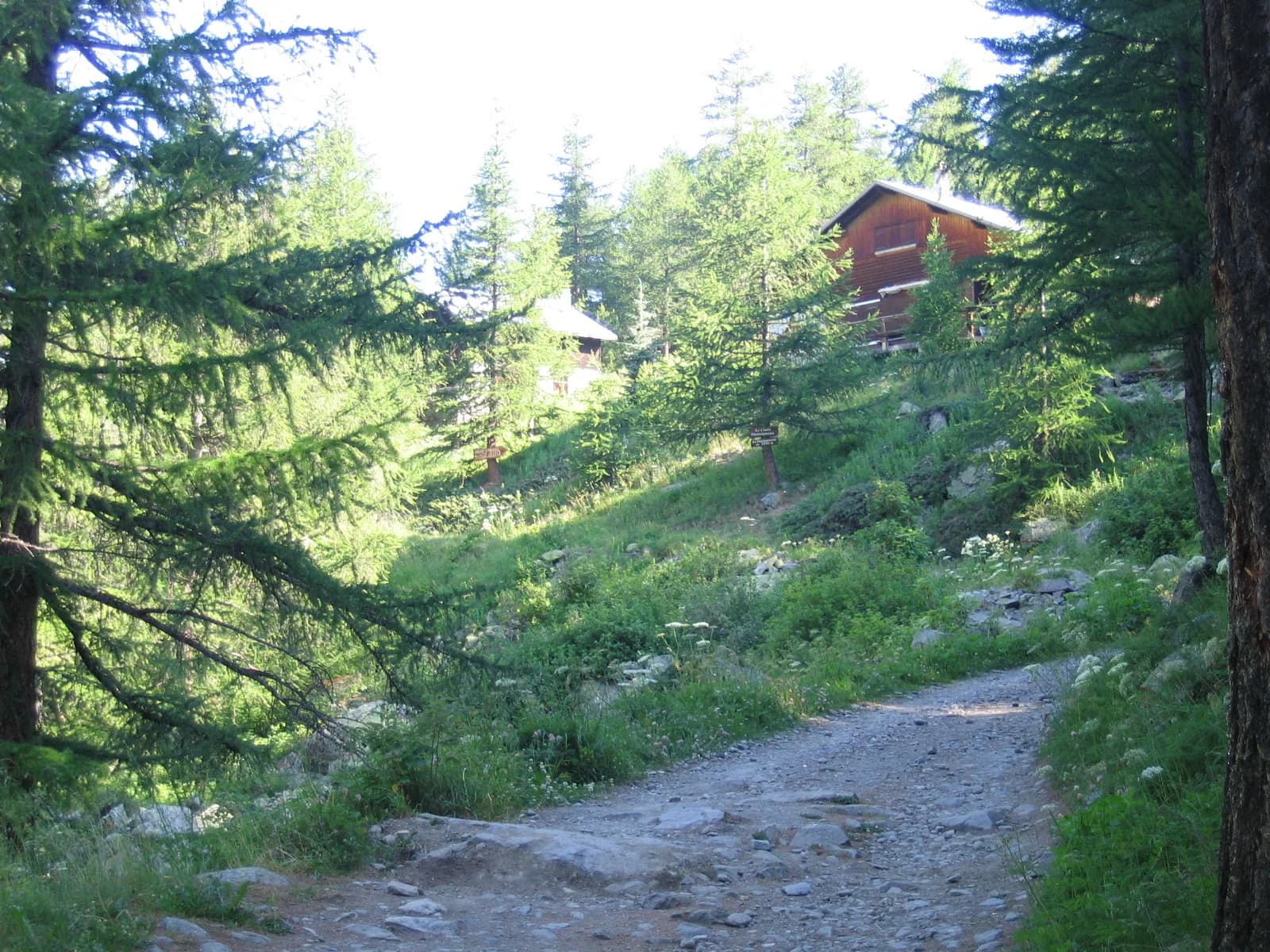
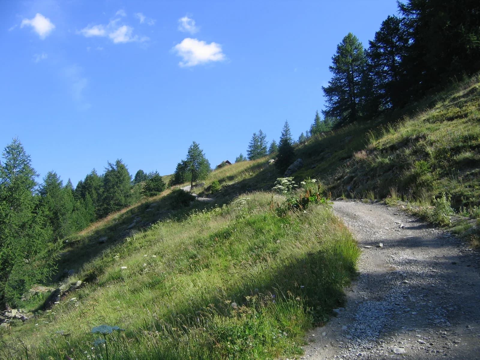
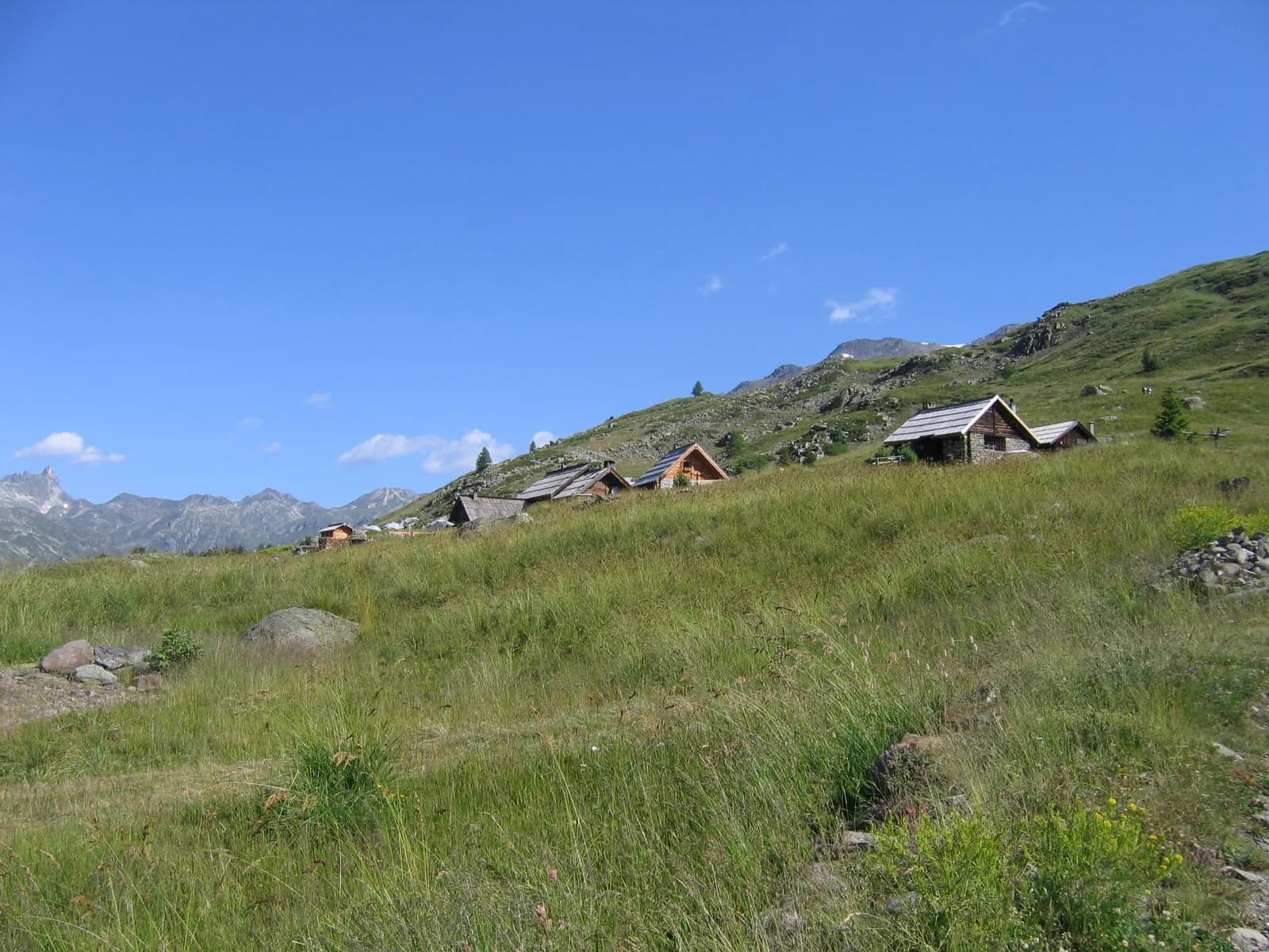
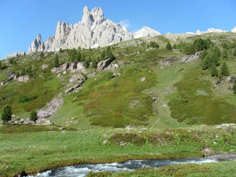
A little tour for all the family to enjoy, progressing through the larch trees on a wide track. Continue through the alpine pastures, where the path leads to the hamlet of Ricou, facing the Cerces Massif.

Duration
1 day · 1 night
Distance
2 km
Elevation gain
+140 m
Level
Easy
Season
in summer
Highest point
2,119 m
ClaréeStart and finish in Fontcouverte (Névache)Getting to Fontcouverte (Névache)

Route map and profile

Tap a stage to see it on the map and profile.

Whole tour: 2 km · +140 m · 1 night in a refuge

Elevation profileDistance 1.8 kmAscent 280 m
1800200022000 km1.8 km
Altitude 1864–2119 m

Refuges along the way

  • Refuge de Ricou

The route, day by day

1 day of walking

Every evening, a refuge: its page gives its places, its rates and how to book it.

  1. D1
    Day 1

    Ascent to Refuge Ricou

    2 km · +140 m · 1975 m → 2115 m

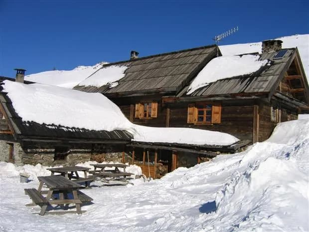
    From the hamlet of Foncouverte (6 km from Névache), park in the car park opposite the campsite. Turn back to take a path on the left after the bridge at Auberge de la Fruitière. Climb up the south-facing slope, then pass by the chalets of la Chalanchette along a nice, wide track. After 15 minutes you'll reach the hamlet of Ricou, where you'll find our terrace offering delicious refreshments.

    Night 1 · tonight's refuge

    Refuge de RicouBookable online
    See the refuge page

Other routes in the same category

See the whole category