Skip to content
Compagnie des Refuges Clarée Thabor
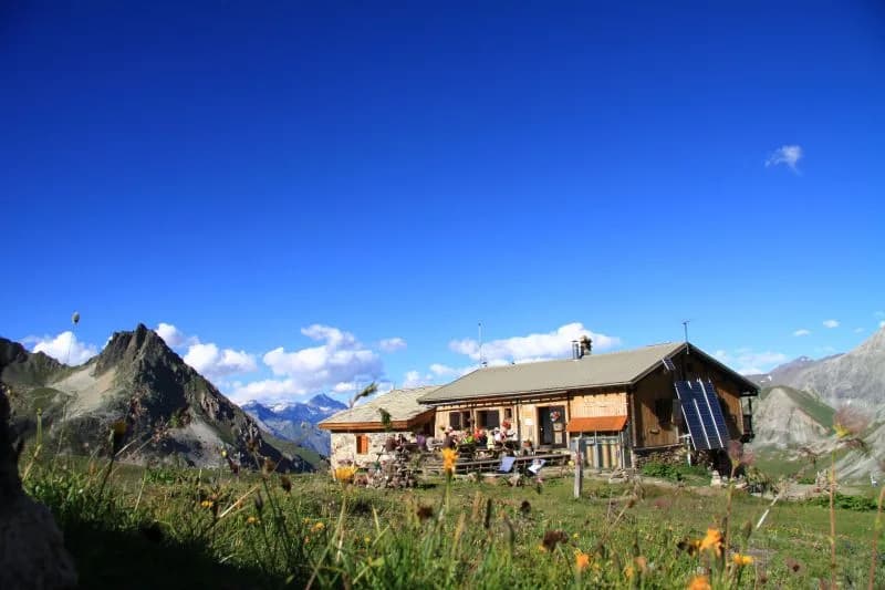
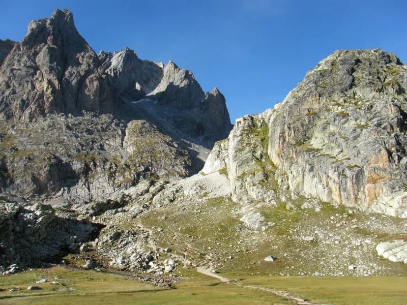
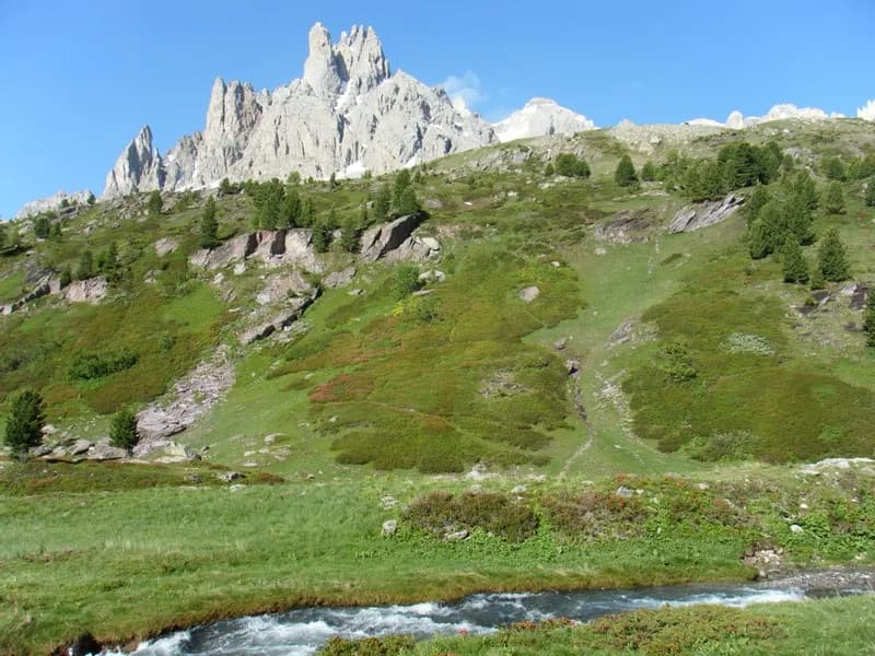
Plan Lachat to Refuge des Drayères via Col des Rochilles. — photo 1
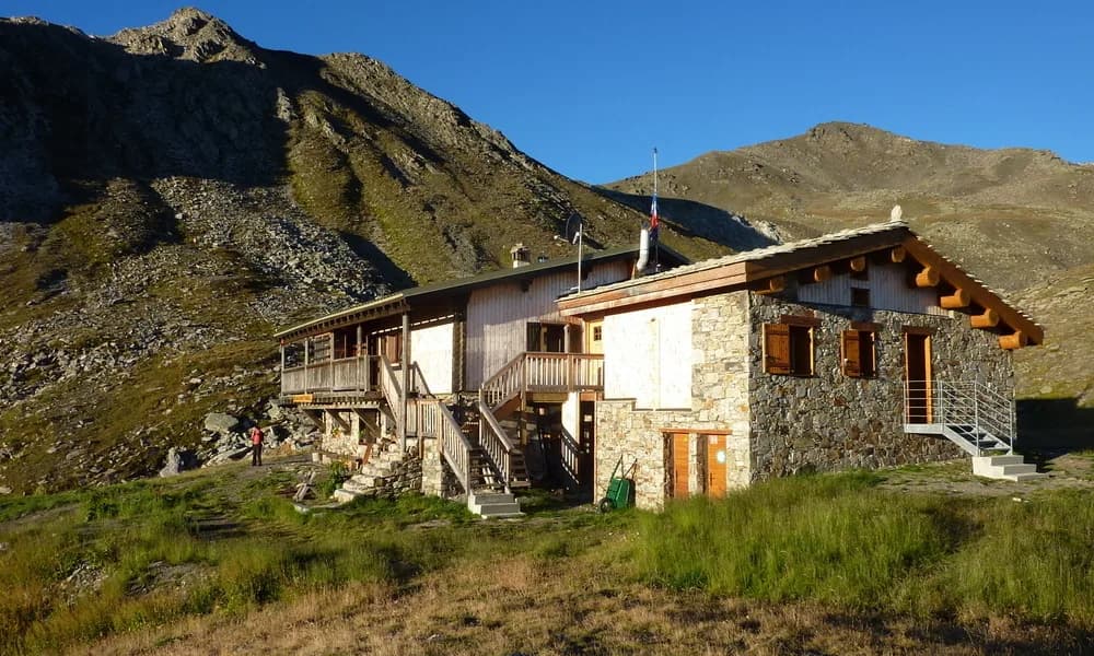
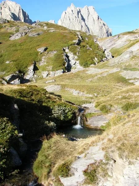
  • Plan Lachat to Refuge des Drayères via Col des Rochilles. — photo 2
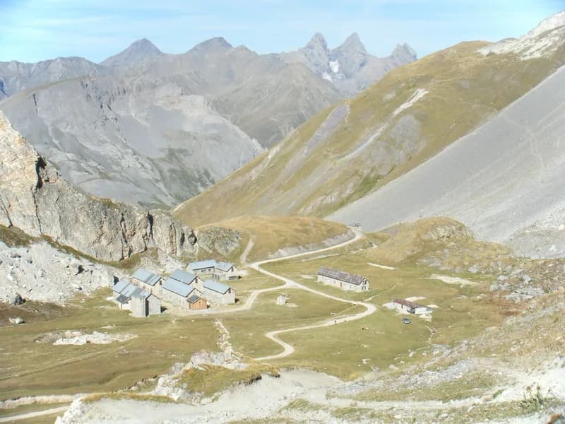
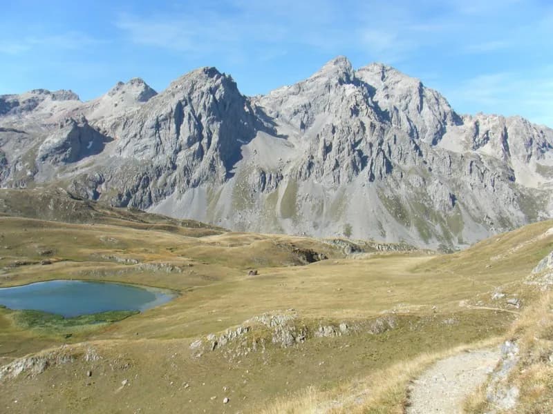
  • Plan Lachat to Refuge des Drayères via Col des Rochilles. — photo 3
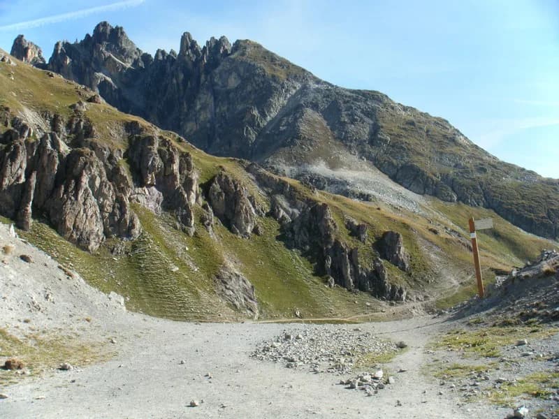
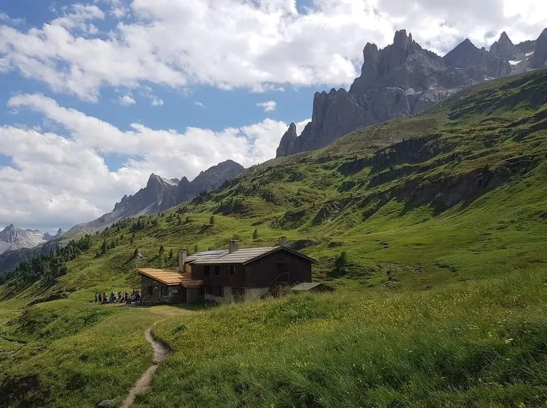
  • Plan Lachat to Refuge des Drayères via Col des Rochilles. — photo 4
  • Plan Lachat to Refuge des Drayères via Col des Rochilles. — photo 5
  • Plan Lachat to Refuge des Drayères via Col des Rochilles. — photo 6
1 day · 1 nightSummer

Plan Lachat to Refuge des Drayères via Col des Rochilles.

How to reach Refuge des Drayères

Passing by one of the Aiguilles d'Arves lookouts.

Duration
1 day · 1 night
Elevation gain
+540 m
Level
Easy
Season
in summer
Highest point
2,180 m
Cerces GuisaneStart : Plan LachatGetting to Plan Lachat

Route map and profile

No track available

No GPS track is available for this route.

Refuges along the way

  • Refuge des Drayères

The route, day by day

1 day of walking

Every evening, a refuge: its page gives its places, its rates and how to book it.

  1. D1
    Day 1

    Ascent to Refuge des Drayères

    3 h · +540 m · −320 m · 1962 m → 2180 m

    Take the Col des Rochilles trail from the Plan Lachat car park. From the Rochilles camp follow the dirt road to the pass (2,496 m) to enjoy breathtaking views of Aiguilles d'Arves. Descend and skirt Lac Long and Lac Rond on the left, then from Seuil des Rochilles (2,469 m) continue along the left bank of the Clarée to Refuge des Drayères (2,180 m). (Option: You can follow the Cerces stream on the right bank, at the foot of Grand Galibier, towards the lake and then Col des Cerces before reaching Col des Rochilles (1 hour more).

    Night 1 · tonight's refuge

    Refuge des DrayèresWith the refuge
    See the refuge page

Other routes in the same category

See the whole category