Skip to content
Compagnie des Refuges Clarée Thabor
From Névache to Refuge Buffère via Côte Rouge — photo 1
  • From Névache to Refuge Buffère via Côte Rouge — photo 2
1 day · 1 nightSummer

From Névache to Refuge Buffère via Côte Rouge

How to reach Refuge Buffère

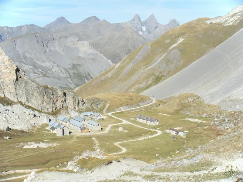
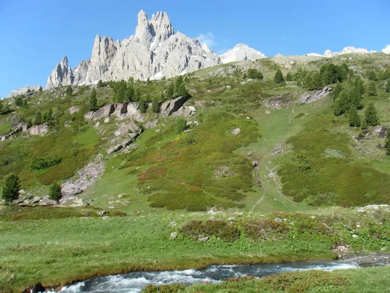
This is purely a summer route, with a lovely climb up Vallon de Cristol and then a scenic overlook to the Buffère chalets.

Duration
1 day · 1 night
Distance
5 km
Elevation gain
+540 m
Level
Moderate
Season
in summer
Highest point
2,225 m
ClaréeStart : Névache (Ville Haute)Getting to Névache (Ville Haute)

Route map and profile

Tap a stage to see it on the map and profile.

Whole tour: 5 km · 2 h 30 walking · +540 m · 1 night in a refuge

Elevation profileDistance 5 kmAscent 442 m
1800205023000 km5 km
Altitude 1815–2225 m

Refuges along the way

  • Refuge Buffère

The route, day by day

1 day of walking

Every evening, a refuge: its page gives its places, its rates and how to book it.

  1. D1
    Day 1

    The ascent to Refuge Buffère

    5 km · 2 h 30 · +540 m · 1600 m → 2076 m

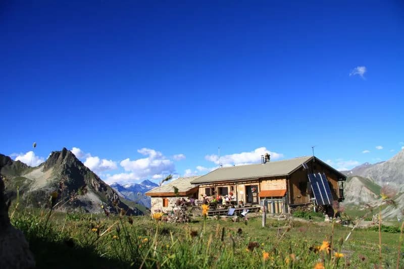
    From Névache (Ville Haute), cross the Clarée at Pont de l'Outre, walk 200 metres up the valley and veer left to reach Vallon de Cristol after a steep climb through the forest. When you reach the little valley, bear right onto the Côte Rouge path to enjoy the scenic overlook and continue along this route for about an hour. At the Buffère chalets cross over the small footbridge and you'll reach the refuge within 10 minutes. In early summer you'll pass rhododendrons in bloom, and as you reach the end of the season, you can enjoy blueberries!

    Night 1 · tonight's refuge

    Refuge BuffèreBookable online
    See the refuge page

Other routes in the same category

See the whole category