Skip to content
Compagnie des Refuges Clarée Thabor
Valfréjus to Refuge du Mont Thabor via the chalets of Mounioz — photo 1
  • Valfréjus to Refuge du Mont Thabor via the chalets of Mounioz — photo 2
1 day · 1 nightSummer

Valfréjus to Refuge du Mont Thabor via the chalets of Mounioz

How to reach Refuge du Mont Thabor

Alternative route to reach the refuge.

Duration
1 day · 1 night
Distance
5 km
Elevation gain
+600 m
Level
Easy
Season
in summer
Highest point
2,502 m
Thabor MaurienneStart : ValfréjusGetting to Valfréjus

Route map and profile

Tap a stage to see it on the map and profile.

Whole tour: 5 km · 2 h 30 walking · +600 m · 1 night in a refuge

Elevation profileDistance 5.2 kmAscent 599 m
1900225026000 km5.2 km
Altitude 1919–2495 m

Refuges along the way

  • Refuge du Thabor

The route, day by day

1 day of walking

Every evening, a refuge: its page gives its places, its rates and how to book it.

  1. D1
    Day 1

    Climb to Refuge du Mont Thabor

    5 km · 2 h 30 · +600 m · 1923 m → 2500 m

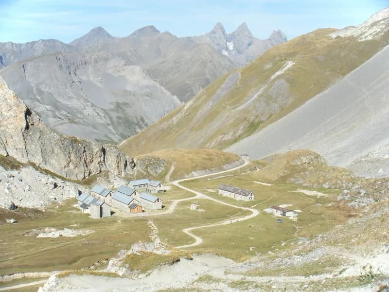
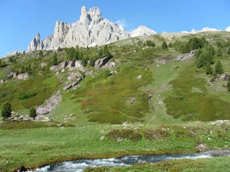
    From the top of the village of Valfréjus, there is a road leading to Le Lavoir (1,923 m). Turn right into the combe (heading south-west). Continue towards Col de la Vallée Etroite (2,434 m) following the left bank of the valley. Pass by the chalets of Mounioz to reach Refuge du Mont Thabor (2,502 m).

    Night 1 · tonight's refuge

    Refuge du ThaborWith the refuge
    See the refuge page

Other routes in the same category

See the whole category