[to be confirmed]1 day · 1 nightSummer
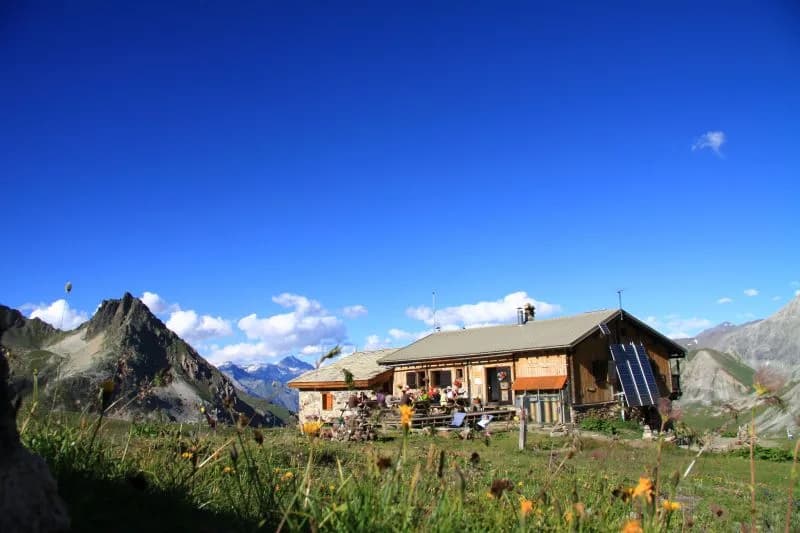
Overnight refuge to be confirmed.
Valmeinier to Refuge de Terre Rouge
Start from the Chenalette car park in Valmeinier D215A towards the resort (1800)
- Duration
- 1 day · 1 night
- Elevation gain
- +397 m
- Level
- Easy
- Season
- in summer
- Highest point
- 2,182 m
Thabor MaurienneStart : Valmeinier (parking de la Chenalette)Getting to Valmeinier (parking de la Chenalette)
Description
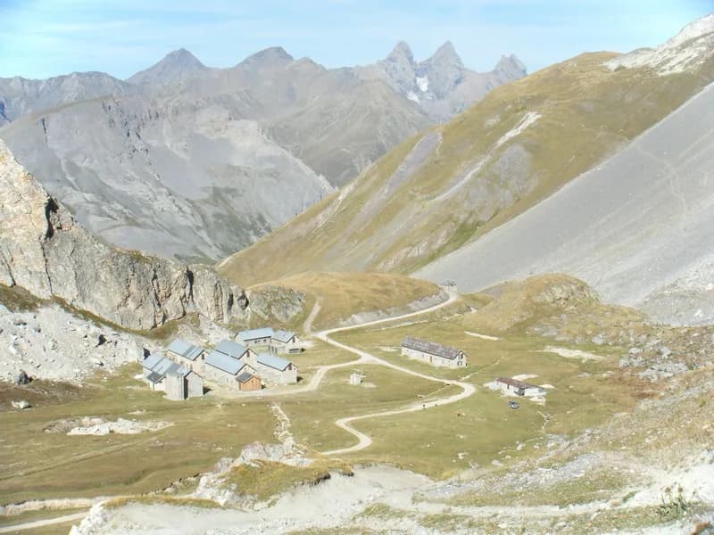
From the Chenalette car park, follow the track to L'Ordière. There are two options: Bear left and climb steeply to La Loza (the Bergerie), then follow the path down to the bottom of the valley. At Chapelle de Notre Dame des Neiges, you'll find the refuge! Or follow the Neuvache (along the right bank), which you cross after Croix de la Portète. You then follow the left bank to a new bridge, which you can cross. The path climbs up to the refuge, which you will only see at the last moment on your right.
Route map and profile
No track available · No GPS track is available for this route.