Skip to content
Compagnie des Refuges Clarée Thabor
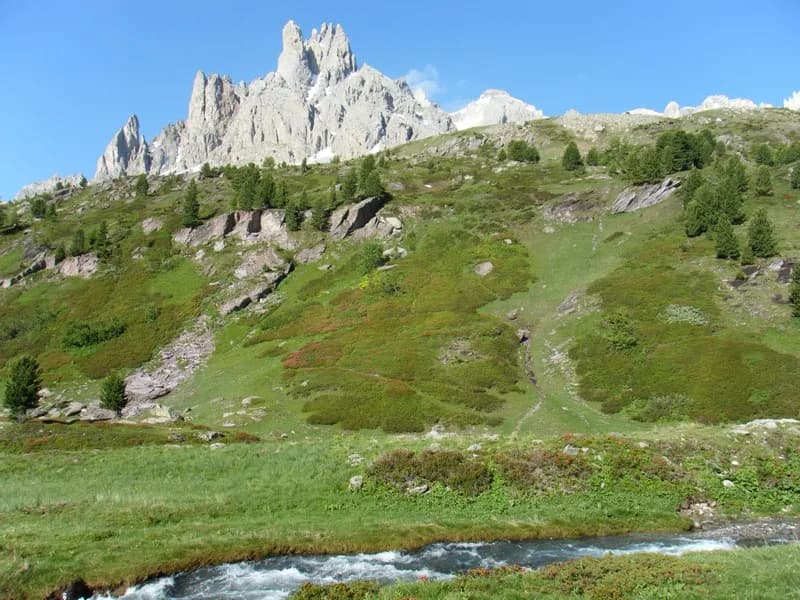
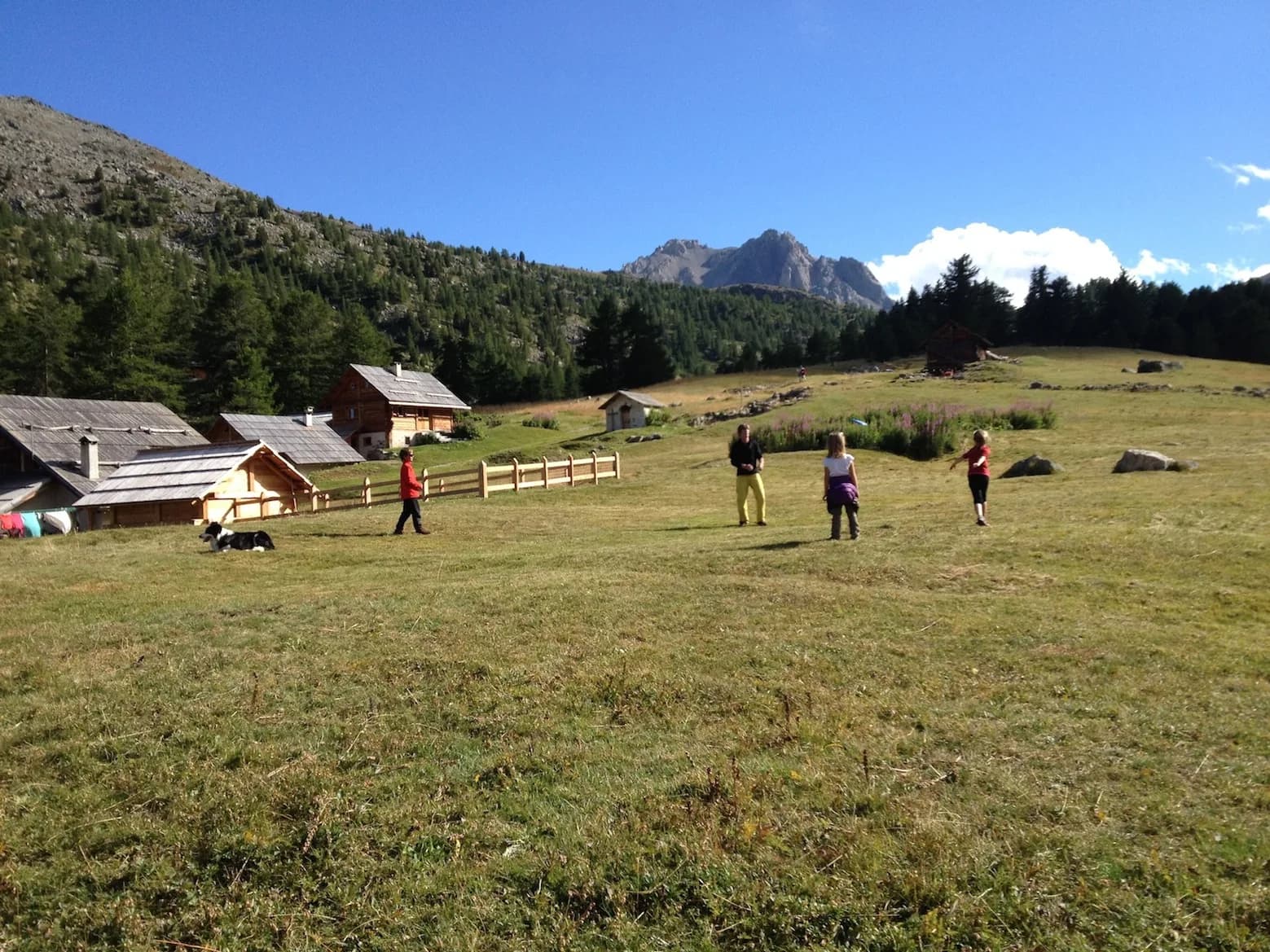
From Névache to Refuge Buffère along the GR57 — photo 1
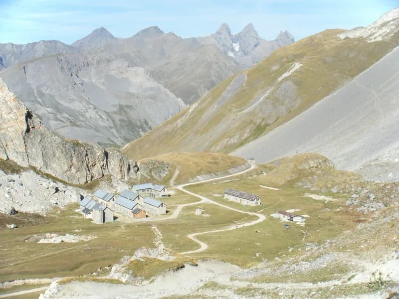
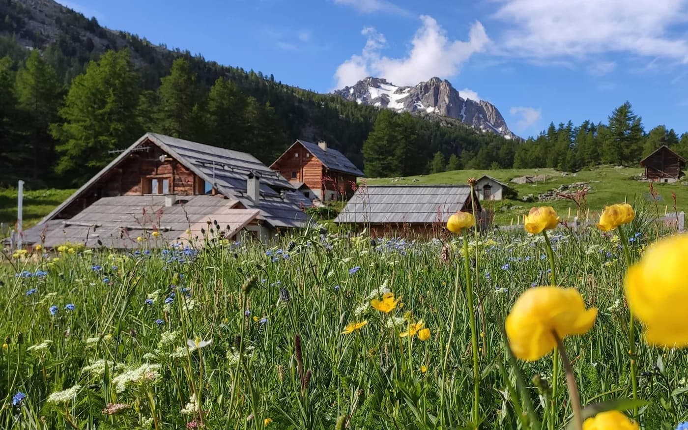
  • From Névache to Refuge Buffère along the GR57 — photo 2
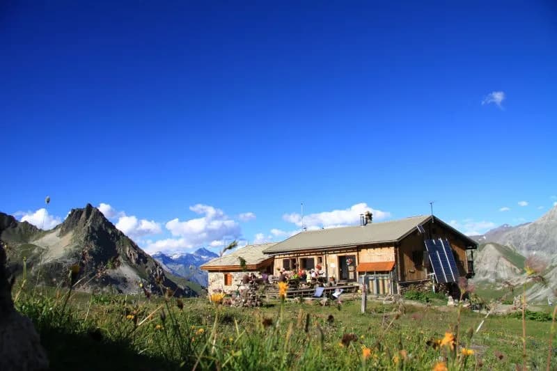
  • From Névache to Refuge Buffère along the GR57 — photo 3
Not yet bookable online1 day · 1 nightSummer

From Névache to Refuge Buffère along the GR57

How to reach Refuge Buffère

Follow the right bank of the Clarée until you reach Pont du Rately, then start your ascent to the chalets of Buffère.

Duration
1 day · 1 night
Distance
5 km
Elevation gain
+480 m
Level
Easy
Season
in summer
Highest point
2,076 m
ClaréeStart : NévacheGetting to Névache

Route map and profile

Tap a stage to see it on the map and profile.

Whole tour: 5 km · 1 h 30 walking · +480 m · 1 night in a refuge

Elevation profileDistance 4.7 kmAscent 568 m
1500185022000 km4.7 km
Altitude 1598–2066 m

Refuges along the way

  • Refuge Buffère

The route, day by day

1 day of walking

Nights in refuges bookable online can also be booked one at a time, from their page; the others, with the refuge.

  1. D1
    Day 1

    The route up to Refuge Buffère

    5 km · 1 h 30 · +480 m · 1600 m → 2076 m

    From Névache (Ville Haute), cross the Clarée on Pont de l'Outre, then walk up the valley passing by Cascade de Desbaret as far as Pont du Rately (parking is available). Follow the path and climb steeply through a beautiful larch tree woodland to reach the Chalets du Serre de Buffère in Vallon de Buffère. Continue for another 15 minutes to get to the chalets and Refuge Buffère.

    Night 1 · tonight's refuge

    Refuge BuffèreBookable online

    Bookable online, one night at a time, from its page. See its places

    See the refuge page

Other routes in the same category

See the whole category