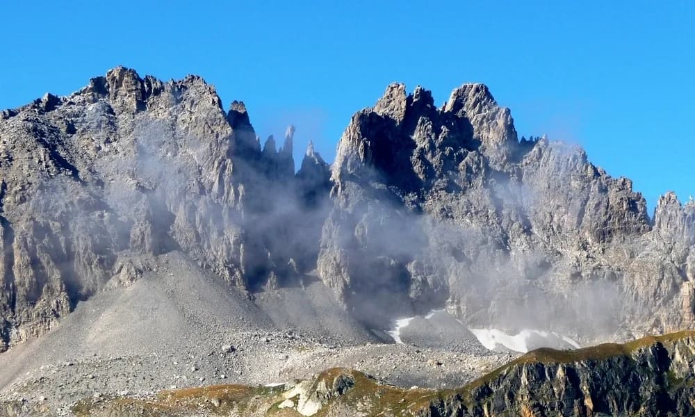
Depuis la gare de Saint Michel de Maurienne au refuge de Terre Rouge
par Les Combes et Valmeinier Village
- Duration
- 1 day
- Elevation gain
- +1,465 m
- Level
- Moderate
- Season
- en été
- Highest point
- 2,182 m
Description
Prendre à droite en sortant de la gare de saint Michel de Maurienne 711m. . Tourner à droite au feu, passer le pont et le tunel, puis à gauche rue Ste Marguerite vers le Belvédère. Au bout de cette rue, le chemin démarre en direction du hameau des Combes. Aux Combes, suivre la route, passer le hameau des Mélèzes et continuer jusqu'à Valmeinier Village (station 1500) 2h30, traverser le village, sur la place, passer derrière le mur d'escalade et rejoindre "l'ancienne route". Traverser le hameau de la Combaz puis continuer jusqu'au parking de la Chenalette 1785m. 1h30. Là, deux itinéraires balisés possibles: par la Loza et Notre Dame des Neiges (à gauche au lieu dit l'Ordières) ou par Mathoset (à droite au lieu dit l'Ordières) en longeant la Neuvache par la rive droite. 2h
Route map and profile
No track available · No GPS track is available for this route.