
Skip to content
Compagnie des Refuges Clarée Thabor
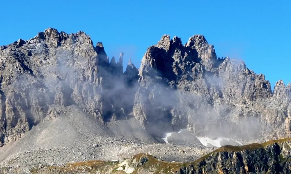
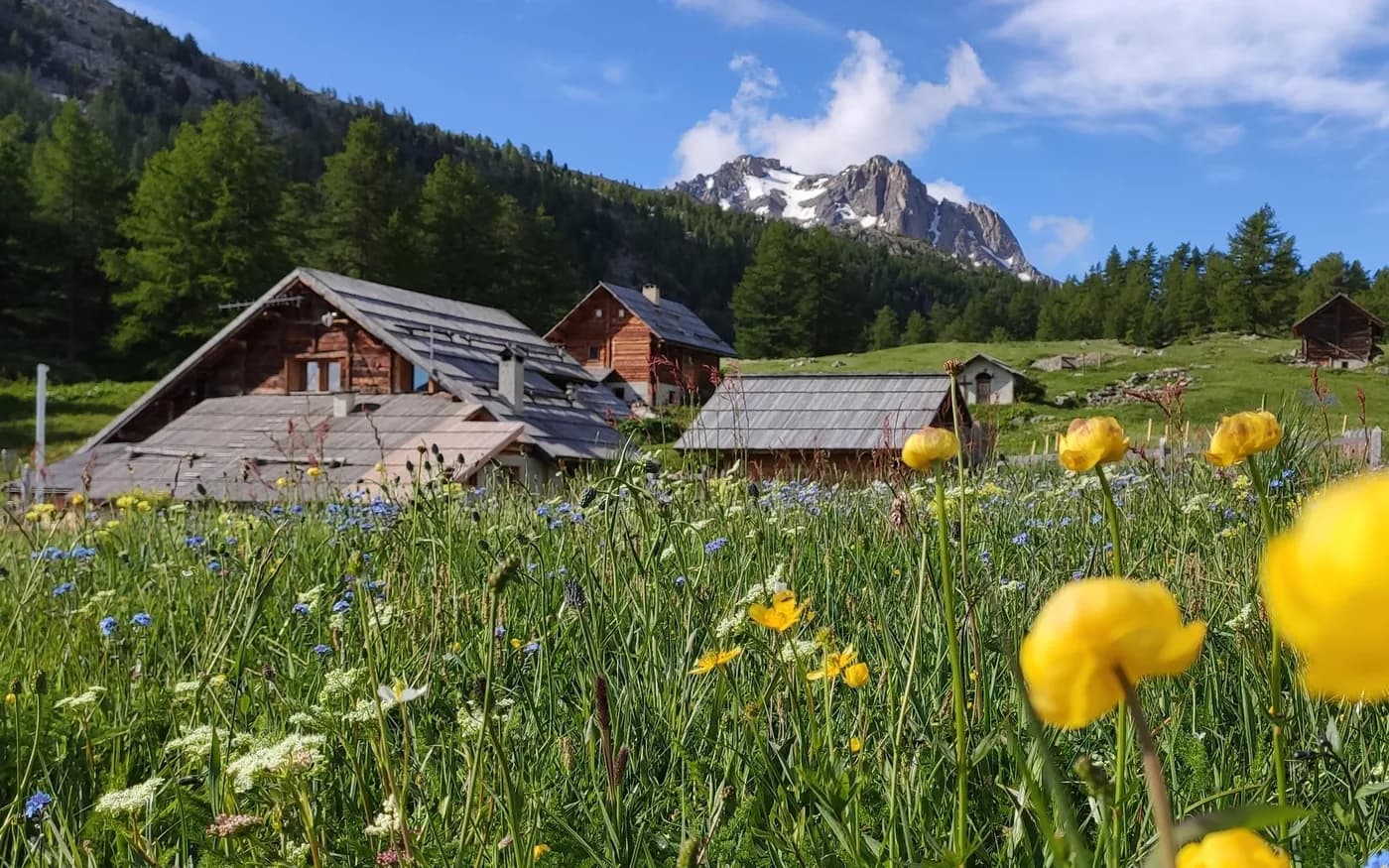
4 days (3 nights): A carbon-free journey from Modane to Briançon — photo 1
  • 4 days (3 nights): A carbon-free journey from Modane to Briançon — photo 2
  • 4 days (3 nights): A carbon-free journey from Modane to Briançon — photo 3
  • 4 days (3 nights): A carbon-free journey from Modane to Briançon — photo 4
  • 4 days (3 nights): A carbon-free journey from Modane to Briançon — photo 5
Not yet bookable online4 days · 3 nightsSummer

4 days (3 nights): A carbon-free journey from Modane to Briançon

Refuge du Mont Thabor - Refuges I Re Magi - Terzo Alpini - Buffère

Benefit from the convenience of the train to discover the extraordinary surroundings of Thabor and Cerces on a north-south crossing of these mountain ranges.

Duration
4 days · 3 nights
Distance
71 km
Elevation gain
+3,800 m
Level
Moderate
Season
in summer
Highest point
3,159 m
Thabor MaurienneStart : Modane stationGetting to Modane station

Route map and profile

Tap a stage to see it on the map and profile.

Whole tour: 71 km · 24 h 30 walking · +3,800 m · 3 nights in refuges

Elevation profileDistance 70.5 kmAscent 5099 m
1000210032000 km70.5 km
Altitude 1095–3159 m

Refuges along the way

  • Refuge du Thabor
  • Refuge I Re Magi
  • Refuge Terzo Alpini
  • Refuge Buffère

The route, day by day

4 days of walking

Nights in refuges bookable online can also be booked one at a time, from their page; the others, with the refuge.

  1. D1
    Day 1

    From Modane station to Refuge du Mont Thabor

    18 km · 5 h 30 · +1,450 m · 1050 m → 2500 m

    On leaving Modane station, turn left and walk for 50 metres to cross the railway line (through the underground tunnel running under the police station). At the end of the tunnel, turn right and follow the road until you have passed Hotel Bellevue. The GR5 to the refuge starts 100 metres after the hotel. Follow it all the way to the refuge. Just before arriving in Valfréjus, after crossing the Charmaix stream, it is best to take the path alongside the stream. This leads to the Lavoir (wash house) on the left bank of the valley, at Les Herbiers. At the Lavoir (1,923 m), continue along the trail heading SW until you reach the La Losa water source (2,099 m). You can reach Refuge du Mont Thabor (2,502 m) either via the right bank and Col de la Vallée Etroite, or along the left bank via the chalets of Mounioz.

    Night 1 · tonight's refuge

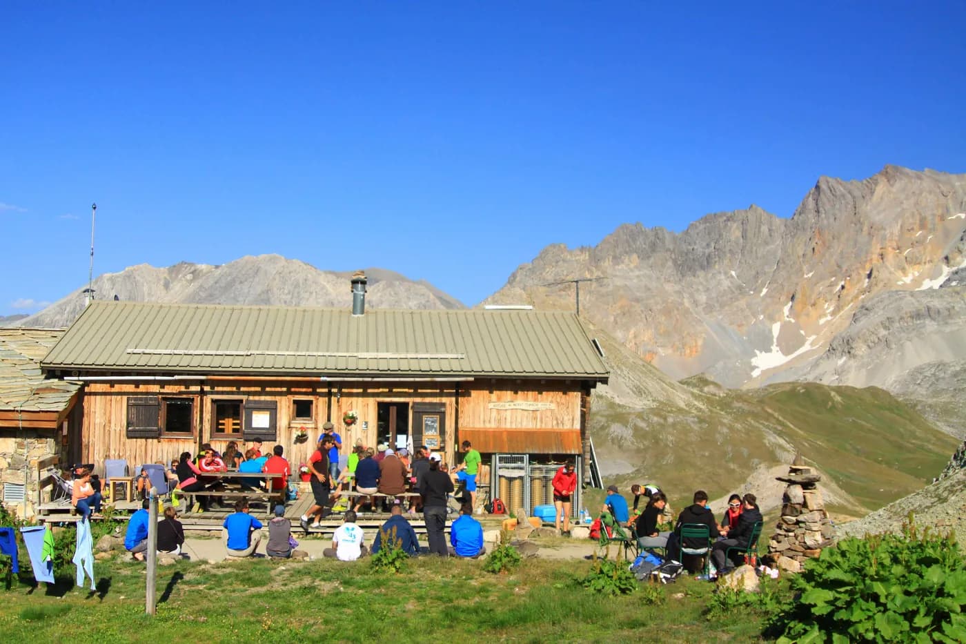
    Refuge du ThaborWith the refuge

    See the refuge page

  2. D2
    Day 2

    Refuge du Mont Thabor to Granges de la Vallée Etroite via Mont Thabor

    15 km · 6 h · +850 m · −1,600 m · 2500 m → 1760 m

    From Refuge du Mont Thabor, leave Col de la Vallée Etroite (2,434 m) and head along the GR57 towards Lac du Peyron (2,453 m) and then Col des Méandes (2,727 m). Climb to the top of Mont Thabor (3,178 m) and back, before winding your way down Vallon du Dîner to reach Pont de la Fonderie (1,910 m) and then Granges de la Vallée Etroite (1,760 m).

    From the Pont de la Fonderie, cross the Ruisseau de la Vallée Etroite and make a short but steep ascent to a small grassy plateau leading to the wonderful Lac Vert.

    Night 2 · tonight's refuge

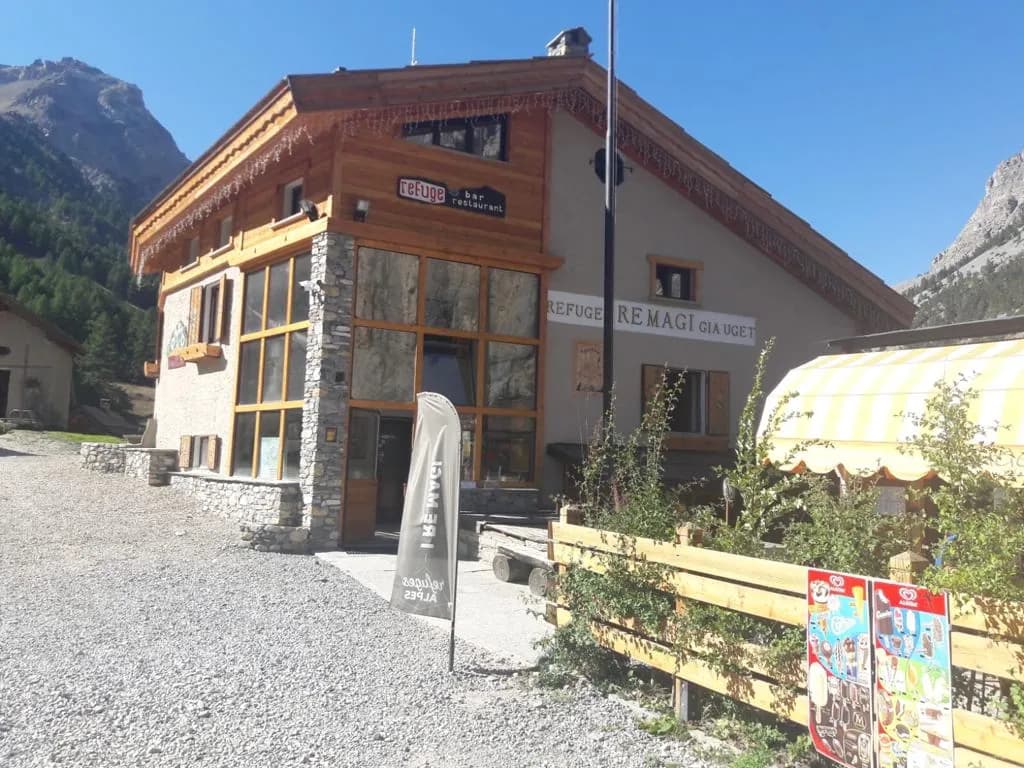
    Refuge I Re MagiWith the refuge

    See the refuge page

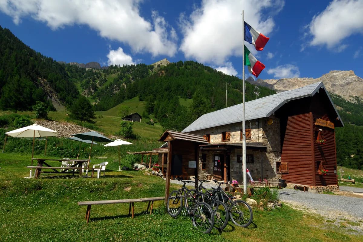
    Refuge Terzo AlpiniWith the refuge

    See the refuge page

  3. D3
    Day 3

    Granges de la Vallée Etroite to Refuge Buffère

    15 km · 6 h · +900 m · −600 m · 1760 m → 2076 m

    From the Granges de la Vallée Etroite, take a beautiful, easy path up to the Col des Thures (2194m), then head down to Névache via the gently sloping grassy valley at the top and along the well-trodden winding path by the Clarée (Cheminées de Fée). Once you reach Chalet Forestier (1,738 m), there are two options for getting to Névache. You can either take the south-facing scenic overlook (which starts just below the chalet), or the GR57 via the hamlet of Roubion (there is a free shuttle service from Roubion to Névache running from 12 July to 24 August). From Névache, cross the river Clarée to join the le GR®57 on the right bank, which you follow until you reach Pont du Rately. A little further on, turn right onto the path that continues towards Fontcouverte and walk up to Refuge Buffère (1 hr 30, an easy route).

    Option: From Vallée Etroite, walk up to the Fonderie (foundry). Turn left just before the Maison des Chamois on a path that is steep at first and leads around the Tête du Chien to reach Col du Vallon (2,645 m) following a good path. Come down the long yet little valley of Vallon towards Névache This is a relatively easy route. You’ll arrive just above Ville Haute. Second option: From Névache, turn left shortly after Pont de l'Outre and walk up to Lac de Cristol. Go back to the start of the valley, then follow the Côte Rouge path halfway up the north face of l’Echaillon to reach Refuge Buffère. Third option: From Refuge Buffère, climb to Col de Buffère and take the sometimes steep path to the left that leads to Grand Area (2,869 m, 2 hrs). Enjoy magnificent panoramic views of the Cerces and Oisans. Return via the same route.

    Night 3 · tonight's refuge

    Refuge BuffèreBookable online

    Bookable online, one night at a time, from its page. See its places

    See the refuge page

  4. D4
    Day 4

    Refuge Buffère to Briançon station

    22 km · 7 h · +600 m · −1,300 m · 2076 m → 1326 m

    From Refuge Buffère (2,076 m), take the Côte Rouge path to reach Vallon de Cristol, and then the lakes and Porte de Cristol (2,483 m). From here, head for the Col du Granon (2,404 m) via Col des Cibières (2,350 m) and Col de l'Oulles (2,548 m). Follow Crêtes de Peyrolles (2,645 m) to the Croix de Toulouse (1,962 m) overlooking Briançon, then make your way down to Briançon, ending up at the Champ de Mars at the entrance to the city’s historic centre, nestling within its ramparts. The station is in the lower part of the city.

    Arrival · end of the tour

    No night to book that evening.

Other routes in the same category

See the whole category