6 km
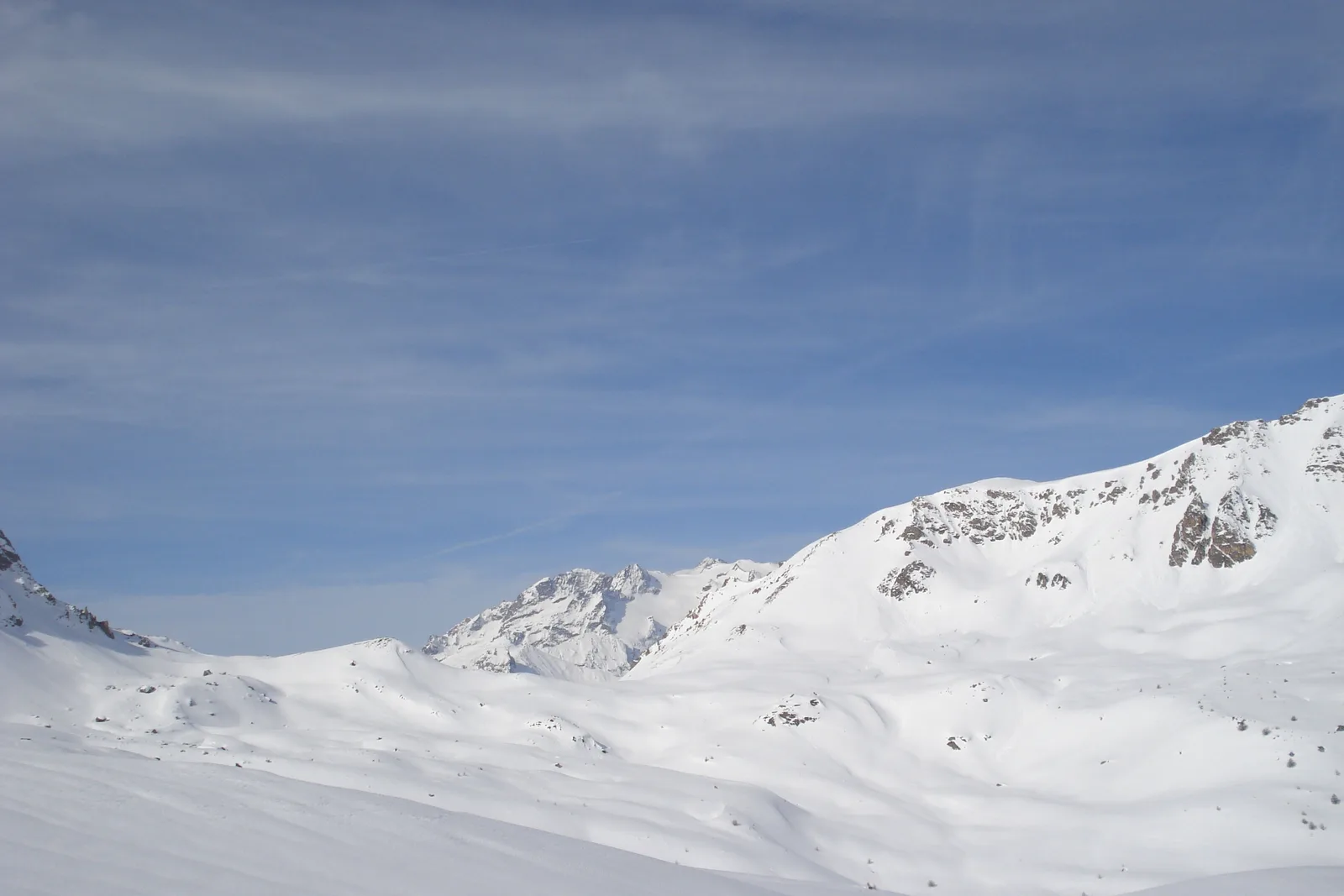
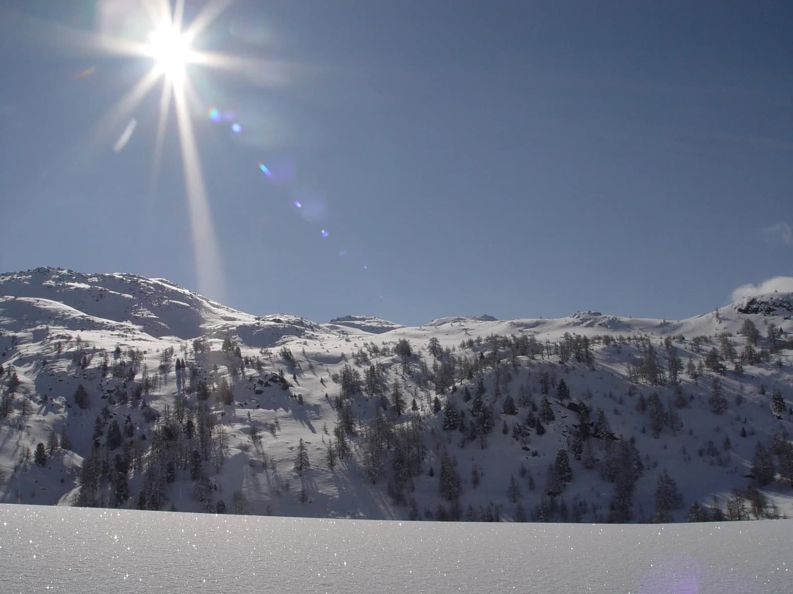
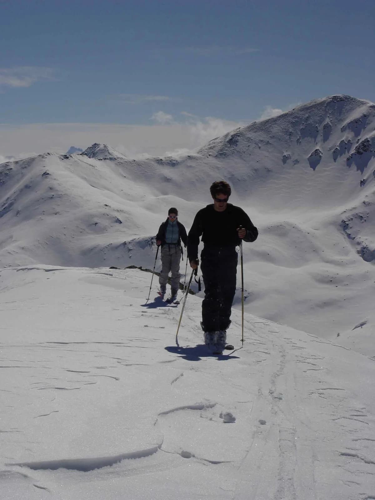
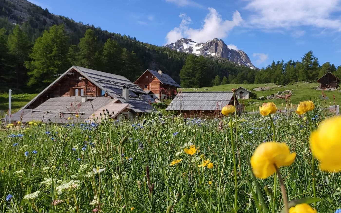
Leaving the refuge, after passing Chapelle de Saint Ignace, turn left (south/east) to cross the Buffère stream. Continue along the right bank until you reach a small combe in a forest with larch trees and umbrella pines at an altitude of 2,250 m. Pass through another combe (east/south) at 2,395 m and from there you'll reach the large final combe leading to Col du Milieu de l'Echaillon. Continue northwards all the way to this small summit (2,578 m) - to enjoy the beautiful scenery and atmosphere. Descent * Or following the same route (possible even in adverse weather conditions) * Or from the summit at 2,578 m, keep your skins on the ridge to the north (beautiful scenery) at an altitude of 2,589 m (with superb views), take the western slope known as the "Crazy slope" to reach Refuge Buffère. * Or, from the summit at an altitude of 2,578 m, there is a splendid combe to the south/east above Lac de Cristol (2,245 m). From here, there are two options: 1a - Make your way down to Névache - Ville Haute through a larch forest, taking care to stay strictly on the left bank of Ruisseau de Cristol in order to reach the village. 2a - Put your skins back on to climb Vallon de Cristol to an altitude of 2,426 m west/north-west and the slopes that lead to Echaillon (a stunning view). From the ridge at an altitude of 2,550 m, drop down along some lovely slopes to reach Refuge Buffère.