Skip to content
Compagnie des Refuges Clarée Thabor
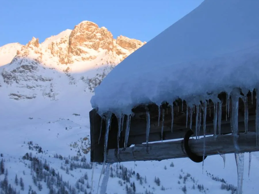
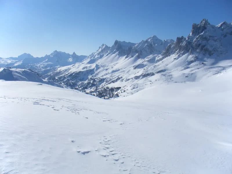
Pointe de Roche-Château (2,898 m) starting from Refuge des Drayères. — photo 1
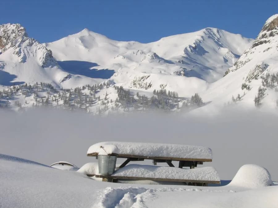
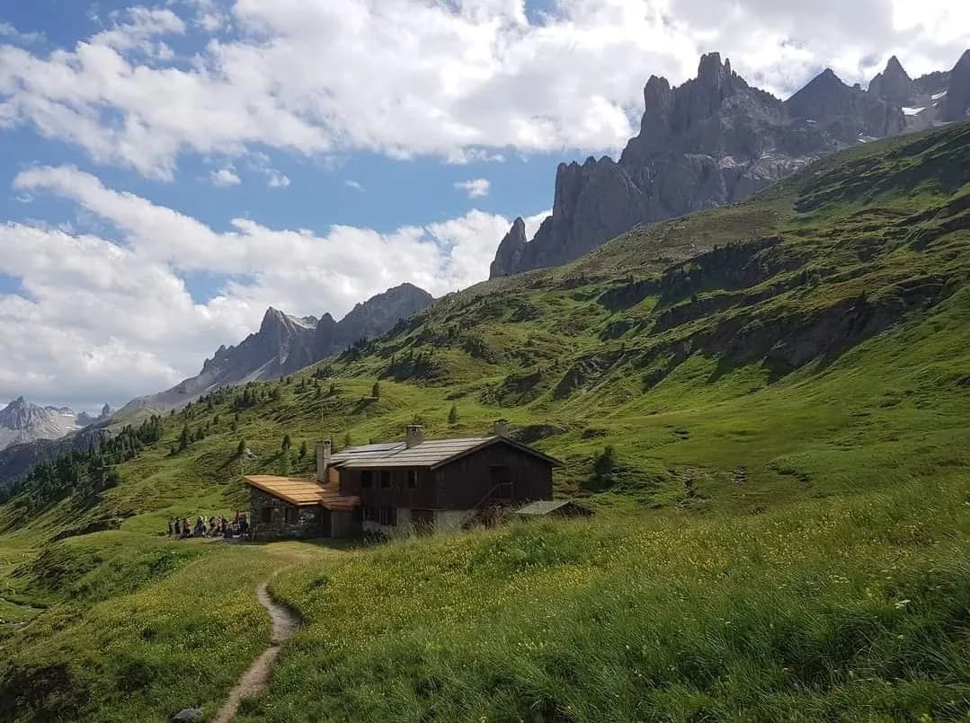
  • Pointe de Roche-Château (2,898 m) starting from Refuge des Drayères. — photo 2
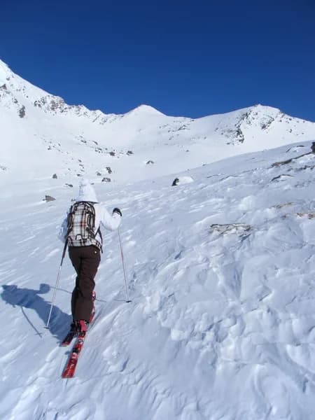
  • Pointe de Roche-Château (2,898 m) starting from Refuge des Drayères. — photo 3
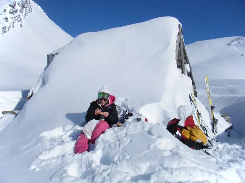
  • Pointe de Roche-Château (2,898 m) starting from Refuge des Drayères. — photo 4
1 dayWinter

Pointe de Roche-Château (2,898 m) starting from Refuge des Drayères.

From Refuge des Drayères

A picturesque tour on skis or snowshoes through a splendid valley to the north of Refuge des Drayères.

Duration
1 day
Elevation gain
+718 m
Level
Moderate
Season
in winter
Highest point
2,898 m
ClaréeStart : Drayères refugeGetting to Drayères refuge

Route map and profile

No track available

No GPS track is available for this route.

Refuges along the way

  • Refuge des Drayères

The route, day by day

1 day of walking

  1. D1
    Day 1

    From Refuge des Drayères

    Head north-east from the refuge and skirt the Roche-Benoit (Baume Noire ridge) to the right, keeping to the left for the rest of the way. Pass Cabane de l'Ours (2,380 m) and continue along the Baume Noire ridge (keeping left) to the small Roche-Château pyramid at the bottom of Vallon du Lau. Descend by the same route or by following Vallon de la Valette (west) and return either via Col de l'Aiguille Noire or Col de la Plagnette (south) and then along the Clarée (south-east) to the refuge.

    Refuge des DrayèresWith the refuge
    See the refuge page

Other routes in the same category

See the whole category