Skip to content
Compagnie des Refuges Clarée Thabor
Pointe des Cerces (3,097 m) starting from Refuge Laval — photo 1
  • Pointe des Cerces (3,097 m) starting from Refuge Laval — photo 2
1 dayWinter

Pointe des Cerces (3,097 m) starting from Refuge Laval

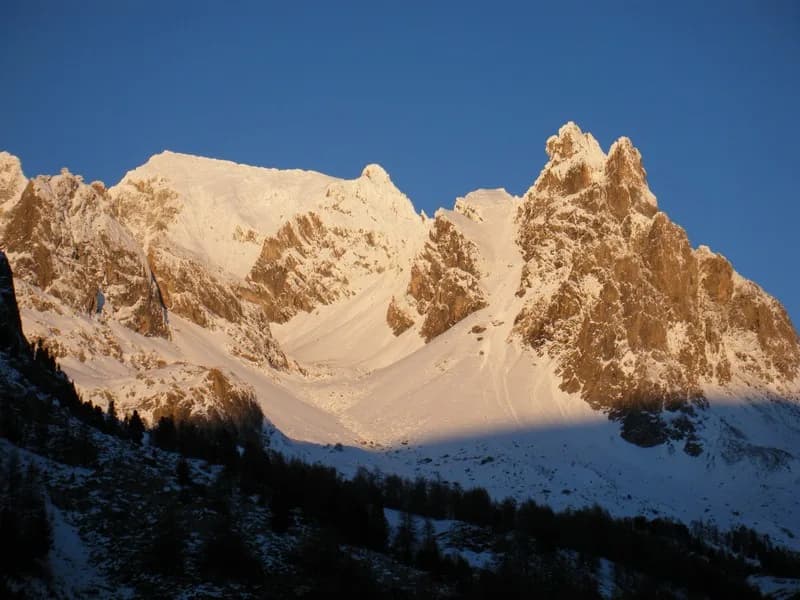
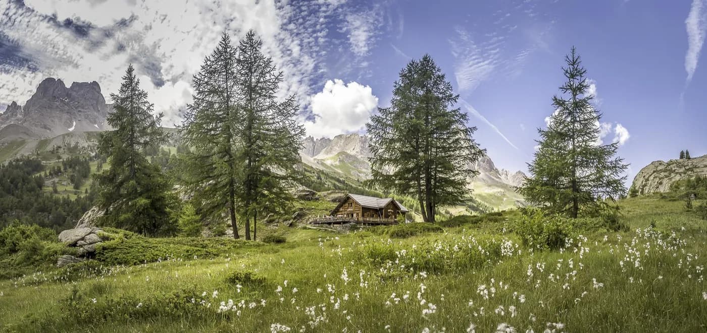
A beautiful view of the summit from the refuge

Duration
1 day
Distance
9 km
Elevation gain
+1,080 m
Level
Difficult
Season
in winter
Highest point
3,104 m
ClaréeStart and finish in Laval refugeGetting to Laval refuge

Route map and profile

Tap a stage to see it on the map and profile.

Whole tour: 9 km · +1,080 m

Elevation profileDistance 8.5 kmAscent 1087 m
2000260032000 km8.5 km
Altitude 2017–3104 m

Track from camptocamp.org (CC BY-SA) 48047

Refuges along the way

  • Refuge Laval

The route, day by day

1 day of walking

  1. D1
    Day 1

    starting from Refuge Laval

    9 km

    From the refuge, cross the Clarée at Pont des Béraudes and head towards La Main de Crépin. Follow Vallon des Sagnes Froides, until you reach the end of the valley. Climb the steep slope that leads to the west ridge up to the summit. Beware of possible sharp ledges (protruding rock formations at the end of the season). From the summit, you can also walk down to Refuge des Drayères via the Col des Cerces. There are some tricky passages before you reach the pass and crampons are sometimes useful along the ridge.

Other routes in the same category

See the whole category