Skip to content
Compagnie des Refuges Clarée Thabor
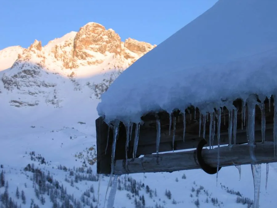
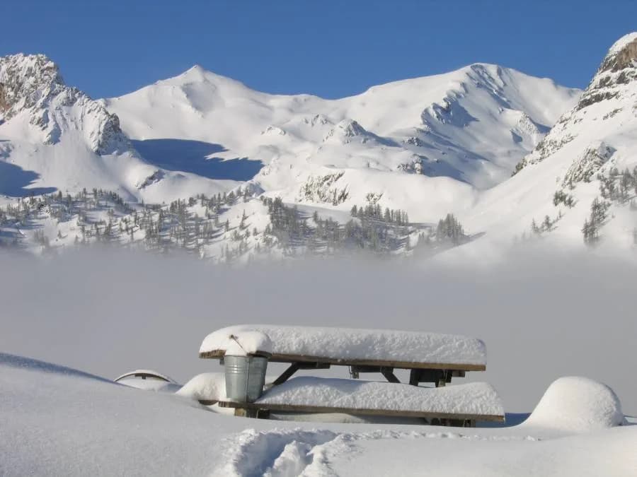
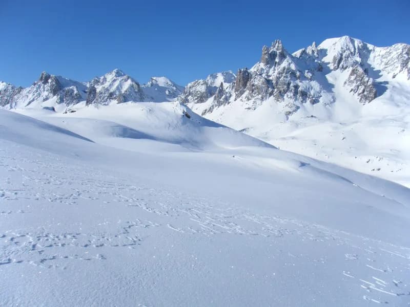
Rocher de la Grande Tempête (3,002 m) from Refuge des Drayères. — photo 1
  • Rocher de la Grande Tempête (3,002 m) from Refuge des Drayères. — photo 2
  • Rocher de la Grande Tempête (3,002 m) from Refuge des Drayères. — photo 3
  • Rocher de la Grande Tempête (3,002 m) from Refuge des Drayères. — photo 4
  • Rocher de la Grande Tempête (3,002 m) from Refuge des Drayères. — photo 5
1 dayWinter

Rocher de la Grande Tempête (3,002 m) from Refuge des Drayères.

From Refuge des Drayères

Fabulous vistas of Mont Thabor and the Ecrins.

Duration
1 day
Distance
10 km
Elevation gain
+822 m
Level
Difficult
Season
in winter
Highest point
3,002 m
ClaréeStart and finish in Drayères refugeGetting to Drayères refuge

Route map and profile

Tap a stage to see it on the map and profile.

Whole tour: 10 km · +822 m

Elevation profileDistance 9.9 kmAscent 858 m
2100260031000 km9.9 km
Altitude 2140–3002 m

Track from camptocamp.org (CC BY-SA) 49466

Refuges along the way

  • Refuge des Drayères

The route, day by day

1 day of walking

  1. D1
    Day 1

    From Refuge des Drayères

    10 km

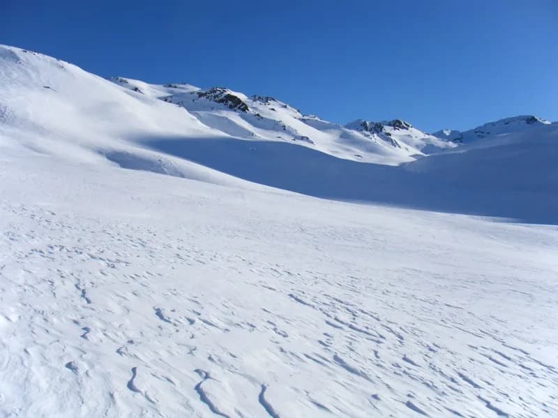
    As soon as you leave the refuge, head (N-E) along the right bank of the Muandes stream, then, as the valley narrows, cross the stream and climb to Lac Rond des Muandes (E/S-E). Continue along Crête des Muandes (on the right-hand side) (E/S-E) until you come to the bottom of the valley. The end of the route gradually increases in elevation and, depending on the snow conditions, hikers may need to continue on foot or, in certain cases, with crampons. The descent follows the same route, although it is possible to reach Refuge Ricou or Refuge Laval by crossing Col de la Tempête and descending due south towards Lac de la Cula.

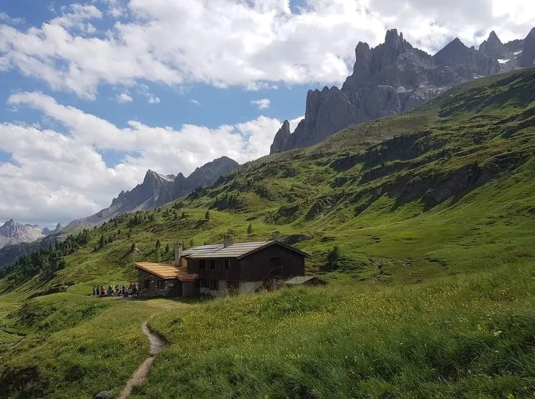
    Refuge des DrayèresWith the refuge
    See the refuge page

Other routes in the same category

See the whole category