15 km · 2 h 30 · +250 m · 2015 m → 2375 m
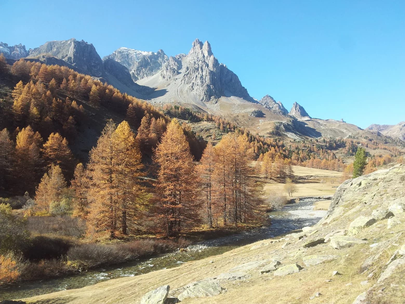
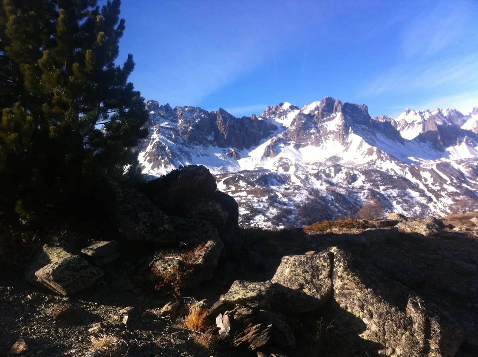
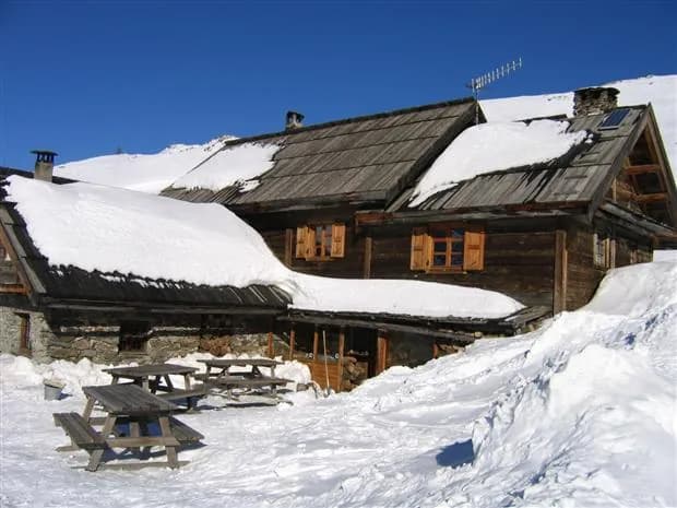
Refuge Ricou is located midway along this route. There are several ways of making the route longer at either end ( a popular trail that connects a number of locations without having to go down onto the road). From the refuge, there are two options. From Ricou, head up towards the lakes. This well-travelled path leads to a junction with Chemin de Ronde below Lac Laramon (signposted). To reach the bottom of the valley: Bear left towards Laval, after a slightly gullied section where you need to be careful, the path winds gently over some flat areas and a few traverses without too much difficulty. Cross the wooden bridge over Ruisseau de la Cula and climb up to the left until you reach a pass at Côte du Jas. Chemin de Ronde then winds its way down towards Laval. From here you can climb back up to Les Drayères or head down to Névache along the right bank of the Clarée. To return to Névache: From the junction, turn right onto the almost level path that takes you to a small pass (Lac au Printemps, depending on the year). Follow the path to just above Granges de Biaune, where the path starts to lead down to Lacou (the chapels). You can then return to Névache along the road (or by shuttle bus in summer), or by following the right bank of the Clarée over Pont du Rately (towards Buffère). This route offers superb views of the Cerces Mountains.