
Skip to content
Compagnie des Refuges Clarée Thabor
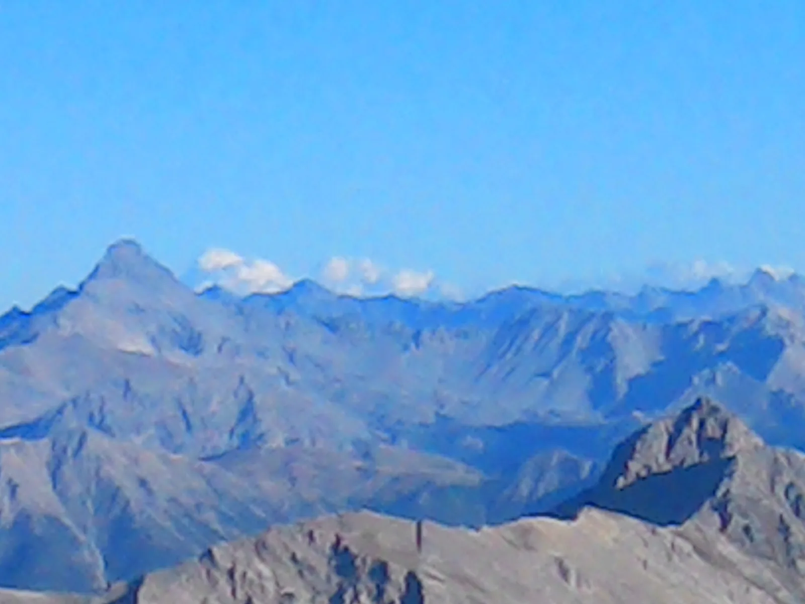
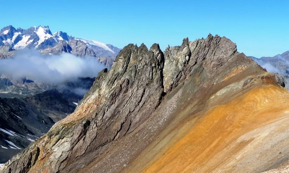
Mont Thabor (3,178 m) via Lac du Peyron — photo 1
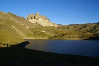
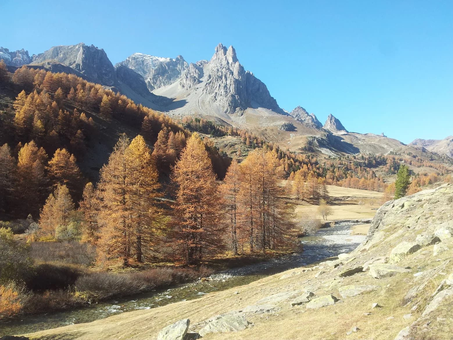
  • Mont Thabor (3,178 m) via Lac du Peyron — photo 2
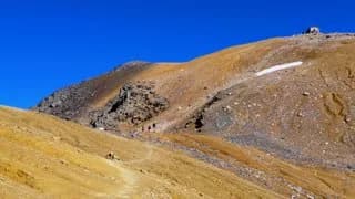
  • Mont Thabor (3,178 m) via Lac du Peyron — photo 3
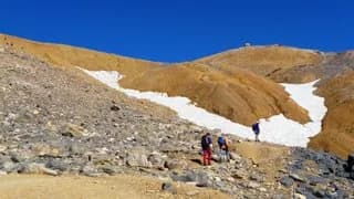
  • Mont Thabor (3,178 m) via Lac du Peyron — photo 4
  • Mont Thabor (3,178 m) via Lac du Peyron — photo 5
1 daySummer

Mont Thabor (3,178 m) via Lac du Peyron

From Refuge du Mont Thabor

A lovely tour. The classic route from Refuge du Mont Thabor!

Duration
1 day
Distance
7 km
Elevation gain
+850 m
Level
Easy
Season
in summer
Highest point
3,178 m
Thabor MaurienneStart : Thabor refugeGetting to Thabor refuge

Route map and profile

Tap a stage to see it on the map and profile.

Whole tour: 7 km · 3 h 30 walking · +850 m

Elevation profileDistance 6.8 kmAscent 833 m
2400285033000 km6.8 km
Altitude 2425–3164 m

Refuges along the way

  • Refuge du Thabor

The route, day by day

1 day of walking

  1. D1
    Day 1

    From Refuge du Mont Thabor

    7 km · 3 h 30 · +850 m · 2502 m → 3178 m

    From the refuge (2,502m), head down to Col de Vallée Etroite. At the pass, take the right-hand path and climb across to Lac du Peyron (2,440 m). Skirt the lake and take a path that leads around the rocky outcrop overlooking the lake to the left. You then reach Col des Méandes (2720 m) where you can join the "classic Italian route". The track to the south crosses the rocky bar on the edge of the small cirque where the pass leads. Then follow the path (the cross) towards the summit, which is now in your reach. The summit (3,178 m) is just behind the chapel.

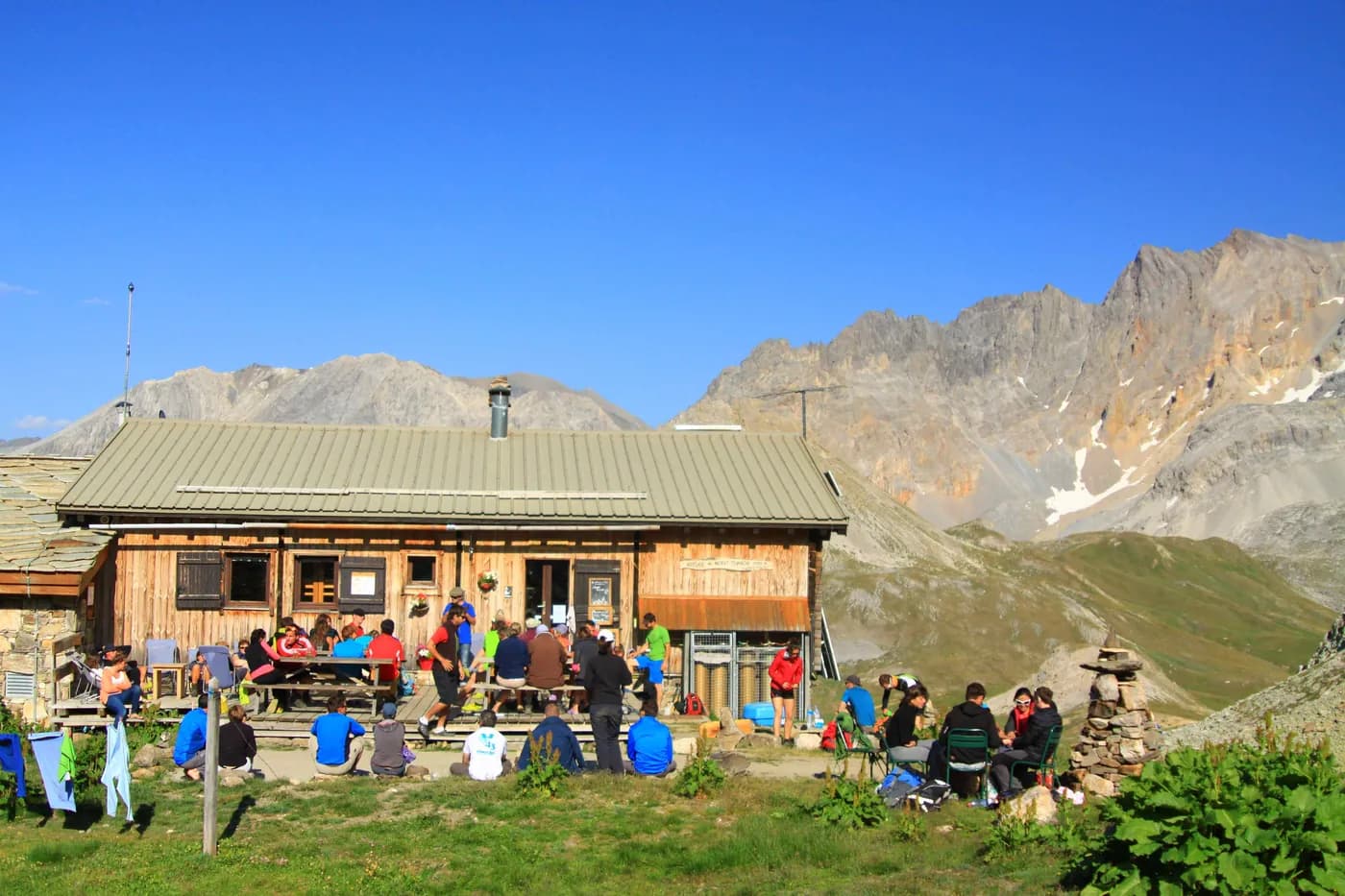
    Refuge du ThaborWith the refuge
    See the refuge page

Other routes in the same category

See the whole category