No night to book1 daySummer
Col des Muandes (2,828 m)
From Refuge Laval
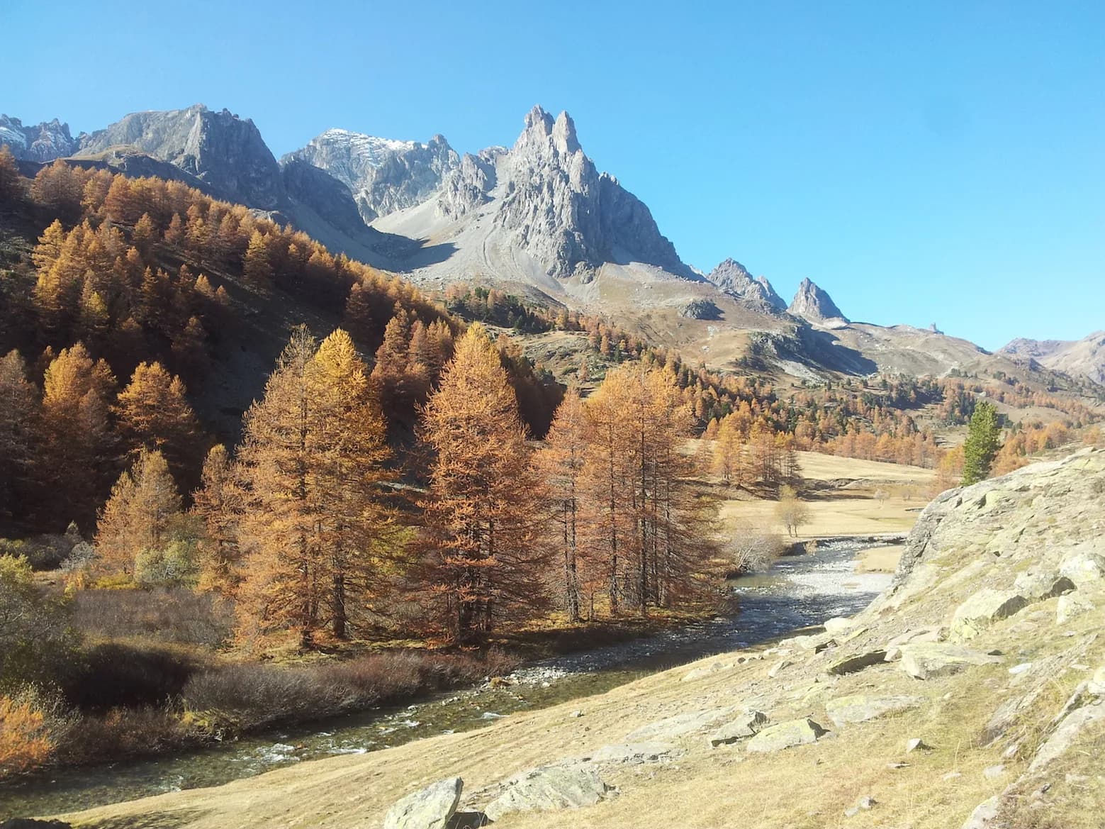
A beautiful hike to discover three lakes.
- Duration
- 1 day
- Distance
- 14 km
- Elevation gain
- +850 m
- Level
- Moderate
- Season
- in summer
- Highest point
- 2,838 m
Description
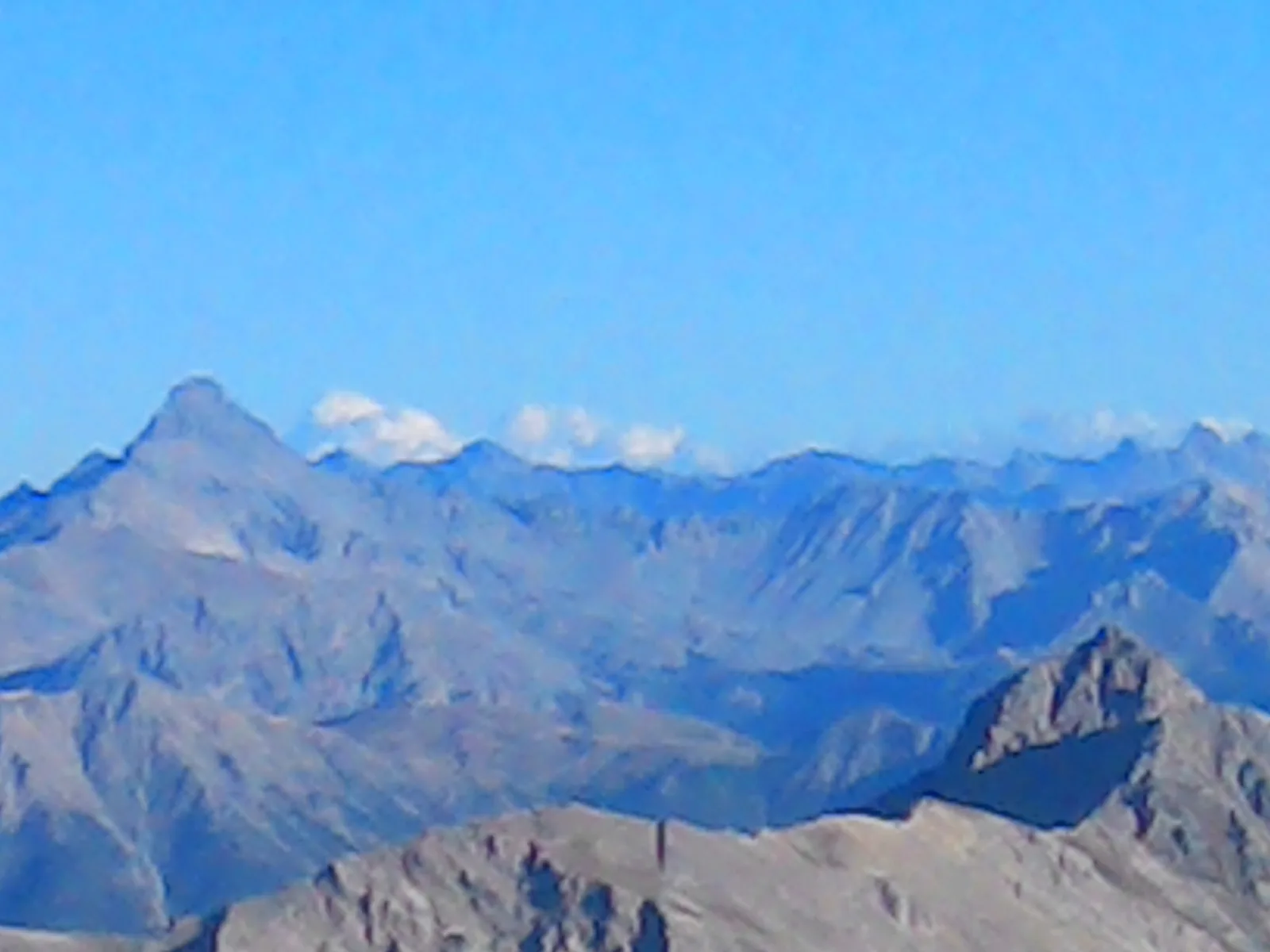
From Refuge Laval, head due north towards the car park of the same name, following the path along the left bank of the river Clarée. The trail gently climbs up to the right. You'll reach Lac Long first (1 hr), from where you can enjoy a superb view of the Massif des Cerces. Follow the path along the left side of the lake and continue towards Lac Rond (2,446 m), and then Lac des Muandes (2,580 m). The Col des Muandes path is a steep climb (2,828 m), and from here you can enjoy a fabulous view of the Massif des Cerces, Ecrins, Thabor and Aiguilles d'Arves.
Route map and profile
Whole tour: 14 km · +850 m
Elevation profileDistance 14 kmAscent 850 m