No night to book1 daySummer
Col du Chardonnet (2,230 m)
The Refuge du Chardonnet highlight!
- Duration
- 1 day
- Elevation gain
- +408 m
- Level
- Easy
- Season
- in summer
- Highest point
- 2,638 m
Description
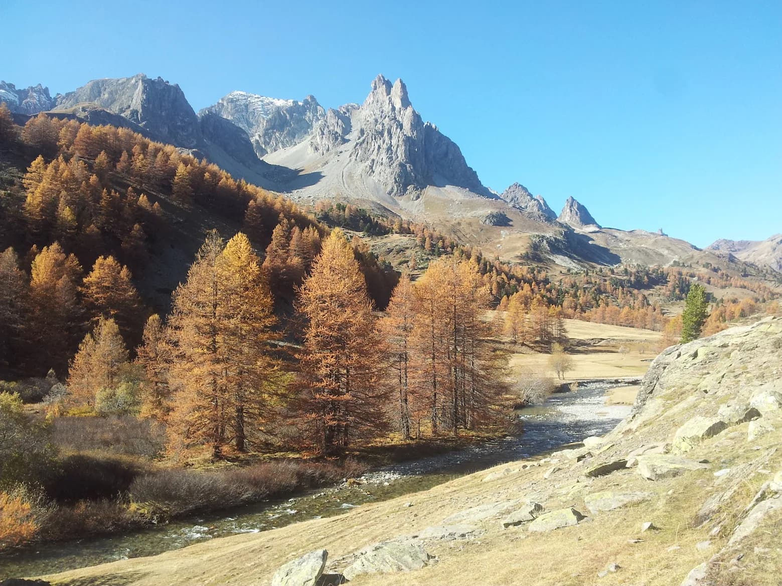
A superb view of the entire Ecrins Massif from the pass. Leaving Refuge du Chardonnet and join the G57, which runs nearby. At the signpost, go over a small bridge and take the path to the right. Follow the well-marked path to the pass. When the weather is bad, you can use the poles of a former military telephone line, which follow the same route. Special feature: You are standing on the remains of a major graphite mining site, where extraction began in around 1832 (see "Les mines du soleil", published by the SIVU patrimoine).
Route map and profile
No track available · No GPS track is available for this route.