Skip to content
Compagnie des Refuges Clarée Thabor
Grand Area (2,869 m) — photo 1
  • Grand Area (2,869 m) — photo 2
  • Grand Area (2,869 m) — photo 3
  • Grand Area (2,869 m) — photo 4
  • Grand Area (2,869 m) — photo 5
  • Grand Area (2,869 m) — photo 6
1 daySummer

Grand Area (2,869 m)

The Refuge Buffère highlight!

A former "strategic" summit with a breathtaking 360° panoramic view...

Duration
1 day
Elevation gain
+800 m
Level
Moderate
Season
in summer
Highest point
2,869 m
ClaréeStart : Buffère refugeGetting to Buffère refuge

Route map and profile

Tap a stage to see it on the map and profile.

Whole tour: 3 h walking · +800 m

Track from camptocamp.org (CC BY-SA) 444870

No elevation profile

The elevation profile is only computed for routes with a complete track.

Refuges along the way

  • Refuge Buffère

The route, day by day

1 day of walking

  1. D1
    Day 1

    From Refuge Buffère

    5 km · 3 h · +800 m · 2076 m → 2869 m

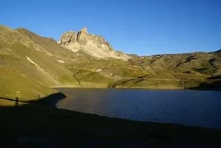
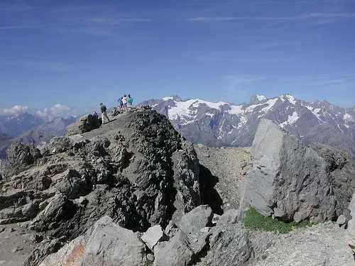
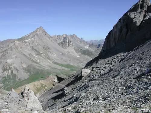
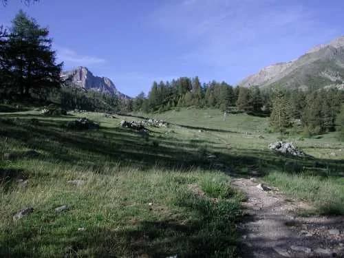
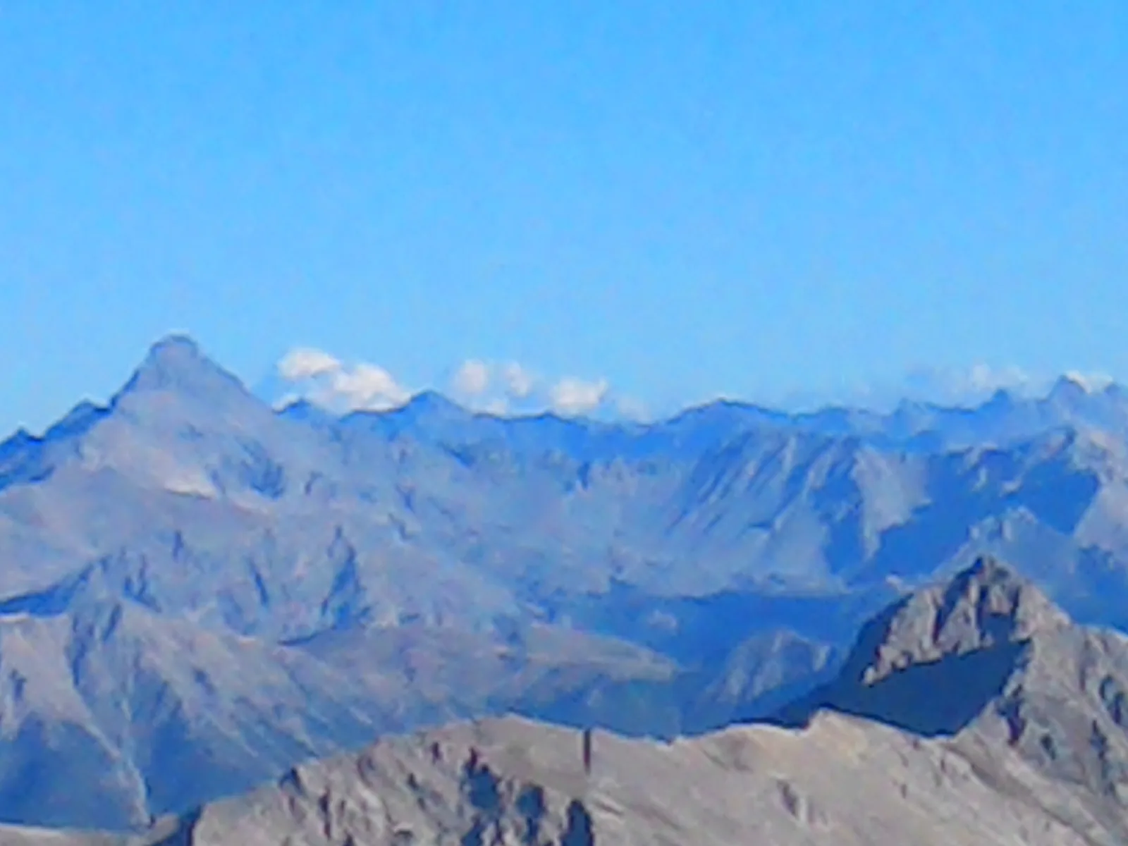
    Follow the GR57 to Col de Buffère (1 hr 15 to 1 hr 30). From the pass, leave the GR57 and head left along a well-marked trail that gradually becomes steeper. It takes around 1 hour 15 to 1 hour 30 minutes to reach the summit of Grand Area at 2,869 m. From here, you'll have a superb view of the Guisane valley, the Meije, the Barre des Ecrins and the peaks of the Oisans region. On a clear day, you can almost reach out and touch Mont Blanc. The descent is made by the same route. For the more experienced, there is the option of descending the north face along a more exposed path to reach Crête de l'Echaillon, from where you can head back down to the left towards Vallon de Buffère to rejoin the GR57, or to the right into Vallon de Cristol to reach Lac de Cristol and return to the refuge along the Côte Rouge path. Alternatively, head S/E towards the St Joseph oratory, then follow the track south to Col de Buffère.
    Refuge BuffèreBookable online

    See the refuge page

Other routes in the same category

See the whole category