The Aiguille Rouge circuit
The refuges of La Vallée Etroite highlights!
- Duration
- 1 day
- Elevation gain
- +770 m
- Season
- in summer
Description
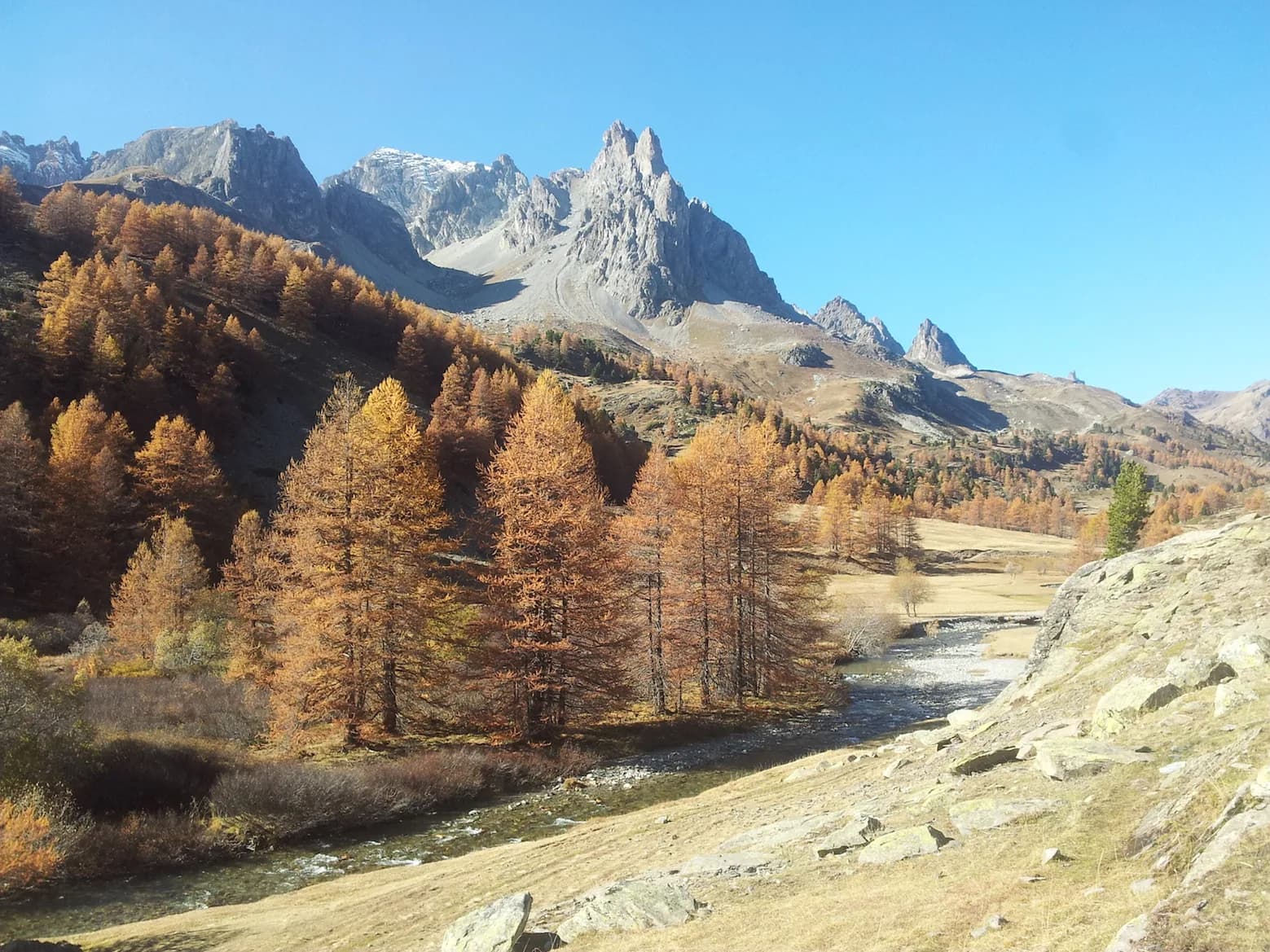
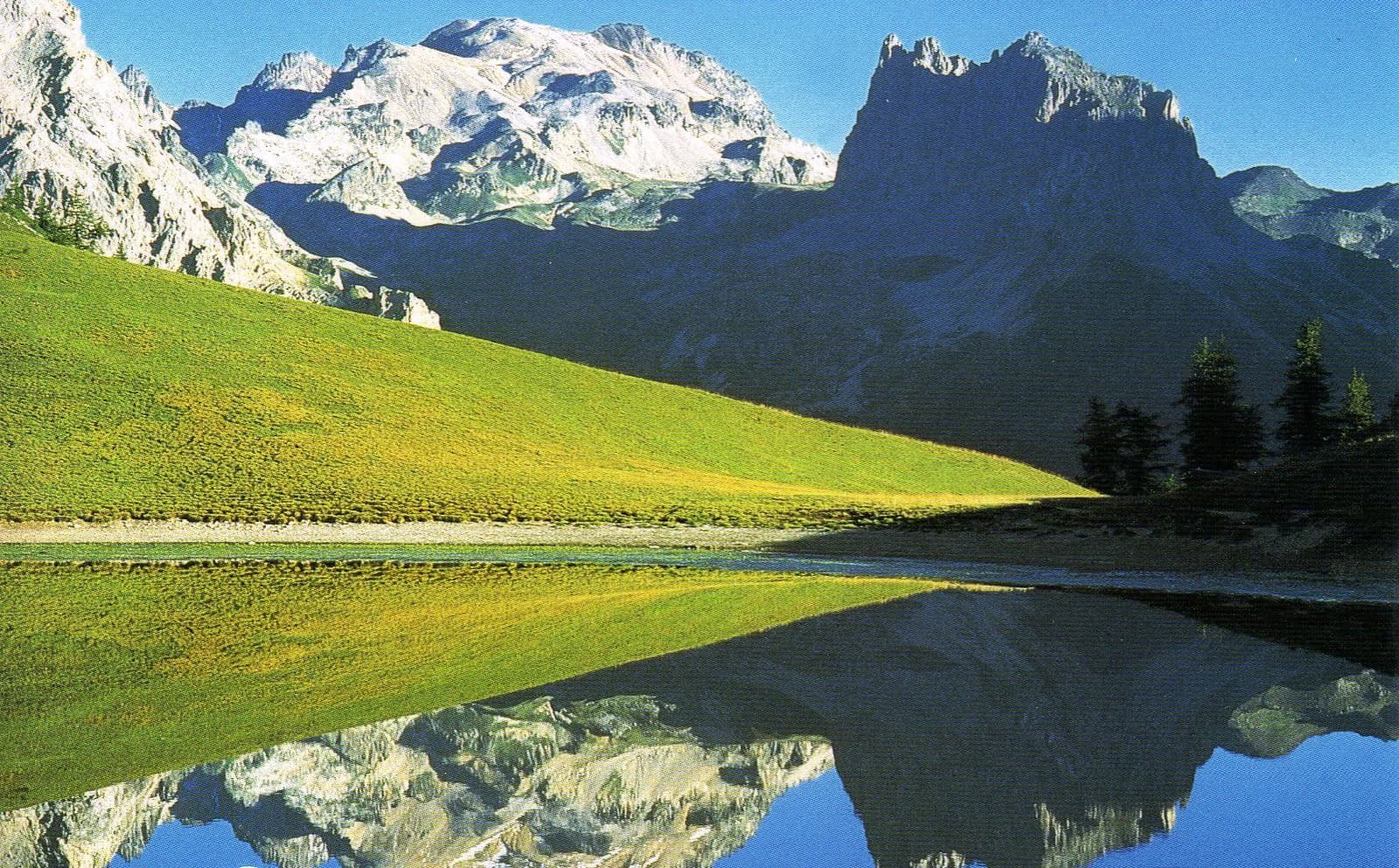
From Granges de la Vallée Étroite, follow the signs for "Névache-Col des Thures". The path climbs through larch and pine forest, then a long traverse leads to Lac Chavillon. From the lake, follow the trail over the scree towards Aiguille Rouge. Climb to the shoulder below the summit (alternative: climb Aiguille Rouge - 1hr 30 round trip) and head down to the right into the valley leading to Col de l'Echelle. On this beautiful descent, you will come across a number of bunkers, a testament to the ingenuity and efforts made at the time. You arrive at the "Echelle" (or ladder - hence the name of the pass) which leads back into Vallée Étroite. Follow the road for about 100 metres, then at the first bend join the path along a scenic overlook. You soon leave this path and enter the forest that leads to the Sette Fontan dam. At the dam, follow the path up the valley along the left bank.
Route map and profile
No track available · No GPS track is available for this route.