Photo 1 of 5
No night to book1 daySummer
Mont Coburne (2,568 m)
The Refuge des Marches highlight!
- Duration
- 1 day
- Distance
- 7 km
- Elevation gain
- +338 m
- Level
- Easy
- Season
- in summer
- Highest point
- 2,568 m
Description
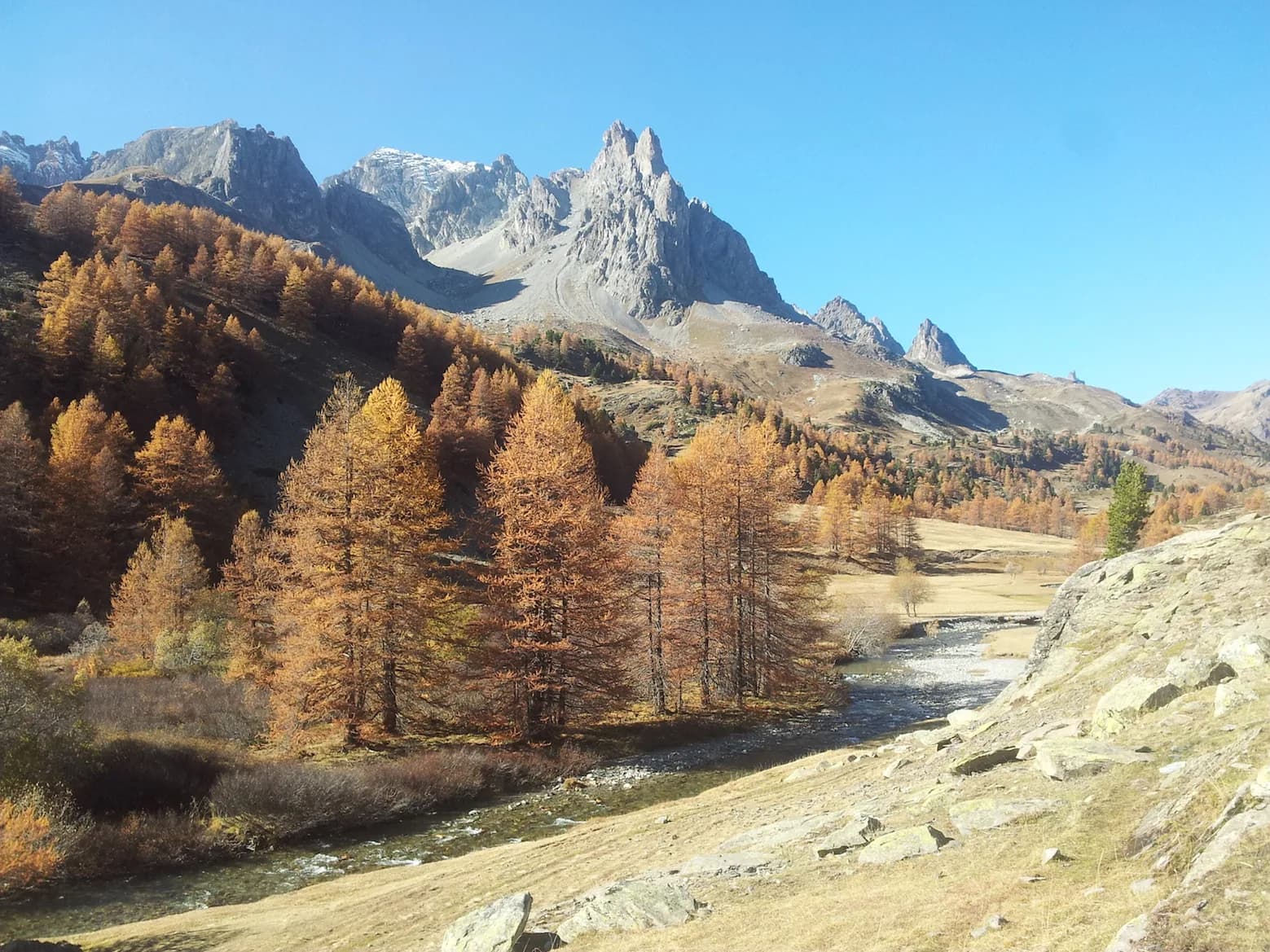
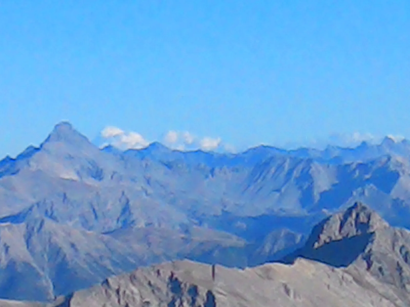
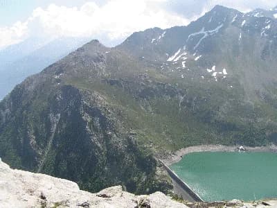
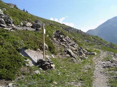
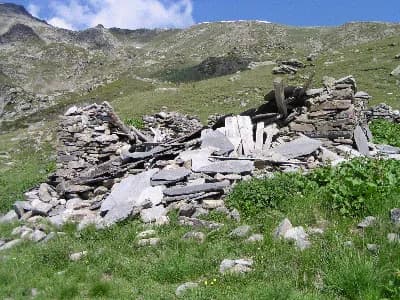
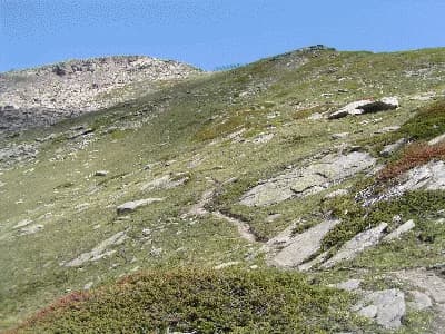
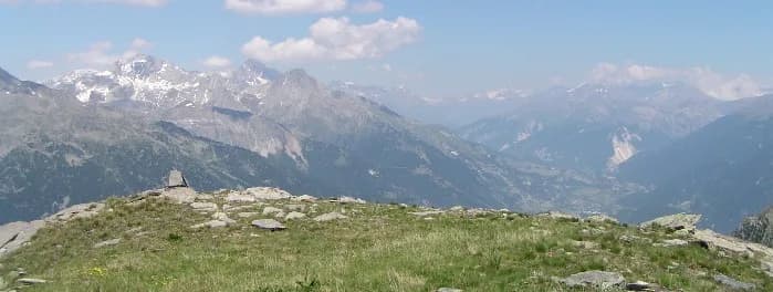
A stunning viewpoint over the Maurienne. An easy and pleasant walk through alpine meadows. From the refuge, take the path down to Lac de Bissorte and continue along the left bank for around 200 metres. At this point, the path on your left leads up to the ruined chalet at La Turraz. Follow the south-facing ridge of Mont Coburne. Walk past the avalanche barriers, which are clearly visible from la Turaz, and make an easy ascent to the summit nearby.