No night to book1 daySummer
Pas de l'Ours (2,490 m)
The Refuge Guido Rey highlight!
- Duration
- 1 day
- Elevation gain
- +800 m
- Season
- in summer
- Highest point
- 2,490 m
Description
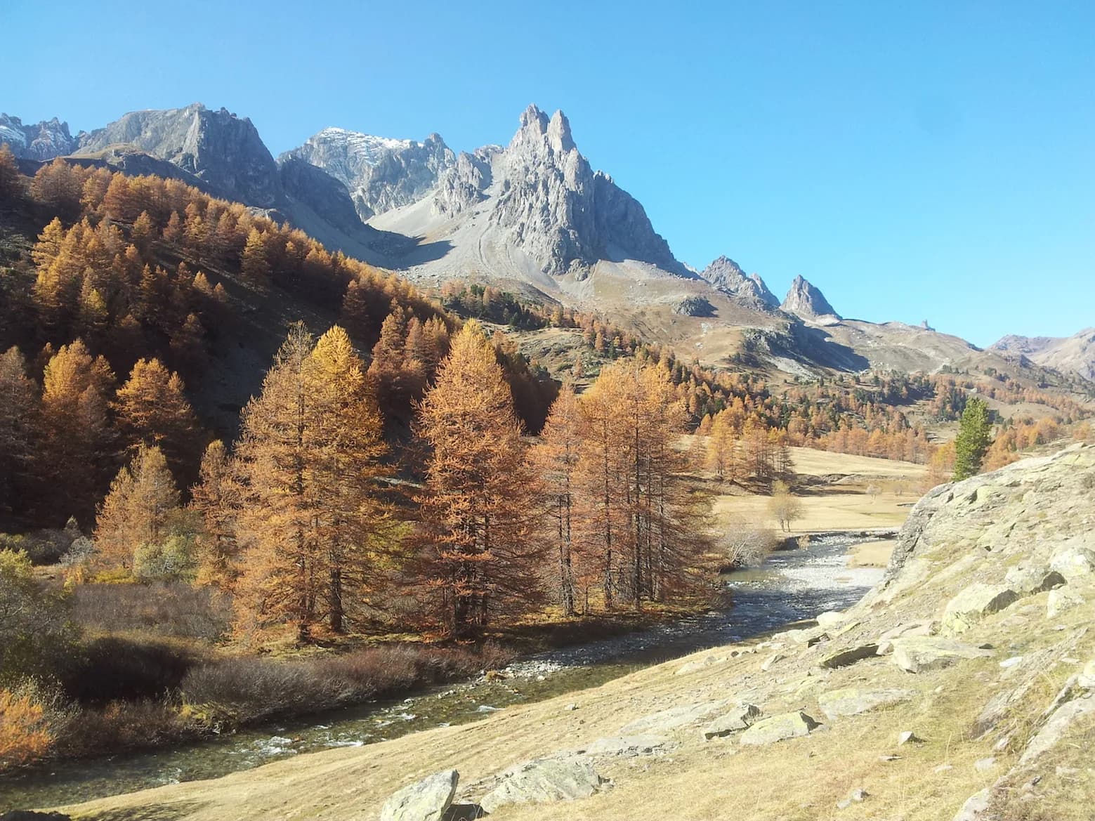
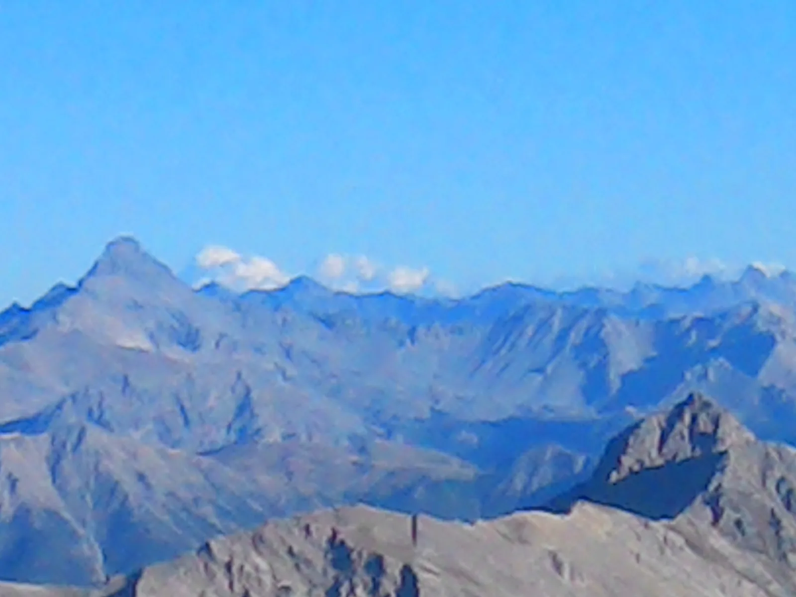
The route leads up to the French border. There is the option of stopping for a break or spending the night at the Blanchetti bivouac. Enjoy fabulous views over Vallée de la Clarée and the Écrins glaciers to the north, and Haute Vallée de Suze and Mont Séguret to the south. You can continue hiking down to Plampinet and Vallée de la Clarée or up to the summit of Grand'Hoche (2,762 m) or Pointe Arbour (2,804 m).
Route map and profile
No track available · No GPS track is available for this route.