Skip to content
Compagnie des Refuges Clarée Thabor
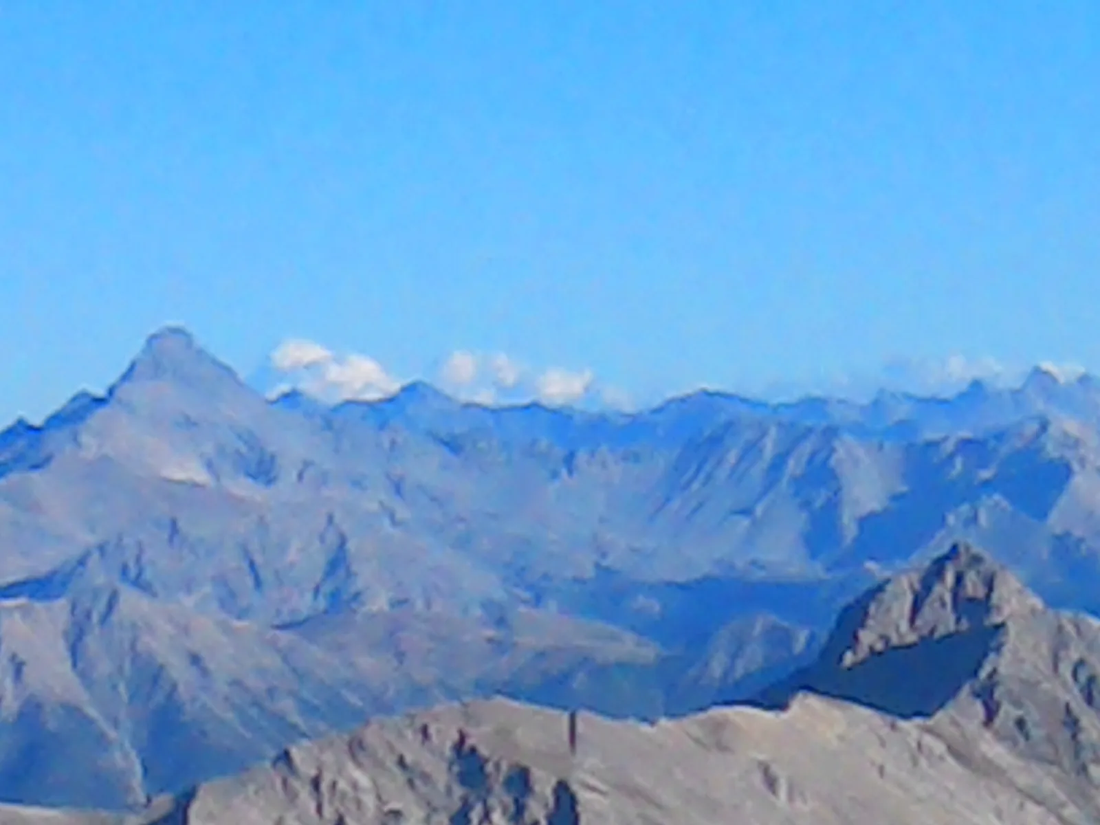
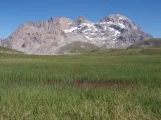
Pointe 3,014 m — photo 1
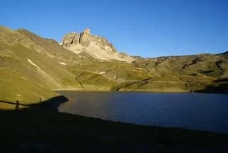
  • Pointe 3,014 m — photo 2
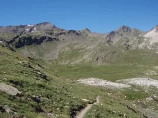
  • Pointe 3,014 m — photo 3
  • Pointe 3,014 m — photo 4
1 daySummer

Pointe 3,014 m

From Refuge du Mont Thabor

A fairly short tour offering a superb view of the Vanoise Massif.

Duration
1 day
Distance
4 km
Elevation gain
+500 m
Level
Moderate
Season
in summer
Highest point
3,014 m
Thabor MaurienneStart : Thabor refugeGetting to Thabor refuge

Route map and profile

Tap a stage to see it on the map and profile.

Whole tour: 4 km · 2 h walking · +500 m

Elevation profileDistance 4 kmAscent 508 m
2400275031000 km4 km
Altitude 2495–2975 m

Refuges along the way

  • Refuge du Thabor

The route, day by day

1 day of walking

  1. D1
    Day 1

    From Refuge du Mont Thabor

    4 km · 2 h · +500 m · 2502 m → 3014 m

    From the refuge, climb to Col des Roches (2,836 m). Continue along the ridge after Col des Roches. The upper, rocky section can be climbed either along the ridge (easy climbing) or by avoiding the ridge to the left (on the west side).

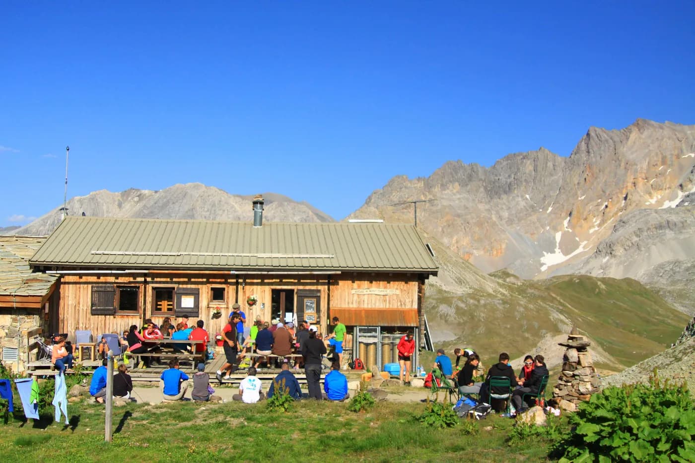
    Refuge du ThaborWith the refuge
    See the refuge page

Other routes in the same category

See the whole category