Skip to content
Compagnie des Refuges Clarée Thabor
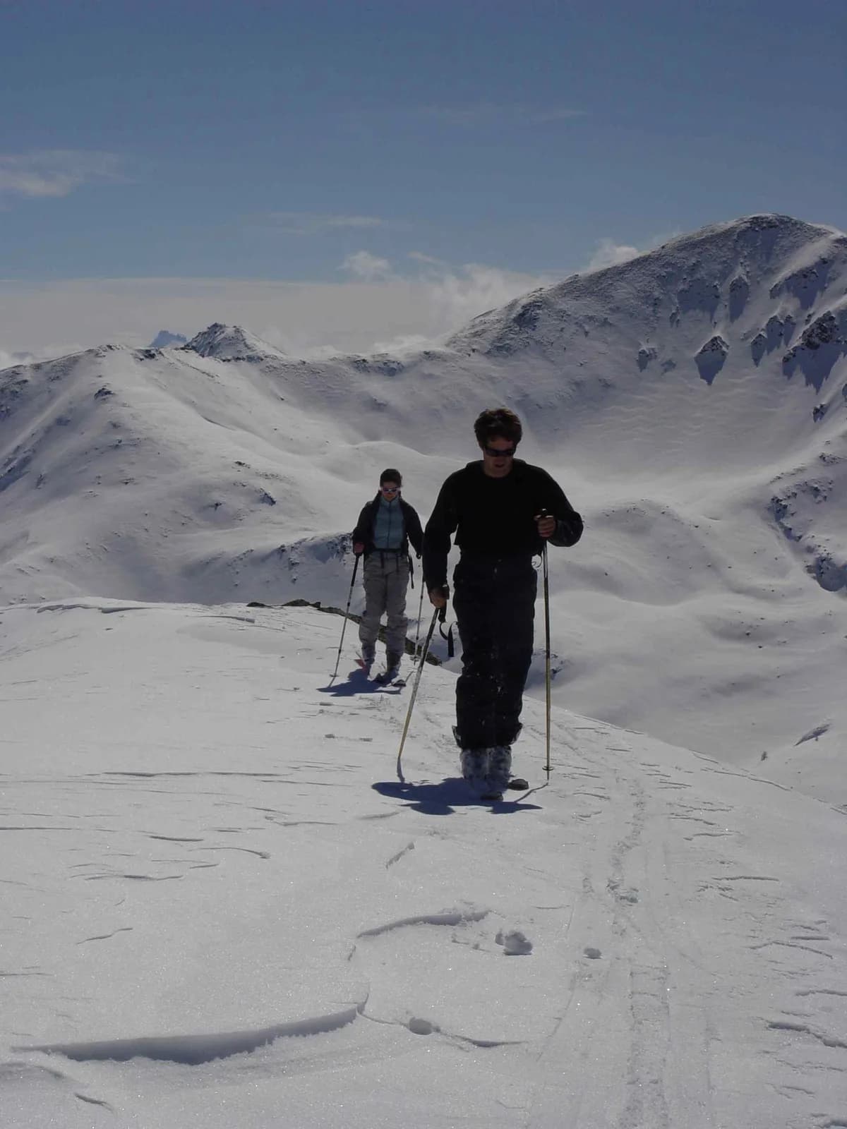
3 days (2 nights): Starting from Valfréjus (Modane) — photo 1
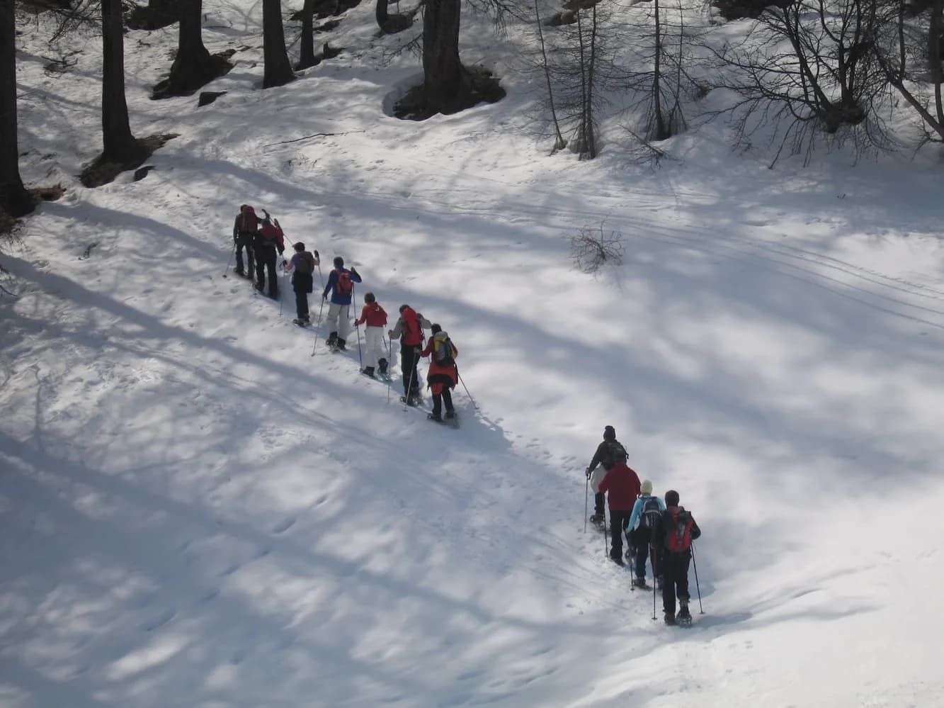
  • 3 days (2 nights): Starting from Valfréjus (Modane) — photo 2
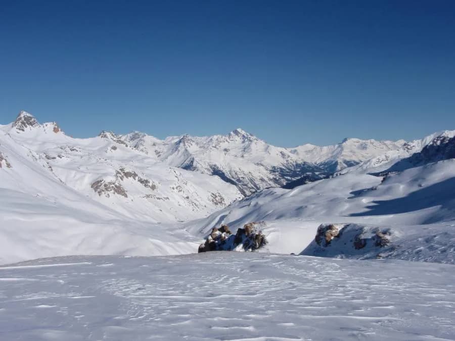
  • 3 days (2 nights): Starting from Valfréjus (Modane) — photo 3
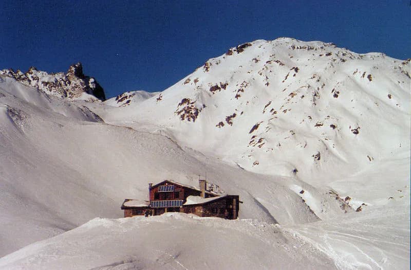
  • 3 days (2 nights): Starting from Valfréjus (Modane) — photo 4
Not yet bookable online3 days · 2 nightsWinter

3 days (2 nights): Starting from Valfréjus (Modane)

Refuge du Mont Thabor and Refuge des Drayères

From Refuge du Mont Thabor to Refuge des Drayères via the Pic du Mont Thabor pass and returning via the Mont Thabor summit (3,178 m)

Duration
3 days · 2 nights
Level
Difficult
Season
in winter
Highest point
3,178 m
Thabor MaurienneStart and finish in ValfréjusGetting to Valfréjus

Route map and profile

Tap a stage to see it on the map and profile.

Whole tour: 2 nights in refuges

Track from camptocamp.org (CC BY-SA) 49777, 1190911, 49162

No elevation profile

The elevation profile is only computed for routes with a complete track.

Refuges along the way

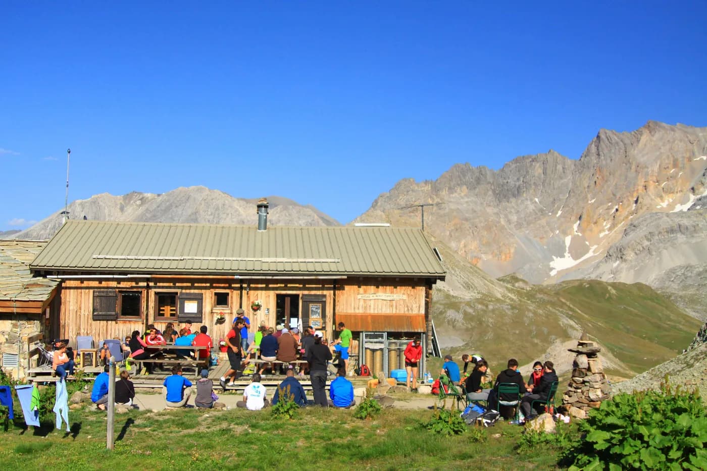
  • Refuge du Thabor
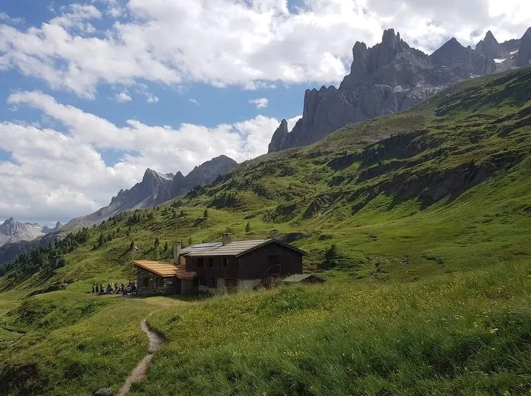
  • Refuge des Drayères

The route, day by day

3 days of walking

Nights in refuges bookable online can also be booked one at a time, from their page; the others, with the refuge.

  1. D1
    Day 1

    Day 1: Ascent to Refuge du Mont Thabor (+900 m)

    7 km

    From the top of the village of Valfréjus (1,640 m), head for Lavoir (1,923 m) along the "Jeu" piste. Turn right to the combe (heading south-west). You will pass the chalets of La Replanette. Just before reaching Col de la Vallée Etroite, head west to Refuge du Mont Thabor (2,502 m). Evening and overnight stay at Refuge du Mont Thabor. Continue towards Col de la Vallée Etroite (2,434 m) following the right bank of the valley. NB: You can take the Val Fréjus ski lifts to the summit of Punta Bagna, then descend the Jeu piste to reach the chalets at Fontaine Froide (2,060 m). From here, cross the ridge to the west of the chalets to return to the route previously described (+500 m).

    Night 1 · tonight's refuge

    Refuge du ThaborWith the refuge
    See the refuge page

  2. D2
    Day 2

    Day 2: Refuge du Mont Thabor to Refuge des Drayères (+580 m/-900 m)

    10 km

    From Refuge du Mont Thabor (2,502 m), head due west towards Col du Cheval Blanc (2,791 m). Follow Cheval Blanc westwards and head for the Pic du Thabor pass (SW) (2,952 m, +450 m). Continuing south-west, head down to Lac des Glaciers (2,663 m, -290 m) and climb back up to Col de Névache (2,794 m, +130 m), then descend to Refuge des Drayères (2,180 m, -610 m) via Lac de la Madeleine. Evening and overnight stay at Refuge des Drayères.

    Night 2 · tonight's refuge

    Refuge des DrayèresWith the refuge

    See the refuge page

  3. D3
    Day 3

    Day 3: From Refuge des Drayères to Valfréjus via the summit of Thabor (+1,260 m/-1,830 m)

    22 km

    From Refuge des Drayères (2,180 m), head E/N-E towards Col des Muandes (2,828 m, +650 m). Descend E towards Lac du Chardonnet until you reach an altitude of 2,650 m (-170 m). Head up to the left to the N to Col de Valmeinier (2,919 m). Follow the N-W face of Roc de Valmeinier. Cross Col de la Chapelle (2,943 m) to finally arrive at Chapelle du Thabor and the summit (3,178 m, +530 m). Make your descent facing S-E towards Col des Méandes (2,727 m), then head E towards Lac du Peyron (2,453 m). Cross Vallon du Peyron to climb back up to Col de la Vallée Etroite (2,434 m) and head back down to Valfréjus (+80 m/-1,660 m).

    Arrival in Valfréjus · end of the tour

    No night to book that evening.

Other routes in the same category

See the whole category