Skip to content
Compagnie des Refuges Clarée Thabor
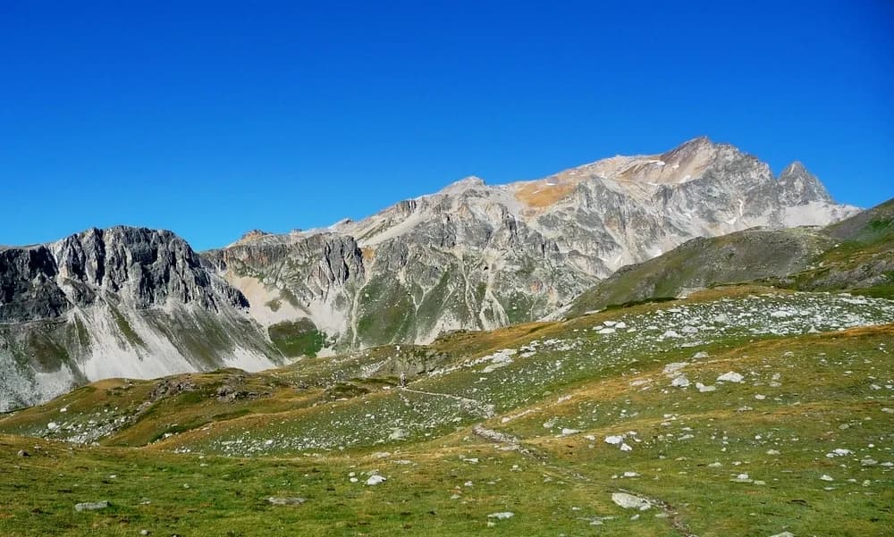
3 days (2 nights): Tour around Roi Mages, starting from Bardonecchia — photo 1
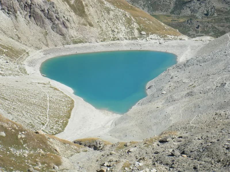
  • 3 days (2 nights): Tour around Roi Mages, starting from Bardonecchia — photo 2
  • 3 days (2 nights): Tour around Roi Mages, starting from Bardonecchia — photo 3
  • 3 days (2 nights): Tour around Roi Mages, starting from Bardonecchia — photo 4
  • 3 days (2 nights): Tour around Roi Mages, starting from Bardonecchia — photo 5
  • 3 days (2 nights): Tour around Roi Mages, starting from Bardonecchia — photo 6
  • 3 days (2 nights): Tour around Roi Mages, starting from Bardonecchia — photo 7
Not yet bookable online3 days · 2 nightsSummer

3 days (2 nights): Tour around Roi Mages, starting from Bardonecchia

Refuge I Re Magi - Refuge Terzo Alpini - Refuge du Mont Thabor

Discovering Melchior, Gaspard and Balthazar along the GR57. An entirely carbon-free trail.

Duration
3 days · 2 nights
Distance
35 km
Elevation gain
+1,600 m
Level
Easy
Season
in summer
Highest point
2,603 m
Susa ValleyStart and finish in Bardonecchia (Italy)Getting to Bardonecchia (Italy)

Route map and profile

Tap a stage to see it on the map and profile.

Whole tour: 35 km · 12 h walking · +1,600 m · 2 nights in refuges

Elevation profileDistance 34.6 kmAscent 1638 m
1300200027000 km34.6 km
Altitude 1308–2603 m

Refuges along the way

  • Refuge I Re Magi
  • Refuge Terzo Alpini
  • Refuge du Thabor

The route, day by day

3 days of walking

Nights in refuges bookable online can also be booked one at a time, from their page; the others, with the refuge.

  1. D1
    Day 1

    From Bardonecchia to Granges de la Vallée Etroite via Pian del Colle

    9 km · 4 h · +560 m · 1312 m → 1760 m

    Starting from Bardonecchia station (1,312 m), take Viale della Vittoria to Campo Smith (ski lifts). From here, take the track on the left of the chairlift towards Pian del Colle - Granges Hyppolites (1,550 m). Then take the track down to the Chapelle du Cognet (with 15th-century frescoes) and continue towards Mélezet as far as the ski lift car park (1,370 m). NB: you can avoid the climb to Pian del Colle by following the Vie du Viò path on the way to Pian de Colle, which also leads to Chapelle du Cognet. This path crosses at the 1400-metre mark. From the Pian del Colle campsite (1,445 m), take the main road and the trail for Vallée Etroite (not shown on the map). This path takes you along the left bank of the stream running through Vallée Etroite. At the bottom of the Paroi des Militaires plateau, at la Bergerie (1,711 m), cross the stream and continue along the path until you reach Granges de la Vallée Etroite (4 hrs).

    There is an alternative route with a greater difference in elevation between Bardonecchia and Vallée Etroite, passing Punta Colomion and Passo della Mulattiera (+1,140 m/-960 m). Starting from Bardonecchia station (1,312 m), take Viale della Vittoria to Campo Smith (ski lifts). From here, take the track on the left of the chairlift towards Pian del Sole - Granges Hyppolites (1,550 m). Then follow the road as far as Punta Colomion (2,054 m) and continue along this military path as far as Passo della Mulattiera (2,412 m) and the Ancien Poste des Acles (2,292 m) to the east of Col des Acles. From here, take the GR5B towards Pian del Colle. Leave the GR route to take the path on the left bank of the Rio Curguas, going down to Granges Guiau (1,832 m) and then Pian del Colle (1,445 m). Cross the main road and, after the Pian del Colle campsite, take the footpath for Vallée Etroite (not shown on the map). This path takes you along the left bank of the stream running through Vallée Etroite. At the bottom of the Paroi des Militaires plateau, at la Bergerie (1,711 m), cross the stream and continue along the path until you reach Granges de la Vallée Etroite (8 hrs 30).

    Night 1 · tonight's refuge
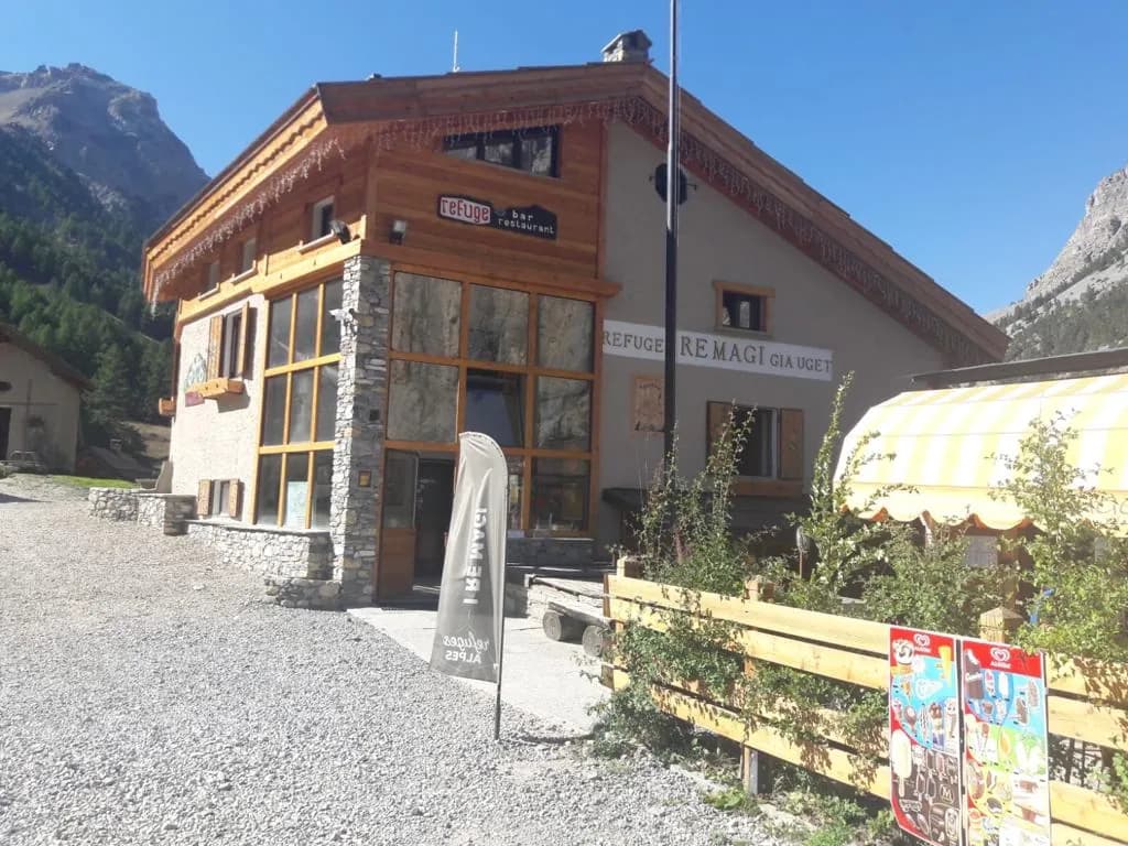
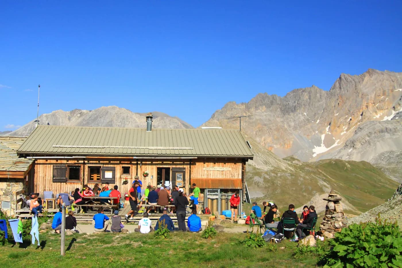
    Refuge I Re MagiWith the refuge

    See the refuge page

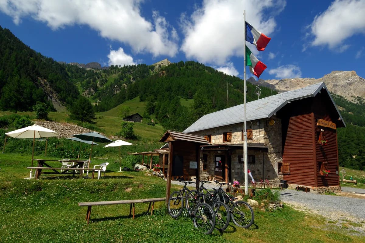
    Refuge Terzo AlpiniWith the refuge

    See the refuge page

  2. D2
    Day 2

    Granges de la Vallée Etroite to Refuge du Mont Thabor

    7 km · 4 h · +740 m · 1760 m → 2500 m

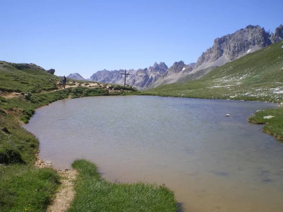
    From Granges de la Vallée Etroite (1,760 m), follow the path to Col de la Vallée Etroite. About a kilometre further on, take the path to the right (heading east) and cross the Vallée Etroite stream. After the bridge, take the path that climbs straight up through the forest and takes 5 minutes to reach a small lake hidden by a few trees at the foot of the Rois Mages which have developed an attractive green hue as a result of algae. From here, you can take the track through the woods heading north to rejoin the main path at Pont de la Fonderie. Continue north to Col de la Vallée Etroite (2,434 m). From the pass, it takes 15 minutes to reach Refuge du Mont Thabor heading north-west (4 hrs).

    Night 2 · tonight's refuge

    Refuge du ThaborWith the refuge

    See the refuge page

  3. D3
    Day 3

    From Refuge du Mont Thabor to Bardonecchia via Col de la Roue

    18 km · 4 h · +300 m · −1,570 m · 2500 m → 1300 m

    Head back to Col de Vallée Etroite (2,434 m). At the pass, take the classic route down from Refuge du Mont Thabor towards Modane along the GR5 (heading north) for 500 metres. Here you will find the GR57A which leads slightly uphill to Col de la Replanette (2,338 m) to the NW. Descend the steep slope into Vallon de Fontaine Froide (2,228 m). Climb the trail that runs steadily up to Col de la Roue (2,541 m) between Gran Bagna and Grand Argentier. Finally, descend to Bardonecchia, 1,300 m (4 hrs). The slope below Col de la Roue is steep for 150 metres and then eases, as the path passes Refuge de la Ruine at 2,131 m.

    Arrival in Bardonecchia (Italy) · end of the tour

    No night to book that evening.

Other routes in the same category

See the whole category