12 km · 4 h · +930 m · −780 m · 1600 m → 1780 m
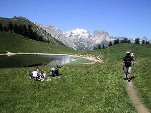
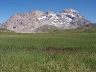
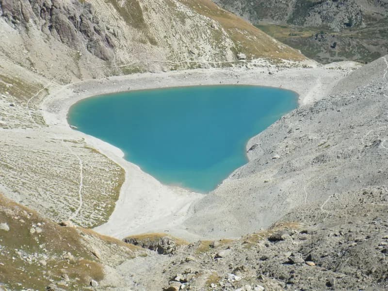
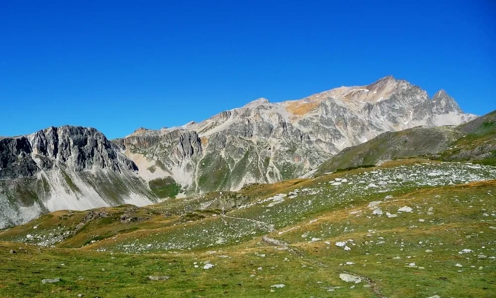
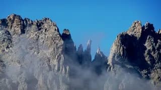
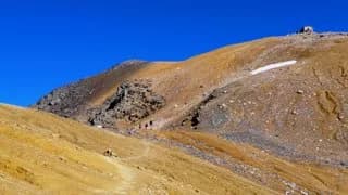
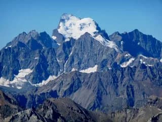
From Névache, head for Sallé and Chapelle des Ames (1,623 m). Follow the GR5-GR57 up the right bank of the Roubion to Chalets des Thures (2,105 m). For Aiguille Rouge (2,545 m), from Chalets des Thures take the path that cuts through the mountain pastures (heading E) to reach the scree slope. From the summit, you can enjoy a superb 360° view of Bardonecchia, Vallée Etroite and Vallée de la Clarée. Follow the same path back down to Chalets des Thures and continue through the beautiful mountain pastures of Vallon des Thures to reach Col des Thures (2,194 m). At the pass you'll find Lac Chavillon, better known as Lac des Thures. Continue on towards Italy to Granges de la Vallée Etroite (1,760 m) along a very pretty, easy and popular path through the forest (4 hrs).
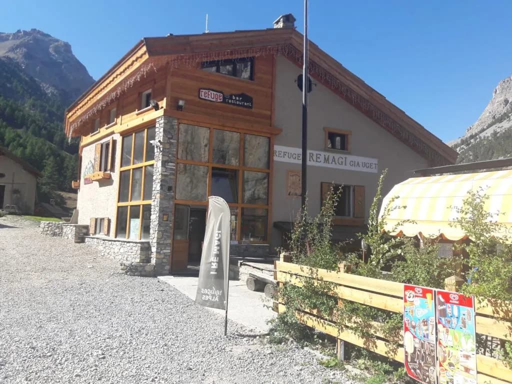
Night 1 · tonight's refuge
Bookable online, one night at a time, from its page. See its places
Bookable online, one night at a time, from its page. See its places