Skip to content
Compagnie des Refuges Clarée Thabor
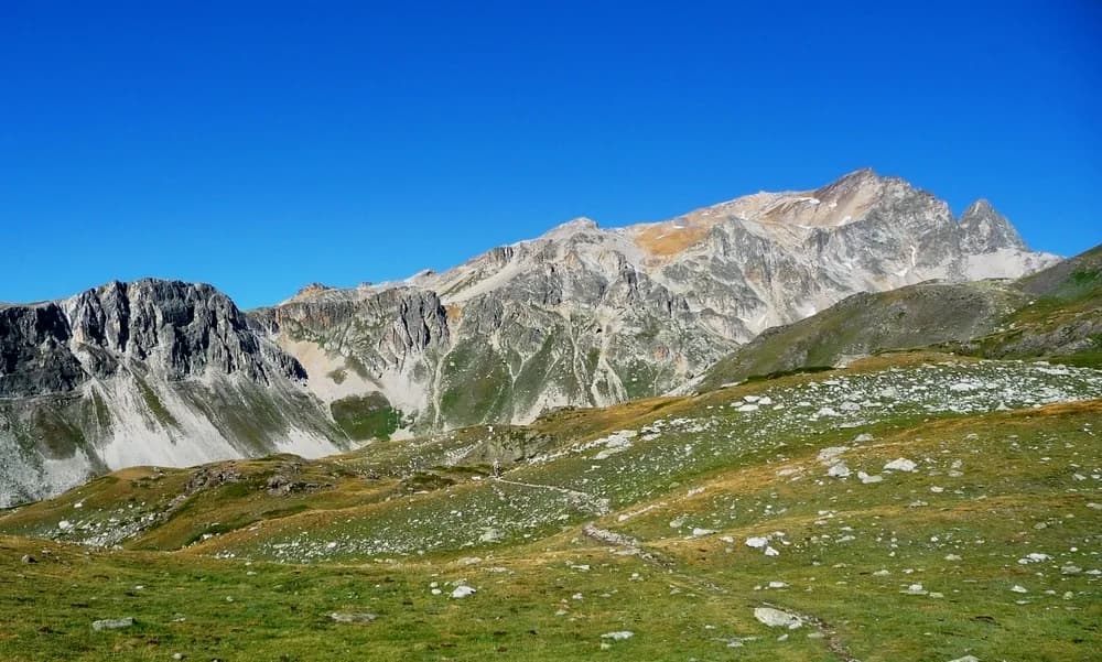
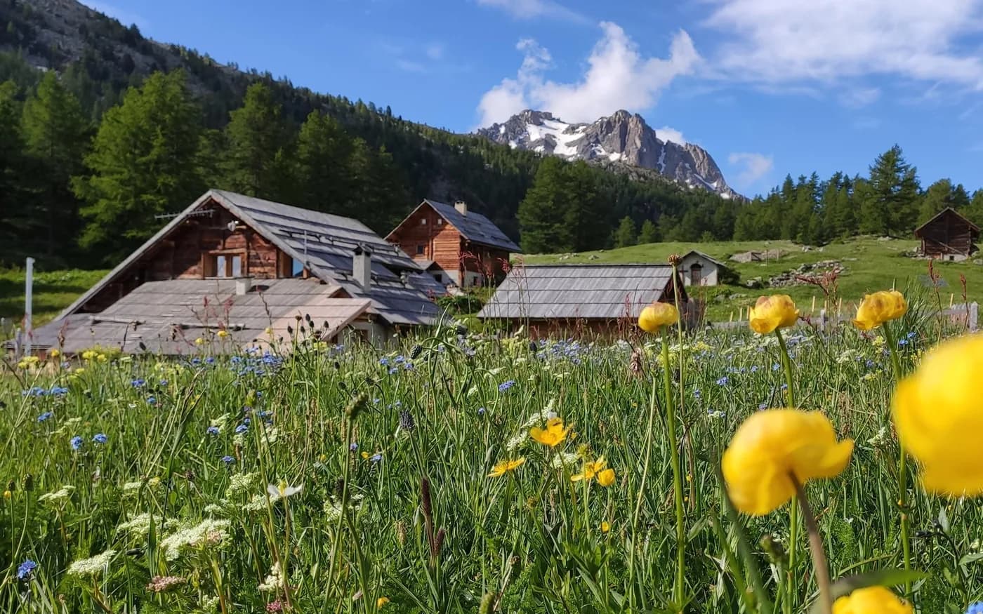
4 days (3 nights): Tour of Haute Clarée, starting from Névache (Ville Basse) — photo 1
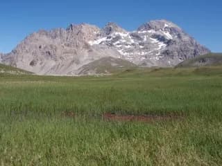
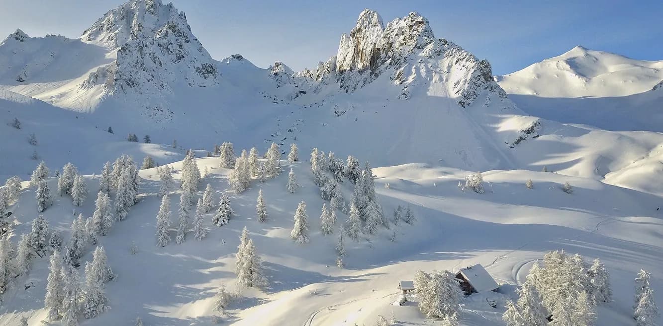
4 days (3 nights): Tour of Haute Clarée, starting from Névache (Ville Basse) — photo 2
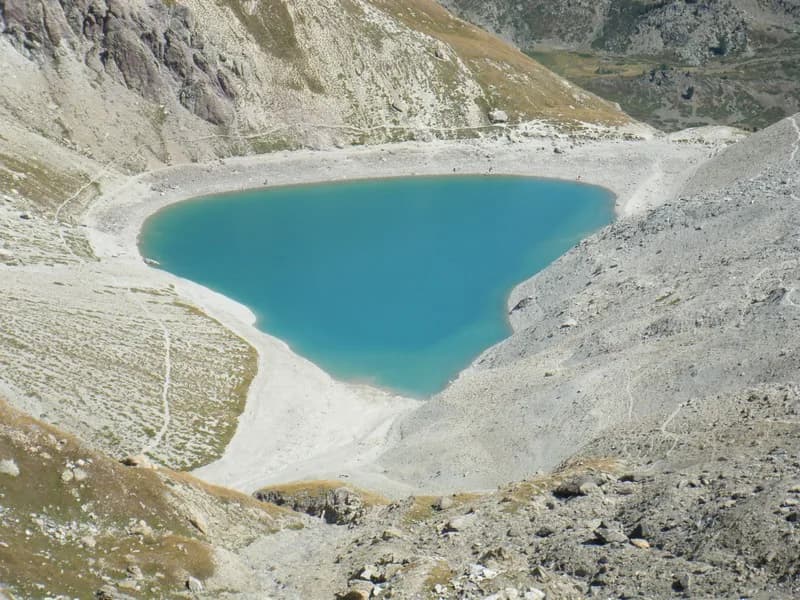
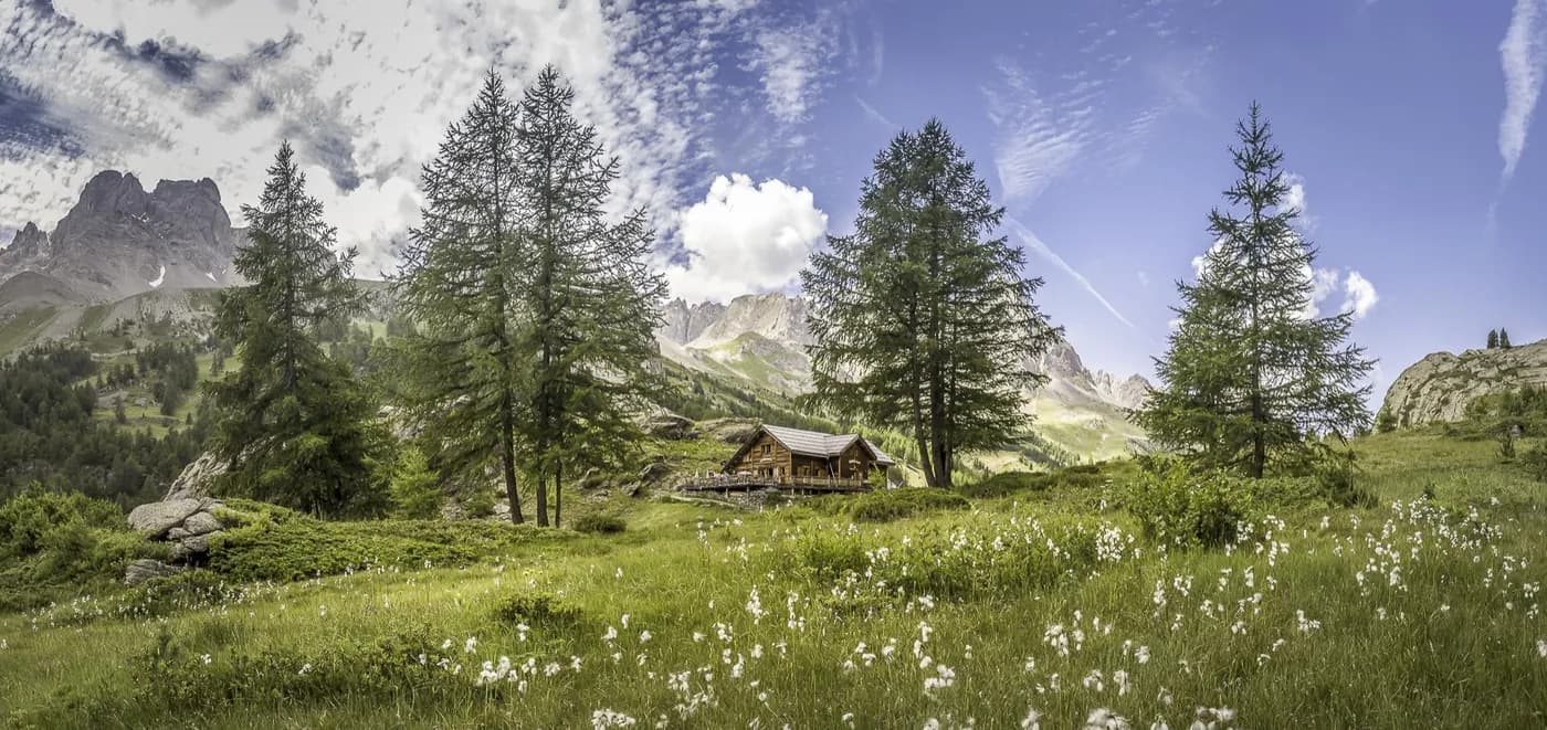
4 days (3 nights): Tour of Haute Clarée, starting from Névache (Ville Basse) — photo 3
4 days (3 nights): Tour of Haute Clarée, starting from Névache (Ville Basse) — photo 4
4 days (3 nights): Tour of Haute Clarée, starting from Névache (Ville Basse) — photo 5

Photo 1 of 5

Bookable online4 days · 3 nightsSummer

All nights in a single booking.

4 days (3 nights): Tour of Haute Clarée, starting from Névache (Ville Basse)

Refuge Buffère - Refuge du Chardonnet - Refuge Laval

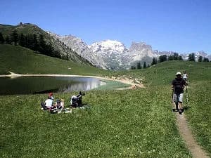
A tour through Haute Clarée on scenic overlooks, passing from lake to lake.

Duration
4 days · 3 nights
Distance
60 km
Elevation gain
+5,050 m
Level
Difficult
Season
in summer
Highest point
2,917 m
ClaréeStart and finish in Névache (Ville Basse)Getting to Névache (Ville Basse)

Route map and profile

Tap a stage to see it on the map and profile.

Whole tour: 60 km · 27 h walking · +5,050 m · −5,015 m · 3 nights in refuges

Elevation profileDistance 60 kmAscent 5,050 m
Altitude 1,586–2,917 m
GPX track

Refuges along the way

  • Refuge Buffère
  • Refuge du Chardonnet
  • Refuge Laval
  • Gîte La Découverte

The route, day by day

4 days of walking

Every evening, a refuge bookable online. The tour is booked in one go: your 3 nights are held together on refuge.camp.

No date chosen

Choose your start: each stage will be dated and the refuges' places will appear.

  1. D1
    Day 1

    From Névache (Ville basse) to Refuge Buffère via Lac de l'Oule and Lac de Cristol

    14 km · 7 h · +1,400 m · −925 m · 1590 m → 2076 m

    Cross the river Clarée on Pont de Fort Ville then follow the GR 57 which takes you to Vallon de l'Oule to enjoy its two lakes. You will reach Col de l'Oule (2,548 m), marked by a large cairn. Follow a ridge path to Col des Cibières (2,350 m) and pass around Croix de la Gardiole (2,750 m) as far as Porte de Cristol (2,483 m). Head down Vallon de Cristol, passing alongside the Cristol lakes. At the junction with Côte Rouge, veer left and follow a scenic path to reach the chalets de Buffère and the refuge (7 hrs).

    Night 1 · tonight's refuge

    Refuge BuffèrePlaces depend on your date
    See the refuge page

  2. D2
    Day 2

    From Refuge Buffère to Refuge du Chardonnet via Grand Area and Col de Roche Noire

    17 km · 7 h · +1,540 m · −1,380 m · 2076 m → 2230 m

    From Refuge Buffère, head up Vallon de Buffère to Col de Buffère (2,427 m). Climb Grand Aréa (2,869 m), to enjoy a breathtaking 360° view, and then take the path along a scenic overlook to Vallon de la Moulette. From here, head up this little valley following the GR57 up and over Col de Roche Noire and back down staying on the GR route until you reach Refuge du Chardonnet.

    Night 2 · tonight's refuge

    Refuge du ChardonnetPlaces depend on your date

    See the refuge page

  3. D3
    Day 3

    From Refuge du Chardonnet to Refuge de Laval via Col des Béraudes

    10 km · 6 h · +840 m · −1,040 m · 2230 m → 2030 m

    On leaving Refuge du Chardonnet, rejoin the GR at the bridge, then follow the path to Col du Chardonnet (2,636 m). At the mine, start your descent by taking the alternative route on the GR, then climb back up to Col de la Ponsonnière. From here, take the path to Col des Béraudes (2,895 m), which includes a tricky stretch at the pass, then continue all the way back down to the Laval car park. From the car park, take the road to reach Refuge Laval.

    Night 3 · tonight's refuge

    Refuge LavalPlaces depend on your date

    See the refuge page

  4. D4
    Day 4

    From Refuge Laval to Névache via Chemin de Ronde, Col du Grand Cros and Vallon

    19 km · 7 h · +1,270 m · −1,670 m · 2030 m → 1590 m

    From Refuge Laval, climb to Chemin de Ronde (2,396 m) and continue via Lac de la Cula to the fork at Lac Laramon. From this point climb up to Lac Laramon. From this point climb up to Lac Laramon and then Lac du Serpent, continuing to Pas du Lac Blanc (2,935 m). Follow the ski touring route (dotted blue on the map) down to Lac Blanc (2,695 m) and cut across the mountain pastures to join the GR and the chalets of Vallon. Return to Névache along the GR.

    Arrival in Névache (Ville Basse) · end of the tour

    No night to book that evening.

Other routes in the same category

See the whole category

Booking on refuge.camp, no account needed.