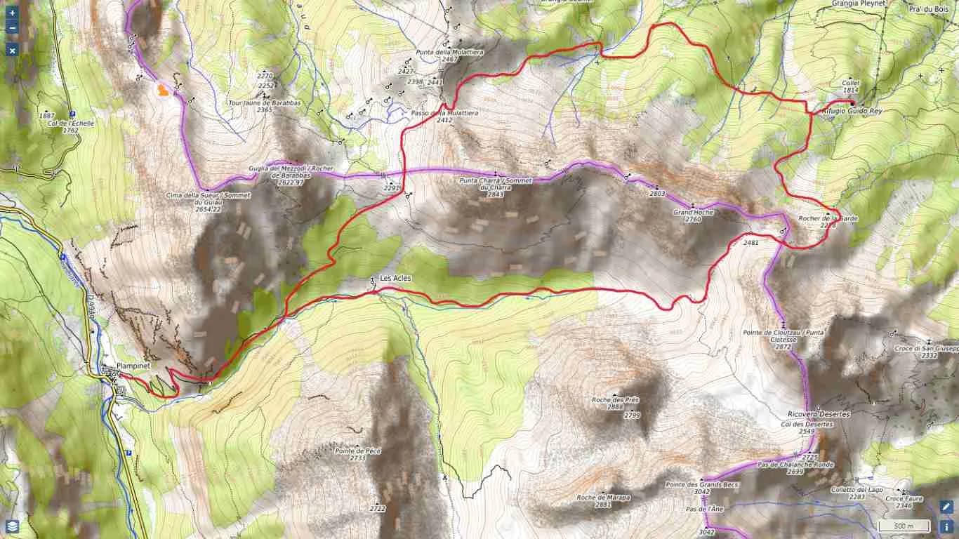
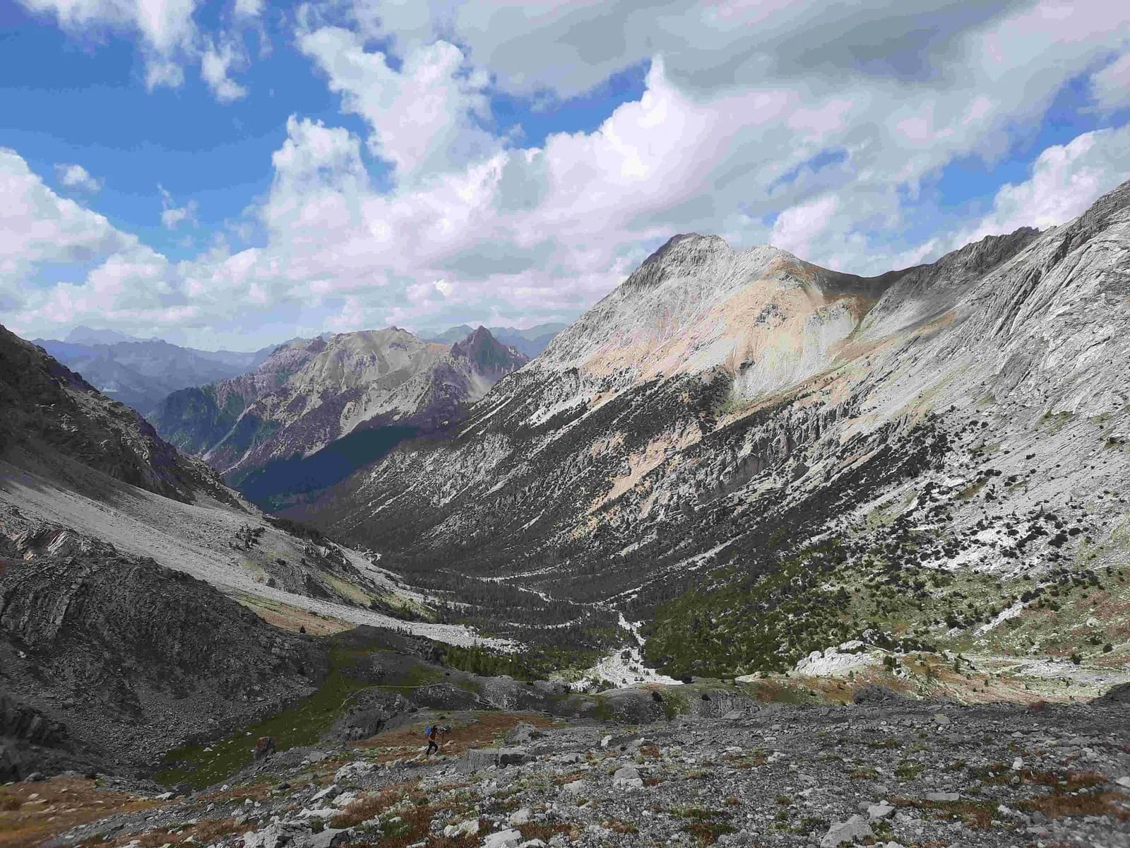
De Plampinet au refuge Rey en passant par le col de la Mulattiera
6 h 30 · 1480 m → 1761 m
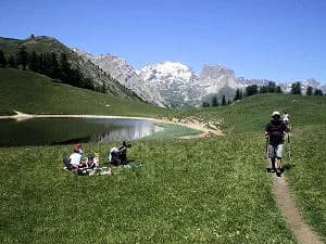
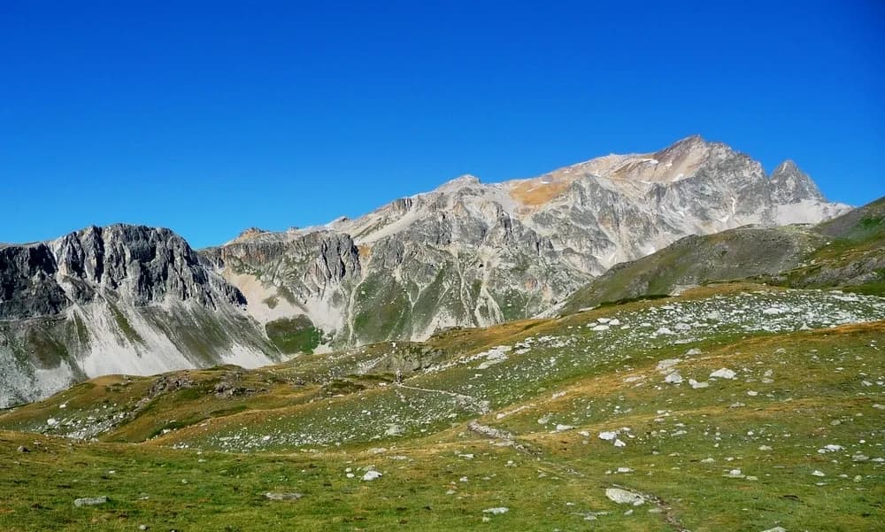
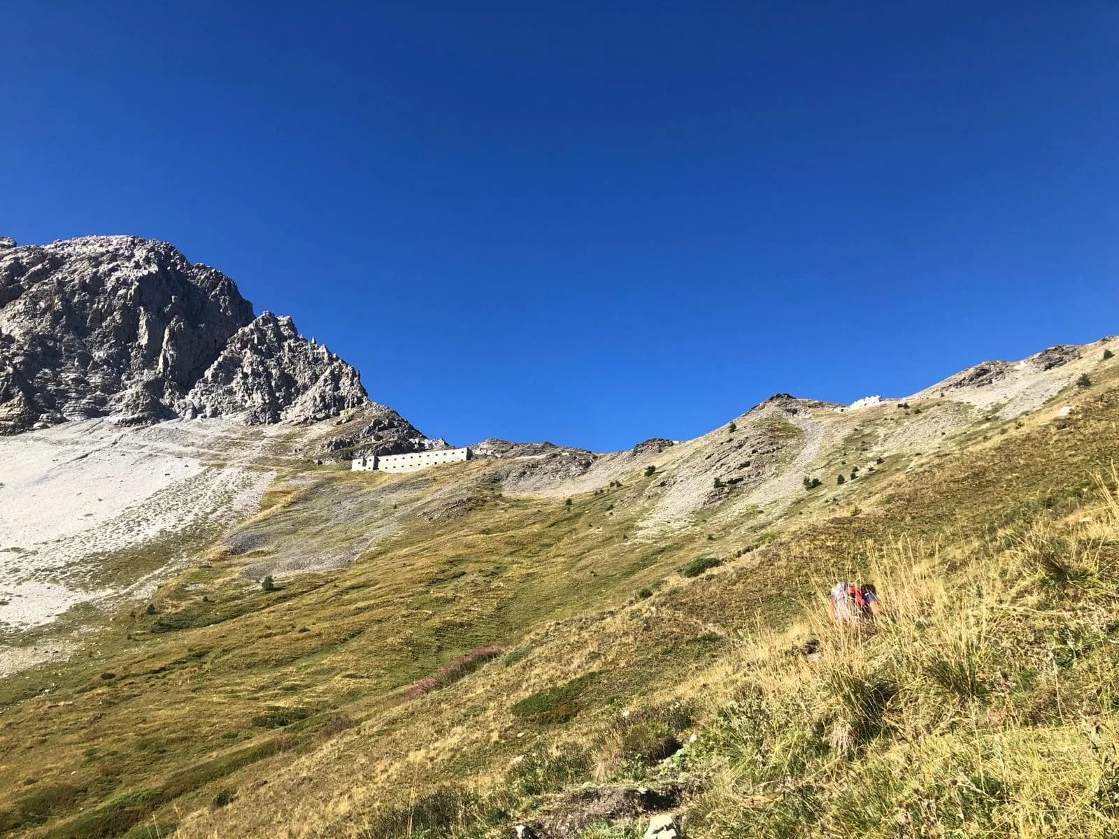
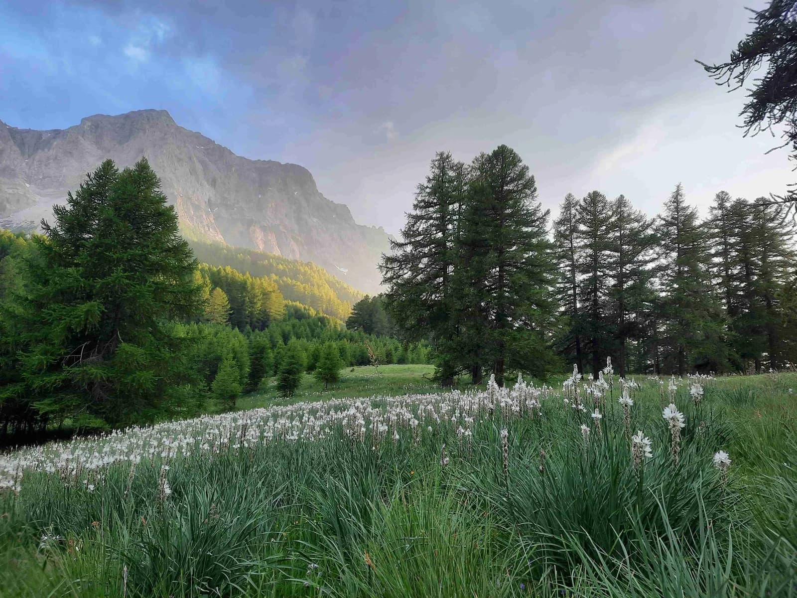
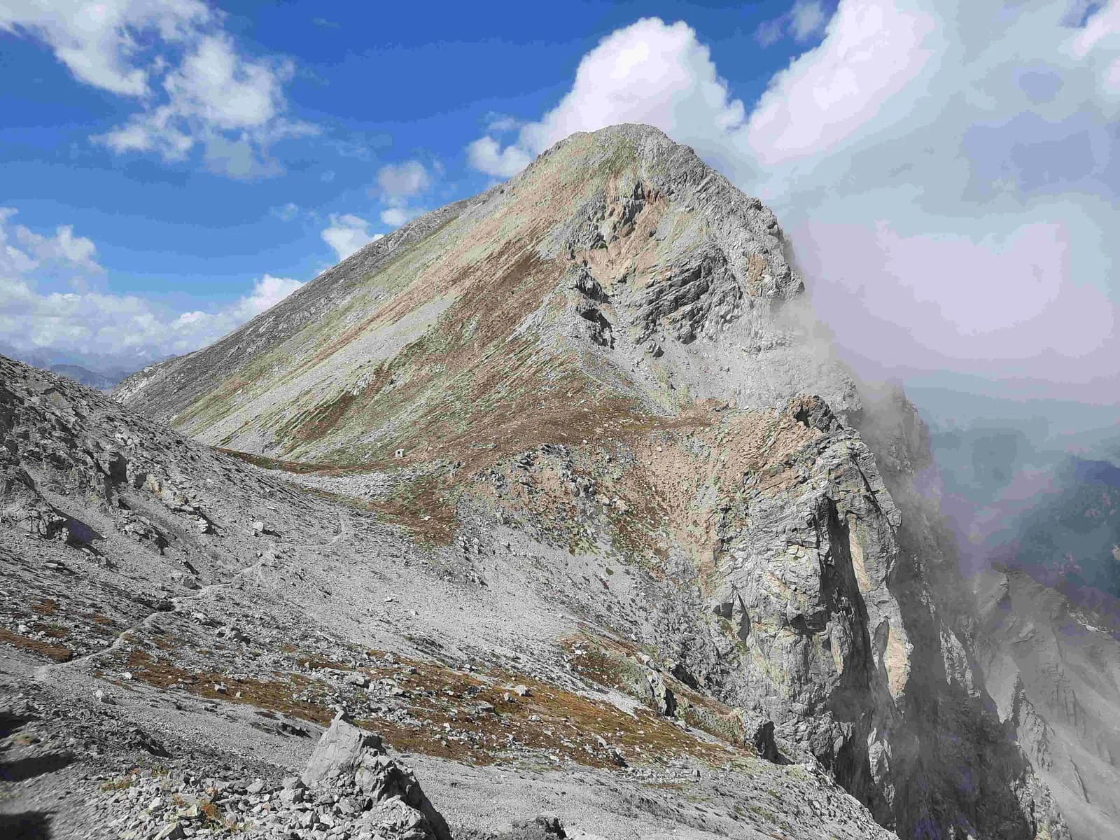
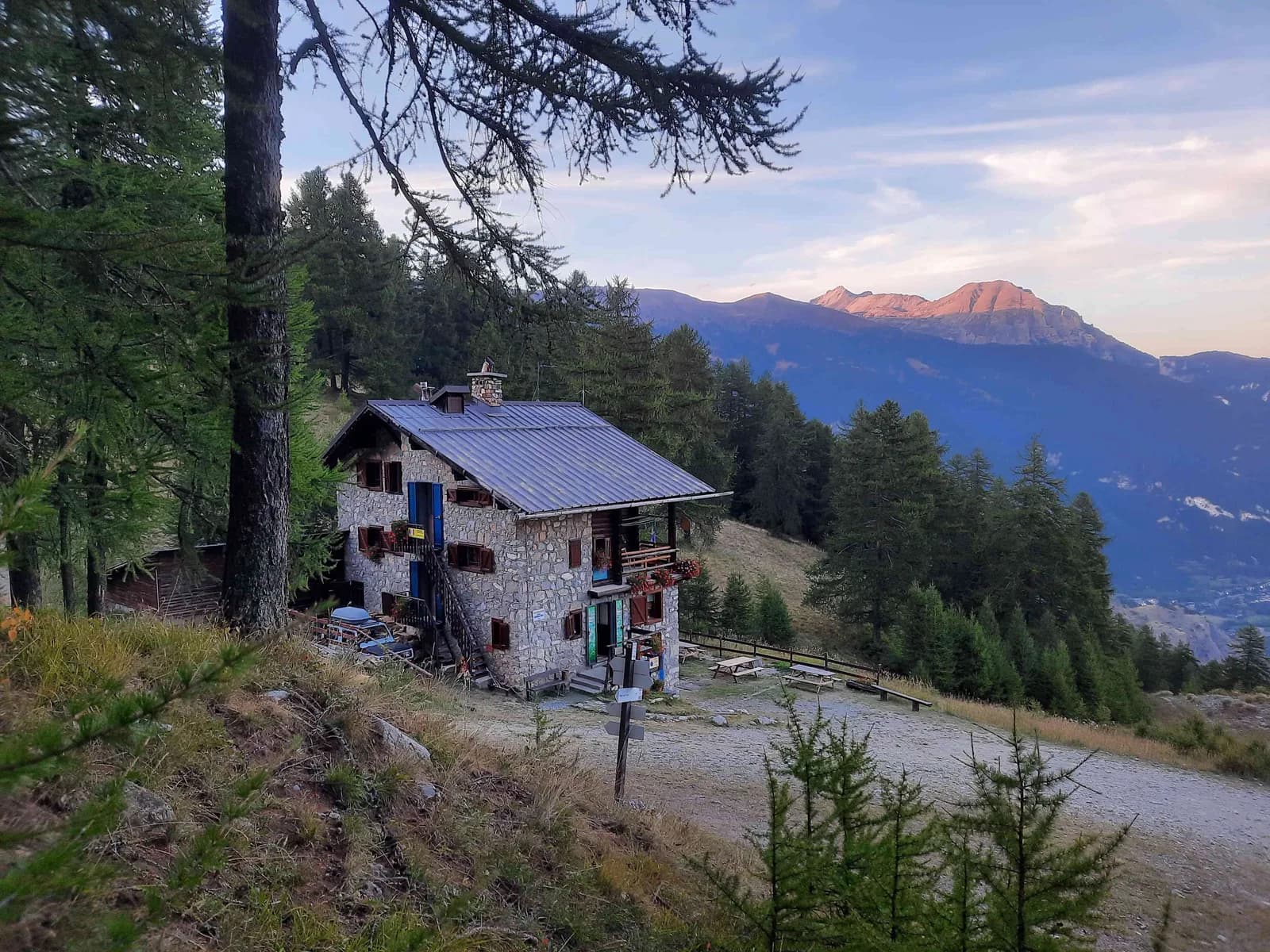
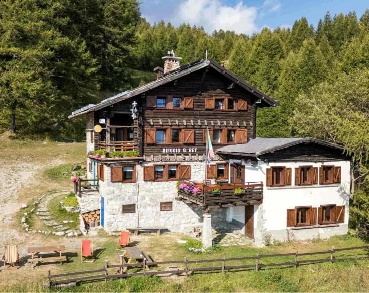
Depuis le hameau de Plampinet (1 480 m) dans la commune de Névache, suivre le chemin de terre (balisage GR5) qui mène vers le vallon des Chalets des Acles; Ne pas les rejoindre mais quitter la route en prenant le sentier qui monte à gauche pour le col des Acles peu après la chapelle Saint-Roch (sentier GR5B). Arrivés presque au col (2 292 m), suivez la large piste légèrement plus haute qui, en traversant la frontière, porte au nord-est au col de la Mulattiera (2 412 m). Du col (non loin de la grande caserne de la Seconde Guerre mondiale) prendre le sentier 705 qui descend vers l’est et suivre les indications pour le refuge Rey, en passant d’abord près de la Chapelle de la Santé (1 920 m), puis à la Chapelle Saint-Juste (1 820 m) et enfin arriver au refuge Guido Rey (1 761 m).
Night 1 · tonight's refuge