Skip to content
Compagnie des Refuges Clarée Thabor
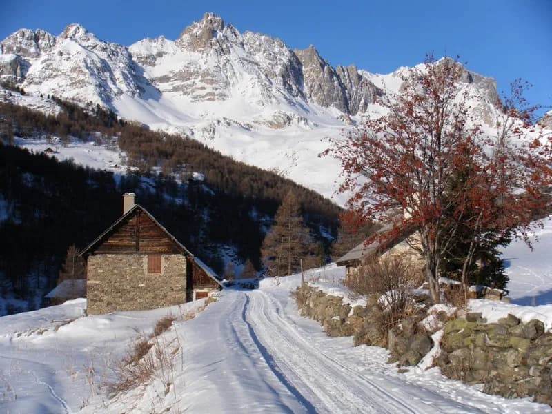
From Bardonecchia to Refuge du Mont Thabor via Col de la Vallée Etroite — photo 1
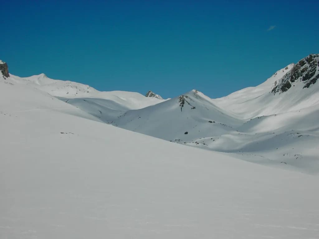
  • From Bardonecchia to Refuge du Mont Thabor via Col de la Vallée Etroite — photo 2
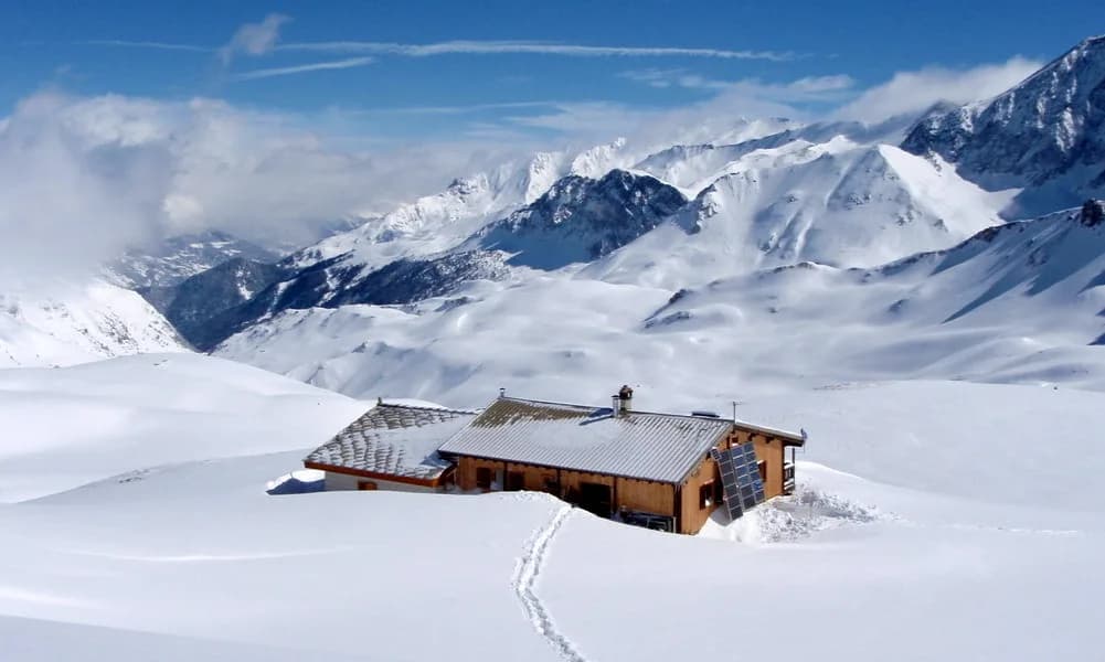
  • From Bardonecchia to Refuge du Mont Thabor via Col de la Vallée Etroite — photo 3
  • From Bardonecchia to Refuge du Mont Thabor via Col de la Vallée Etroite — photo 4
  • From Bardonecchia to Refuge du Mont Thabor via Col de la Vallée Etroite — photo 5
1 day · 1 nightWinter

From Bardonecchia to Refuge du Mont Thabor via Col de la Vallée Etroite

How to reach Refuge du Mont Thabor

Getting to Refuge du Thabor via the most Italian of French valleys

Duration
1 day · 1 night
Elevation gain
+1,060 m
Level
Moderate
Season
in winter
Highest point
2,502 m
Susa ValleyStart : Pian del Colle (Bardonecchia, Italy)Getting to Pian del Colle (Bardonecchia, Italy)

Route map and profile

No track available

No GPS track is available for this route.

Refuges along the way

  • Refuge du Thabor

The route, day by day

1 day of walking

Every evening, a refuge: its page gives its places, its rates and how to book it.

  1. D1
    Day 1

    The ascent to Refuge du Mont Thabor

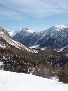
    From Bardonecchia, join Pian del Colle via the road (1,440 m). Put on your skis and head north-west to Granges de la Vallée Etroite (1,760 m, +320 m). Then head up the valley following the track leading to Pont de la Fonderie (1,897 m). Leave the route to Mont Thabor to the west and climb up the gentle slopes of Vallon de Tavernette to reach Col de la Vallée Étroite (2,434 m). Just after the pass, turn left (heading east) towards Refuge du Mont Thabor (2,502 m, +740 m).

    Night 1 · tonight's refuge

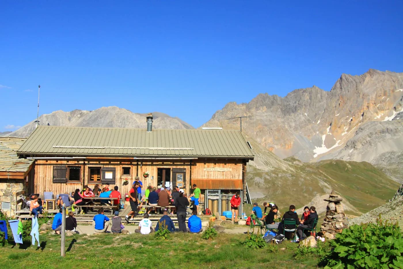
    Refuge du ThaborWith the refuge
    See the refuge page

Other routes in the same category

See the whole category