8 km · 3 h 30 · +520 m · 1170 m → 2115 m
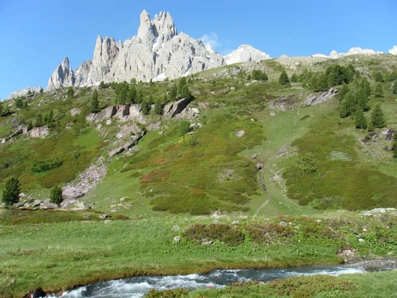
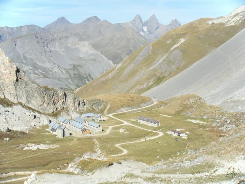
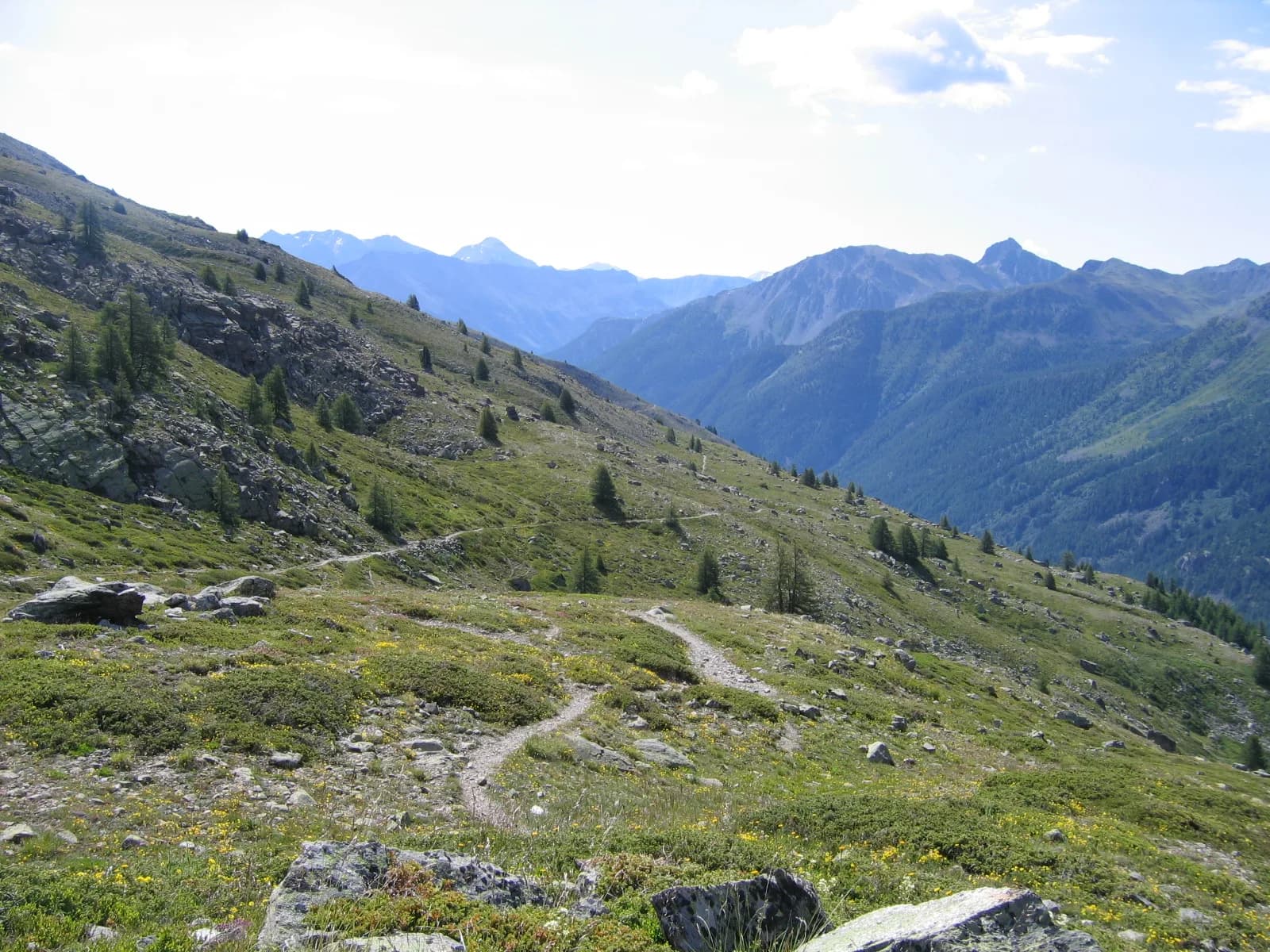
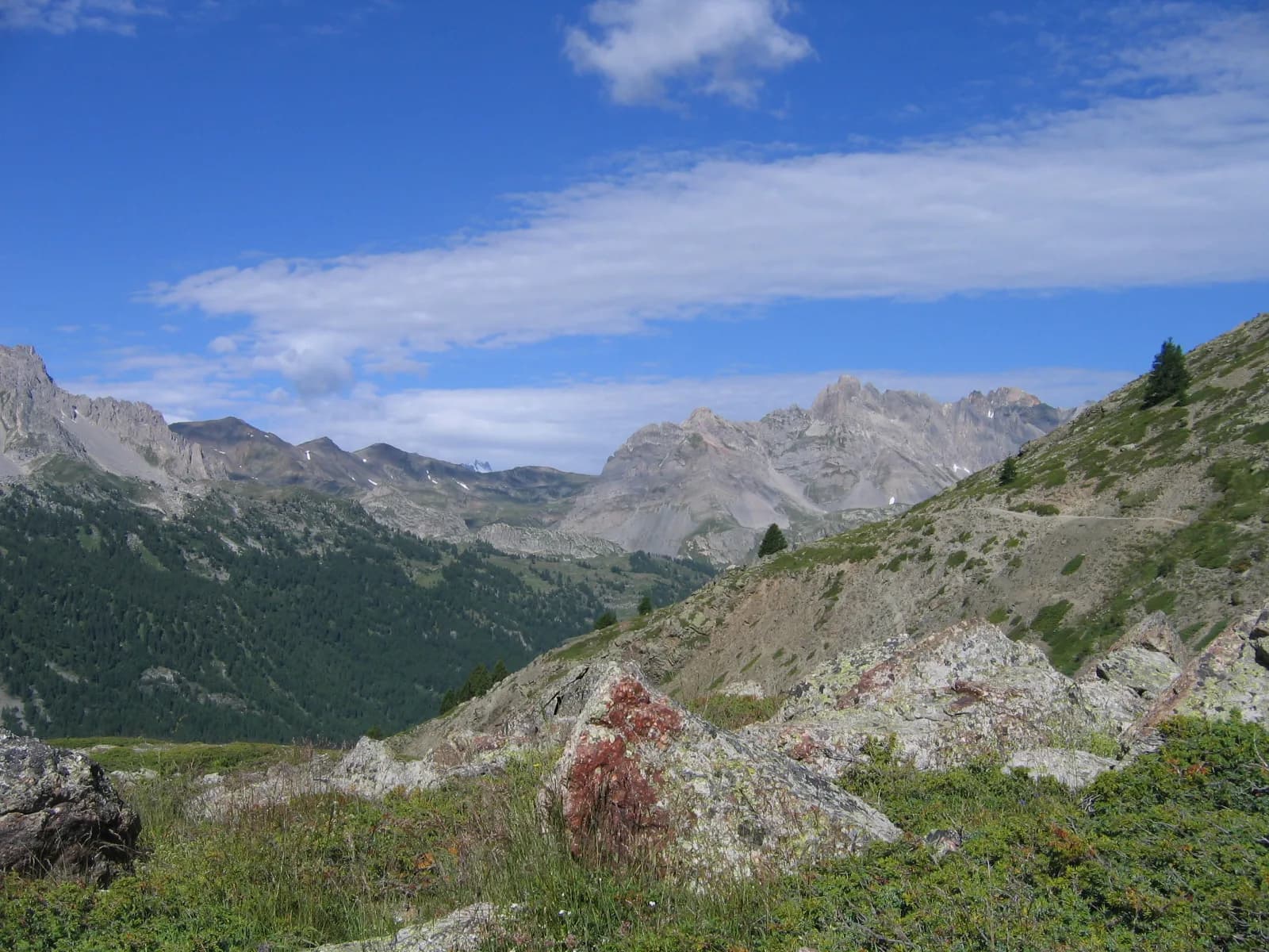
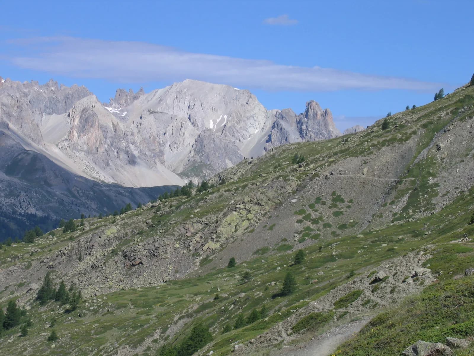
From Lacou, 1 km above Névache, follow a path on the right that passes by Chapelle Sainte-Barbe and leads to the chalets of Biaune. After a few bends, you'll reach an altitude of 2,200 m. From here, it's an easy route to the bottom of the valley. The view opens up to snow-capped peaks including Meije and Pointe des Cerces, Grand Area and Roche-Chateau... At the junction, on the right, you can explore Lac Laramon. For those who wish to enjoy the view, you can walk around the lake or, for the more courageous, make an extra effort to reach Lac Serpent, from where there is a splendid view of the Ecrins massif. From the lakes, head back down to the refuge.
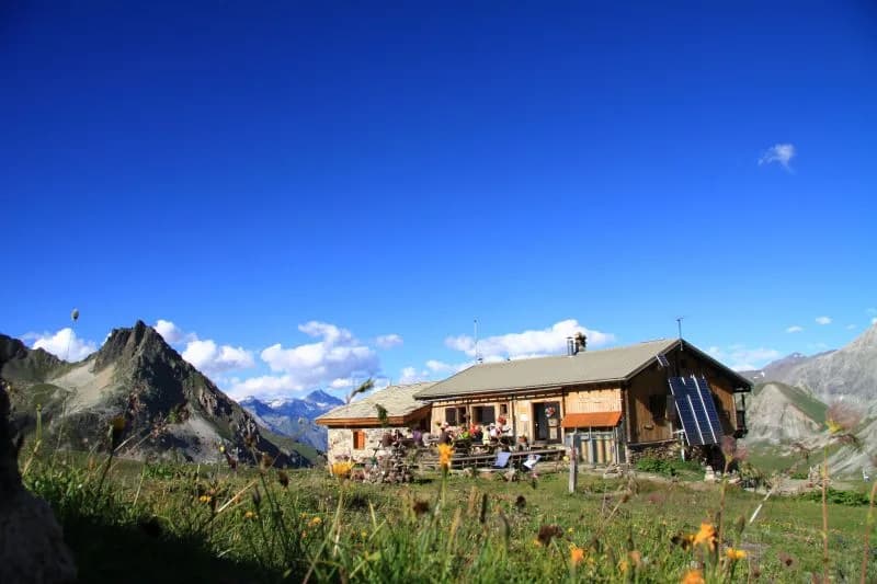
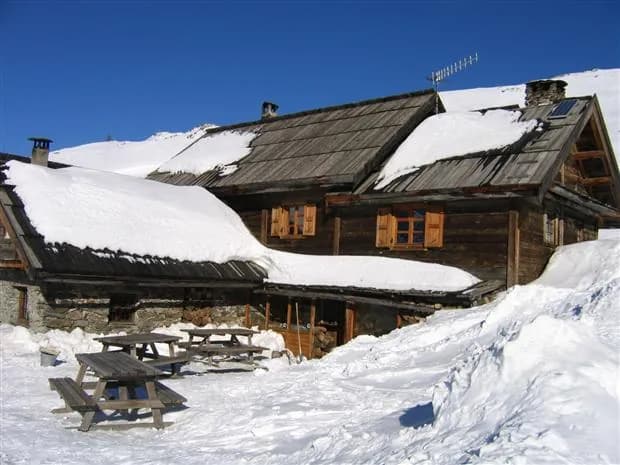
› The Refuge Ricou highlight Petite Tempête (2,973 m) and Grande Tempête (3,002 m) 2 hrs 30 to 3 hrs / + 850 à + 900m From the traditional starting point: Walk up to the lakes, then follow Chemin de Ronde northwards to reach the spot where you cross the mountain stream, just below Lac de la Cula. Then head up to the right (in an easterly direction). Continue up along the base of the valley. You will pass between two small lakes and then reach a clear mountain pass at the foot of the south-eastern ridge of Grande Tempête. This pass leads down to the lakes of Petite Tempête and Lavoir. The summit of Petite Tempête is an easy climb along the ridge to the right (south-east) of the pass (+850 m, 2 hrs 30). Bear left rapidly, aiming for the steep southern slopes of Crête des Muandes. Try to reach the ridge and summit to the right (east) (+900 m, 3 hrs).
Night 1 · tonight's refuge