Skip to content
Compagnie des Refuges Clarée Thabor
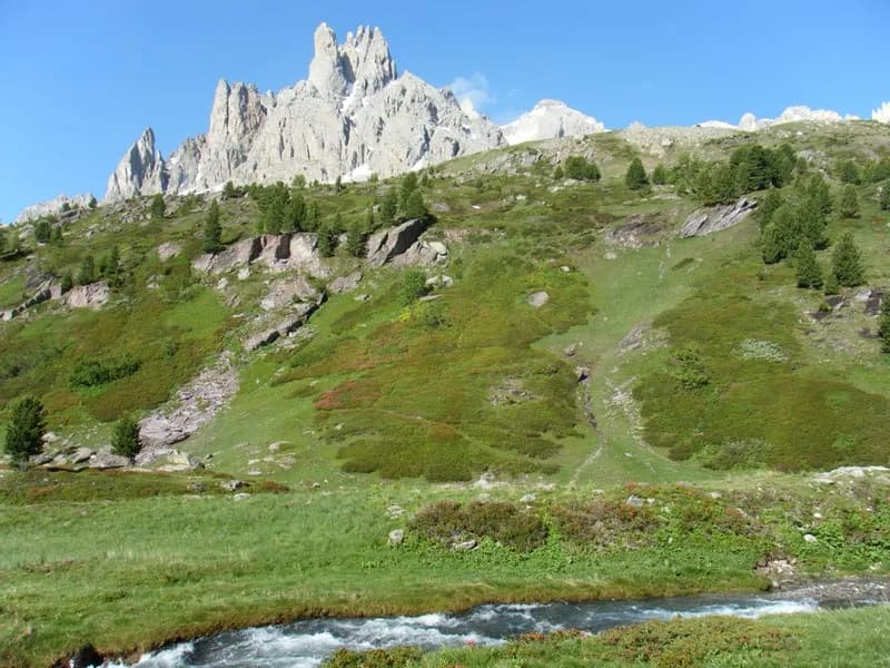
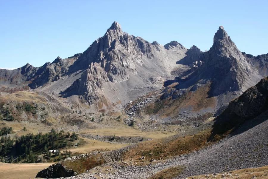
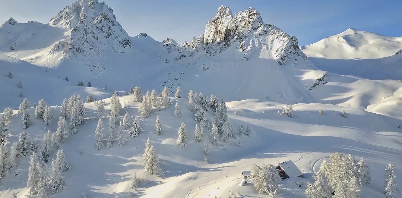
Névache to Refuge du Chardonnet — photo 1
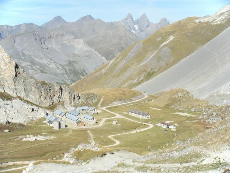
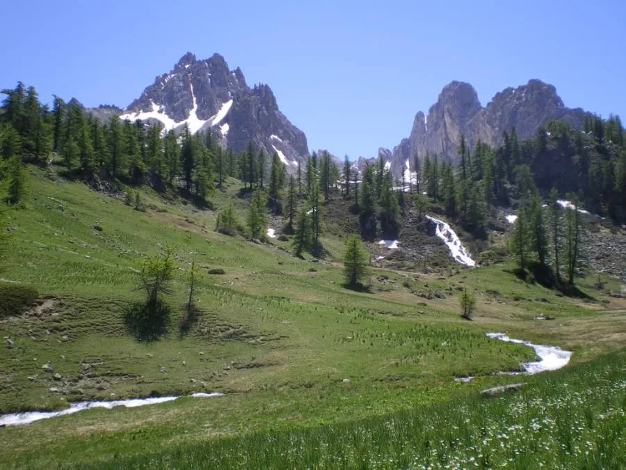
  • Névache to Refuge du Chardonnet — photo 2
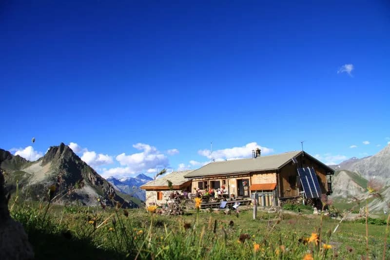
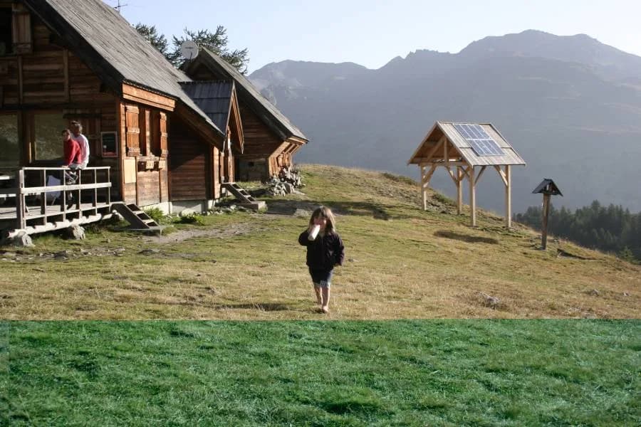
  • Névache to Refuge du Chardonnet — photo 3
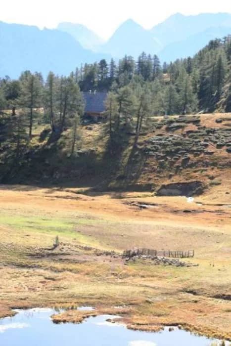
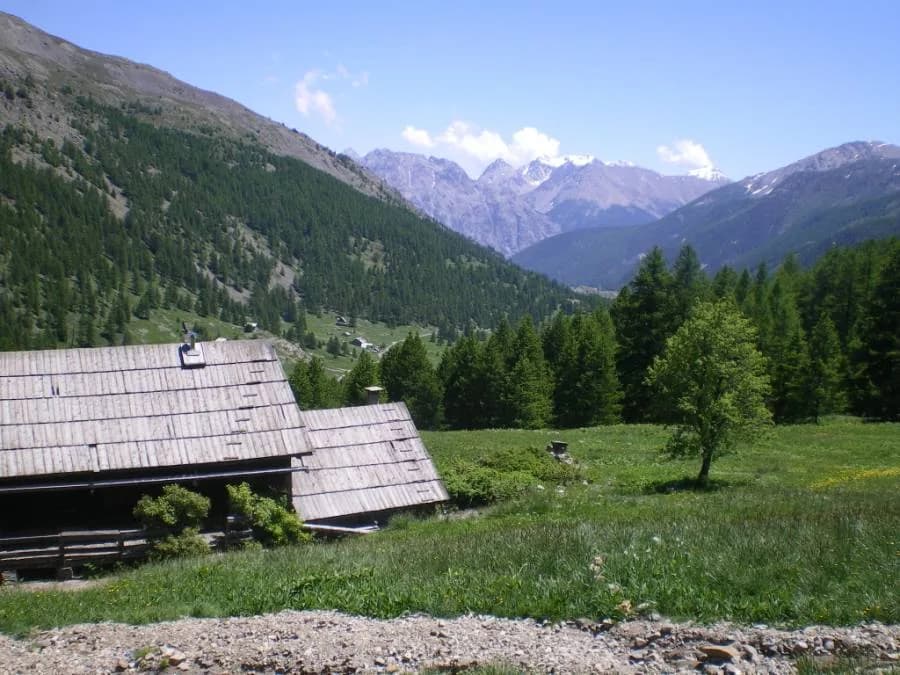
  • Névache to Refuge du Chardonnet — photo 4
  • Névache to Refuge du Chardonnet — photo 5
  • Névache to Refuge du Chardonnet — photo 6
1 day · 1 nightSummer

Névache to Refuge du Chardonnet

How to reach Refuge du Chardonnet

Along the right bank of the river Clarée...

Duration
1 day · 1 night
Distance
8 km
Elevation gain
+630 m
Level
Easy
Season
in summer
Highest point
2,227 m
ClaréeStart : Névache (Ville Haute)Getting to Névache (Ville Haute)

Route map and profile

Tap a stage to see it on the map and profile.

Whole tour: 8 km · 3 h walking · +630 m · 1 night in a refuge

Elevation profileDistance 7.8 kmAscent 915 m
1500190023000 km7.8 km
Altitude 1596–2213 m

Refuges along the way

  • Refuge du Chardonnet

The route, day by day

1 day of walking

Every evening, a refuge: its page gives its places, its rates and how to book it.

  1. D1
    Day 1

    Getting to Refuge du Chardonnet

    8 km · 3 h · +630 m · 1600 m → 2227 m

    From Névache (Ville Haute), turn left after the church and cross the Clarée at Pont de l'Outre. Stay on the right bank of the Clarée until you reach Pont du Rately. Follow the signs for Refuge Buffère as far as the junction. Then, follow the signs for Fontcouverte. About 200 metres after Pont de la Souchère (1,813 m), take the path that climbs to the left (signposted). Continue along this path until you reach the chalets de Larraux (1,954 m), where you join the path coming from Fontcouverte. Keep walking for another 25 minutes on this path to reach the refuge.

    Night 1 · tonight's refuge

    Refuge du ChardonnetWith the refuge

    See the refuge page

Other routes in the same category

See the whole category