Skip to content
Compagnie des Refuges Clarée Thabor
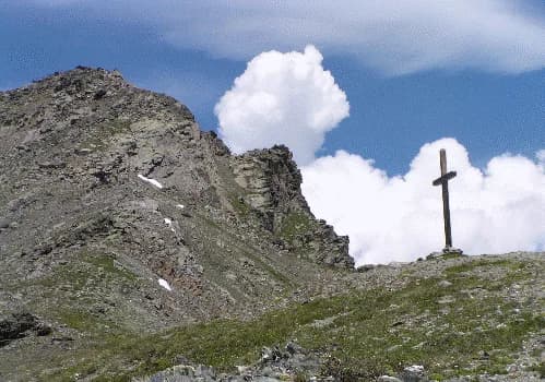
Valmeinier 1800 to Refuge des Marches via Col des Marches — photo 1
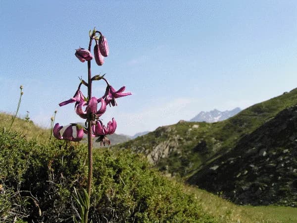
  • Valmeinier 1800 to Refuge des Marches via Col des Marches — photo 2
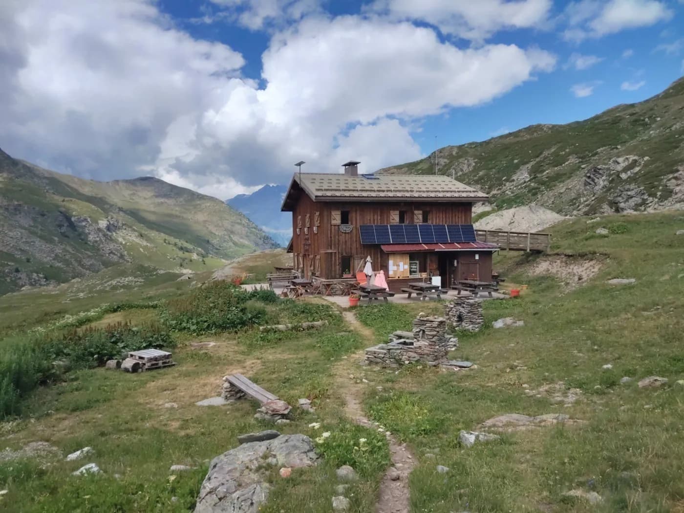
  • Valmeinier 1800 to Refuge des Marches via Col des Marches — photo 3
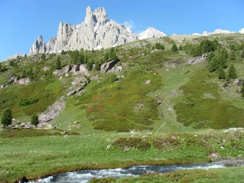
  • Valmeinier 1800 to Refuge des Marches via Col des Marches — photo 4
  • Valmeinier 1800 to Refuge des Marches via Col des Marches — photo 5
1 day · 1 nightSummer

Valmeinier 1800 to Refuge des Marches via Col des Marches

How to reach Refuge des Marches

Overlooking Aiguilles d'Arves and the Ecrins Massif...

Duration
1 day · 1 night
Distance
9 km
Elevation gain
+925 m
Level
Moderate
Season
in summer
Highest point
2,555 m
Thabor MaurienneStart : Valmeinier 1800Getting to Valmeinier 1800

Route map and profile

Tap a stage to see it on the map and profile.

Whole tour: 9 km · +925 m · −500 m · 1 night in a refuge

Elevation profileDistance 8.6 kmAscent 802 m
1700215026000 km8.6 km
Altitude 1772–2555 m

Refuges along the way

  • Refuge des Marches

The route, day by day

1 day of walking

Every evening, a refuge: its page gives its places, its rates and how to book it.

  1. D1
    Day 1

    Ascent to Refuge des Marches

    9 km · +925 m · −500 m · 1800 m → 2230 m

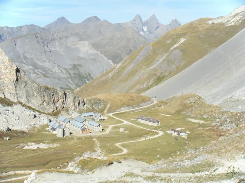
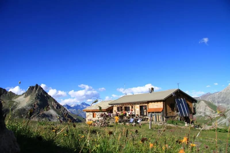
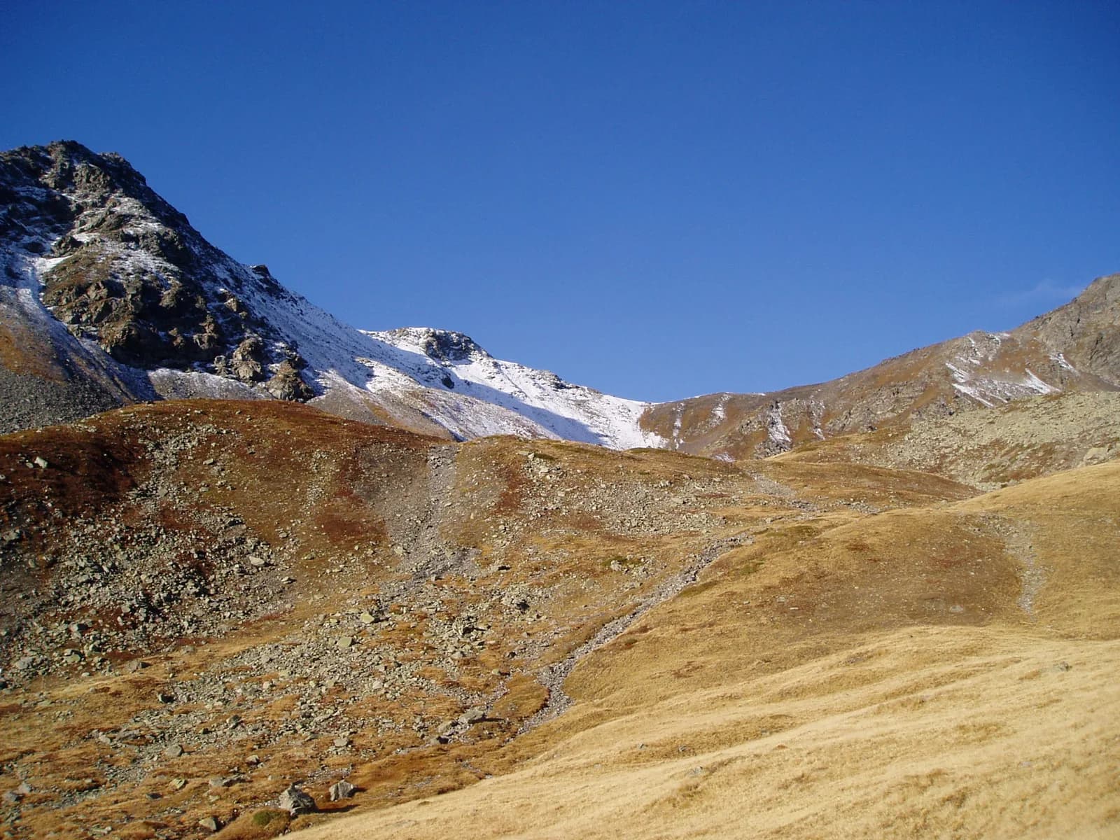
    At Valmeinier 1800, take the path that crosses the resort's ski slopes and head towards Inversins. Follow the path up the valley and cross the Marches stream at 2,213 m. Continue to climb towards the pass through increasingly shorter sections, until you reach Col des Marches (2,725 m). Head north-east down the pass for 400 metres, then follow the path in the middle of the valley. At Pont des Marches, leave the route for Lac de Bissorte on your left and climb up alongside the stream to reach the refuge.

    Night 1 · tonight's refuge

    Refuge des MarchesWith the refuge
    See the refuge page

Other routes in the same category

See the whole category