Skip to content
Compagnie des Refuges Clarée Thabor
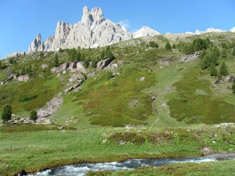
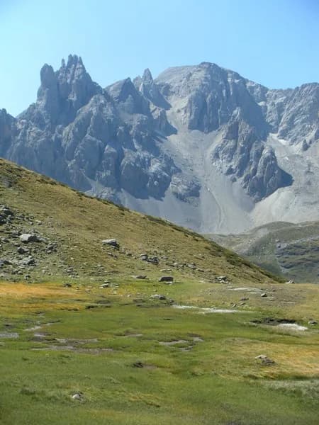
Pont de l'Alpe to Refuge du Chardonnet via Col du Chardonnet — photo 1
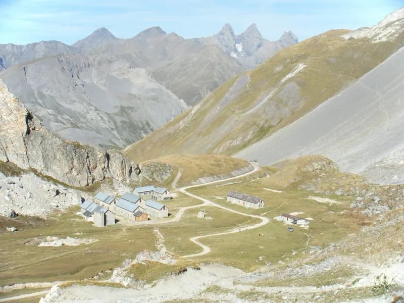
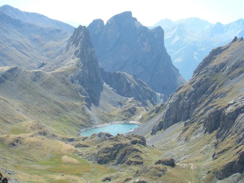
  • Pont de l'Alpe to Refuge du Chardonnet via Col du Chardonnet — photo 2
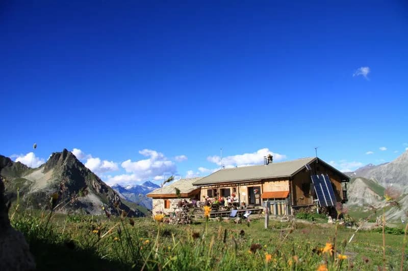
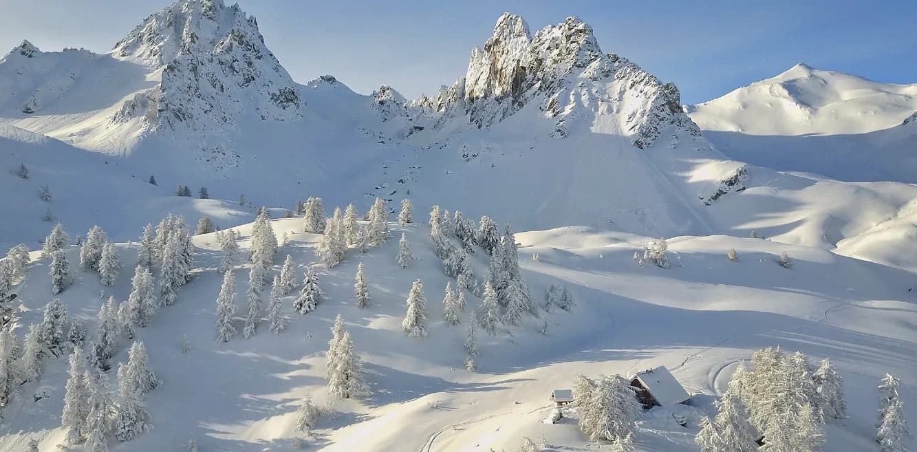
  • Pont de l'Alpe to Refuge du Chardonnet via Col du Chardonnet — photo 3
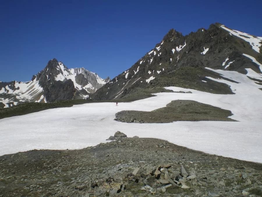
  • Pont de l'Alpe to Refuge du Chardonnet via Col du Chardonnet — photo 4
1 day · 1 nightSummer

Pont de l'Alpe to Refuge du Chardonnet via Col du Chardonnet

How to reach Refuge du Chardonnet

The main gateway to the upper Clarée valley from Vallée de la Guisane.

Duration
1 day · 1 night
Distance
9 km
Elevation gain
+900 m
Level
Moderate
Season
in summer
Highest point
2,557 m
ClaréeStart : Pont de l'AlpeGetting to Pont de l'Alpe

Route map and profile

Tap a stage to see it on the map and profile.

Whole tour: 9 km · 4 h walking · +900 m · −400 m · 1 night in a refuge

Elevation profileDistance 8.6 kmAscent 952 m
1700215026000 km8.6 km
Altitude 1721–2557 m

Refuges along the way

  • Refuge du Chardonnet

The route, day by day

1 day of walking

Every evening, a refuge: its page gives its places, its rates and how to book it.

  1. D1
    Day 1

    Ascent to Refuge du Chardonnet

    9 km · 4 h · +900 m · −400 m · 1710 m → 2227 m

    From Pont de l'Alpe (1,710 m), take the track to the chalets de l'Alpe du Lauzet. Leave the track and pick up the GR57 to an altitude of 2,209 m (on the map), then start the steep climb to Col du Chardonnet (3 hrs). From the pass, the descent to the refuge is well signposted (1 hr).

    Night 1 · tonight's refuge

    Refuge du ChardonnetWith the refuge

    See the refuge page

Other routes in the same category

See the whole category