Skip to content
Compagnie des Refuges Clarée Thabor
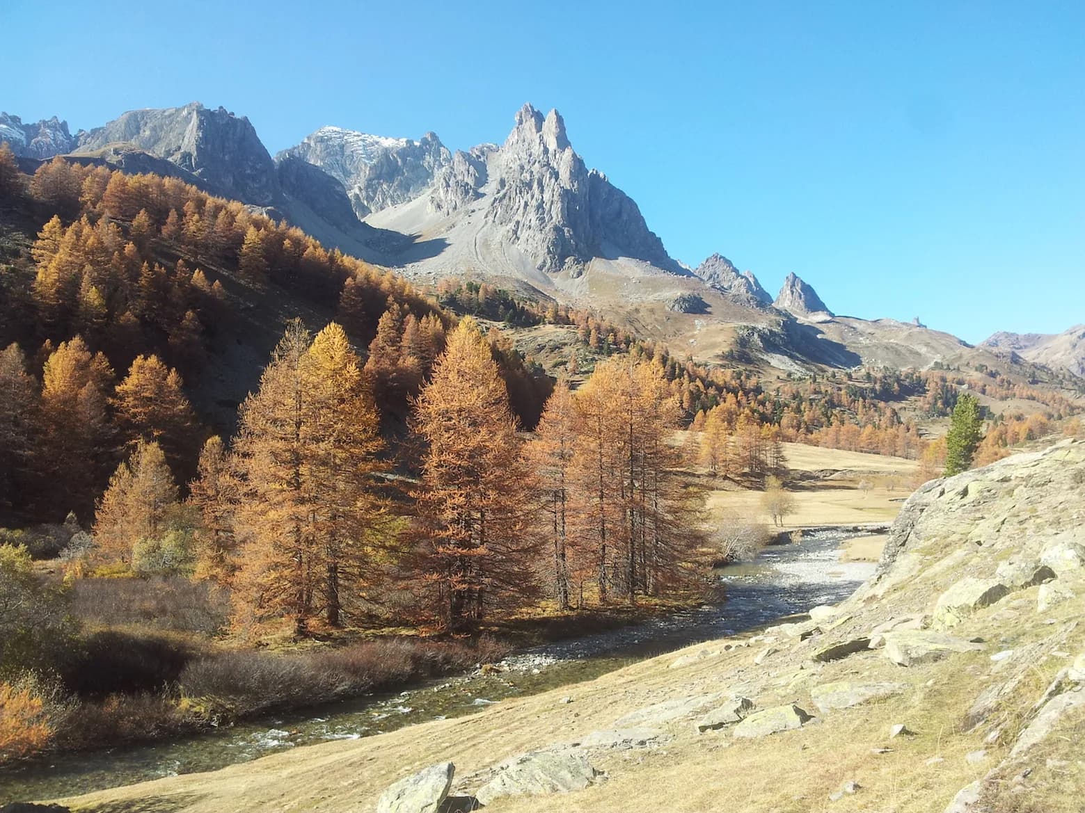
Col du Vallon (2,645 m) — photo 1
  • Col du Vallon (2,645 m) — photo 2
  • Col du Vallon (2,645 m) — photo 3
1 daySummer

Col du Vallon (2,645 m)

From the refuges of La Vallée Etroite, I Re Magi and Terzo Alpini

A beautiful hike, in a rugged setting on the upper slopes.

Duration
1 day
Distance
6 km
Elevation gain
+885 m
Level
Easy
Season
in summer
Highest point
2,654 m
Vallée ÉtroiteStart : I Re Magi and Terzo Alpini refuges (Vallée Étroite)Getting to I Re Magi and Terzo Alpini refuges (Vallée Étroite)

Route map and profile

Tap a stage to see it on the map and profile.

Whole tour: 6 km · 2 h 30 walking · +885 m

Elevation profileDistance 6 kmAscent 974 m
1700220027000 km6 km
Altitude 1770–2654 m

Refuges along the way

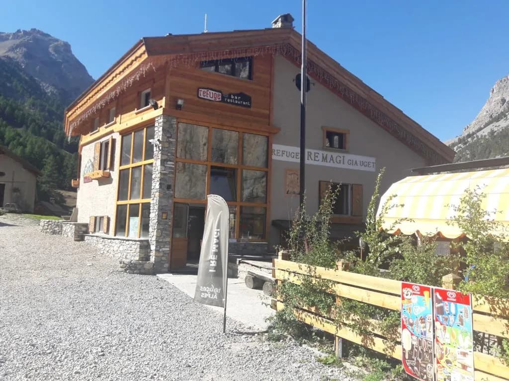
  • Refuge I Re Magi
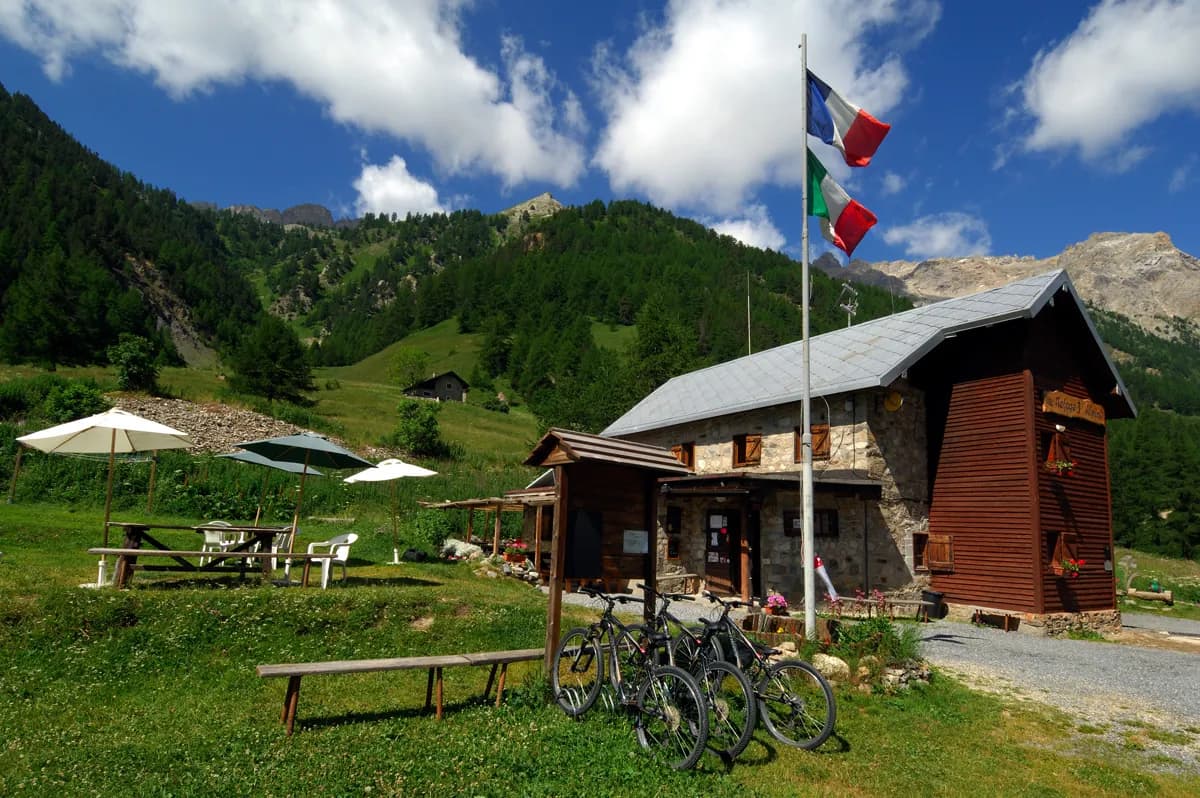
  • Refuge Terzo Alpini

The route, day by day

1 day of walking

  1. D1
    Day 1

    From the refuges of La Vallée Etroite, I Re Magi and Terzo Alpini

    6 km · 2 h 30 · +885 m · 1760 m → 2645 m

    From Granges de la Vallée Etroite (1,760 m) follow the track to Pont de la Fonderie (1,897 m), or take the path to the right of the track. Just before the bridge, bear left, heading east, towards Maison des Chamois. Climb the steeper track. Before Maison des Chamois, take a path on the left up a very steep grassy slope and cross to the other side. A final flatter grassy section leads to the first boulders of the huge scree slope that leads to Col du Vallon (2,645 m). The path winds through the rocks (cairns).

    Refuge I Re MagiWith the refuge

    See the refuge page

    Refuge Terzo AlpiniWith the refuge

    See the refuge page

Other routes in the same category

See the whole category