Skip to content
Compagnie des Refuges Clarée Thabor
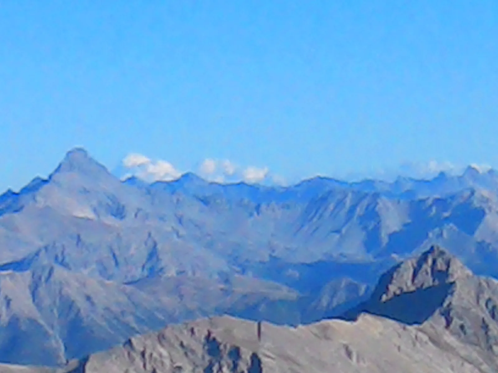
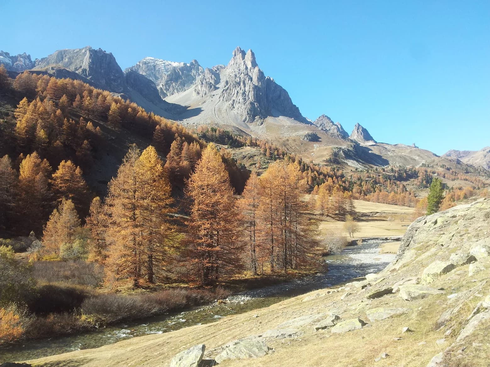
from Refuge des Marches — photo 1
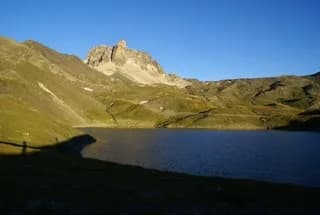
  • from Refuge des Marches — photo 2
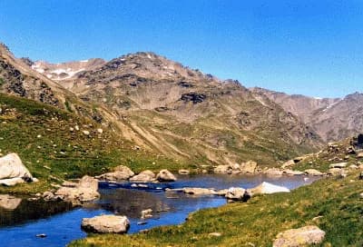
  • from Refuge des Marches — photo 3
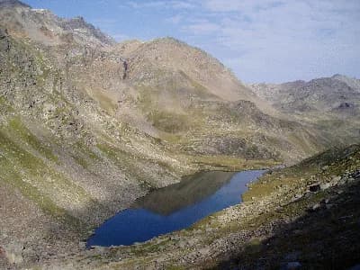
  • from Refuge des Marches — photo 4
  • from Refuge des Marches — photo 5
  • from Refuge des Marches — photo 6
1 daySummer

from Refuge des Marches

The lake trail…

The lakes trail...

Duration
1 day
Elevation gain
+200 m
Level
Easy
Season
in summer
Highest point
2,422 m
Thabor MaurienneStart : Marches refugeGetting to Marches refuge

Route map and profile

No track available

No GPS track is available for this route.

Refuges along the way

  • Refuge des Marches

The route, day by day

1 day of walking

  1. D1
    Day 1

    from Refuge des Marches

    2230 m → 2422 m

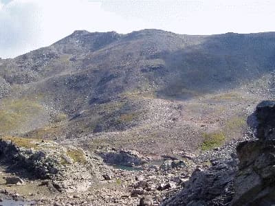
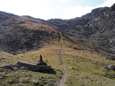
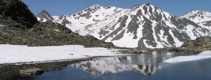
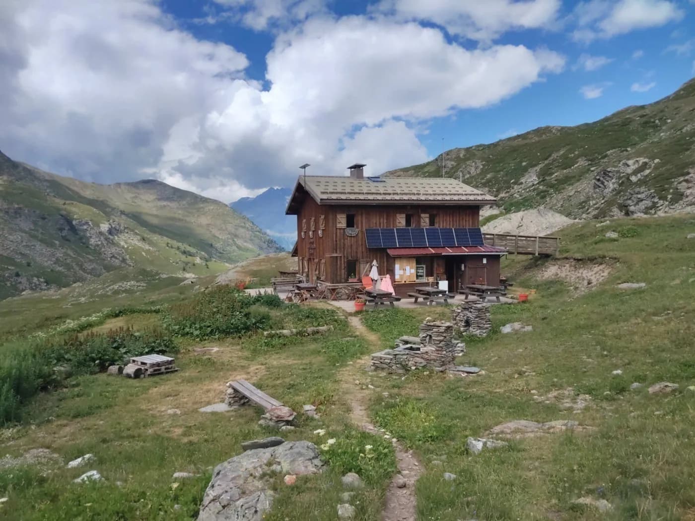
    From the refuge, follow the path heading up Vallon de Bissorte (due south). Continue along the base of the valley, on the right bank of the Bissorte stream. After a short, fairly steep section, you'll reach the upper valley, part of which features Lac des Bataillères (2,422 m).

    Refuge des MarchesWith the refuge
    See the refuge page

Other routes in the same category

See the whole category