Skip to content
Compagnie des Refuges Clarée Thabor
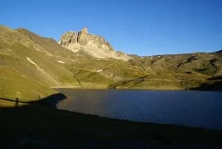
Mont Thabor (3,178 m) via Vallon du Dîner — photo 1
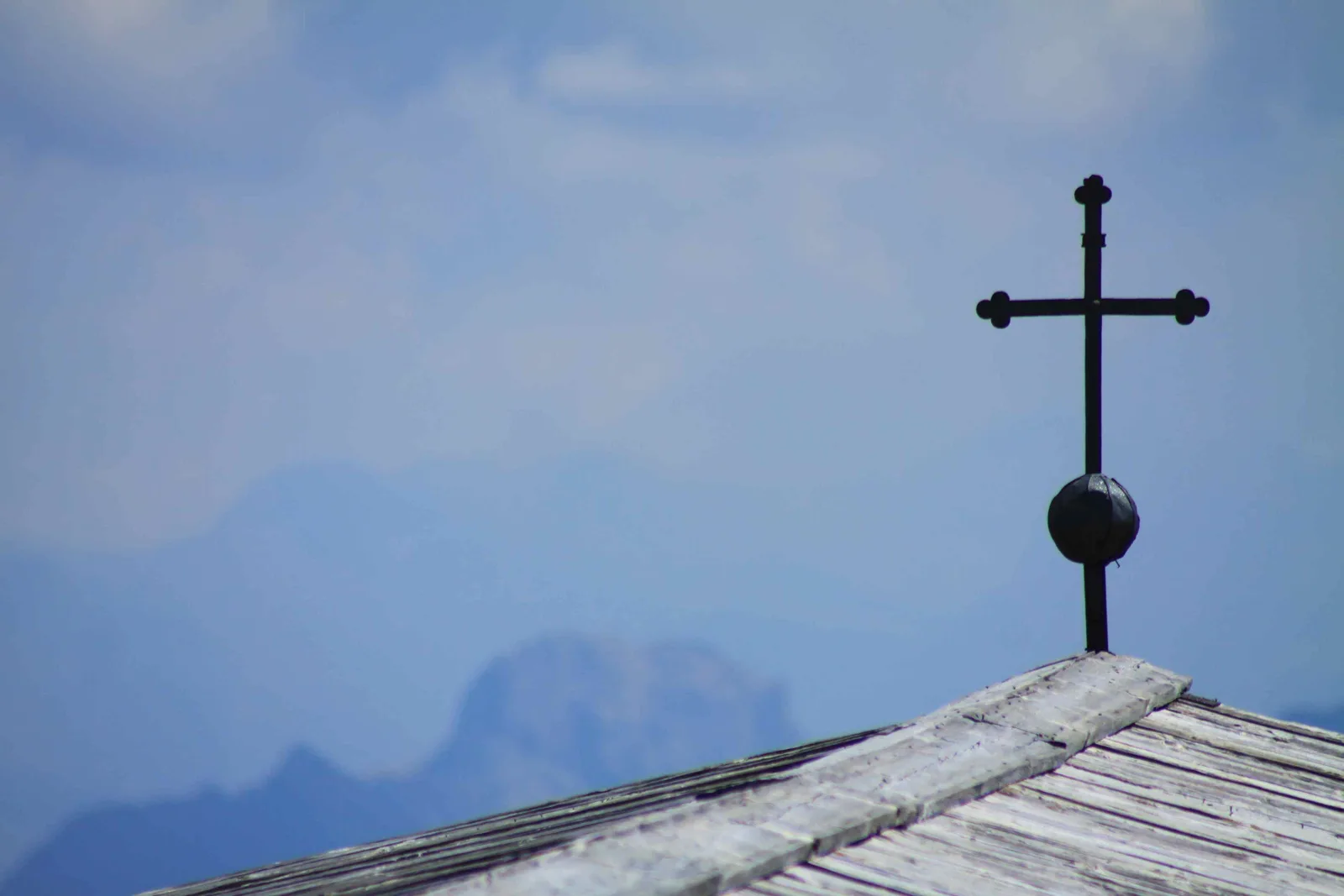
  • Mont Thabor (3,178 m) via Vallon du Dîner — photo 2
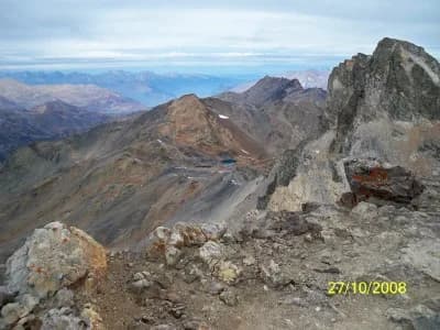
  • Mont Thabor (3,178 m) via Vallon du Dîner — photo 3
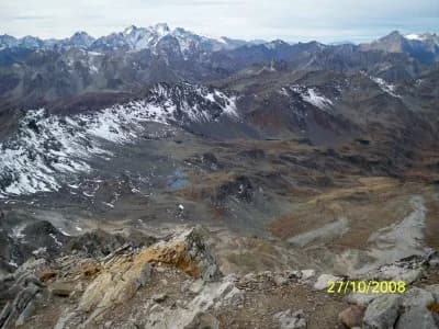
  • Mont Thabor (3,178 m) via Vallon du Dîner — photo 4
  • Mont Thabor (3,178 m) via Vallon du Dîner — photo 5
  • Mont Thabor (3,178 m) via Vallon du Dîner — photo 6
  • Mont Thabor (3,178 m) via Vallon du Dîner — photo 7
  • Mont Thabor (3,178 m) via Vallon du Dîner — photo 8
  • Mont Thabor (3,178 m) via Vallon du Dîner — photo 9
1 daySummer

Mont Thabor (3,178 m) via Vallon du Dîner

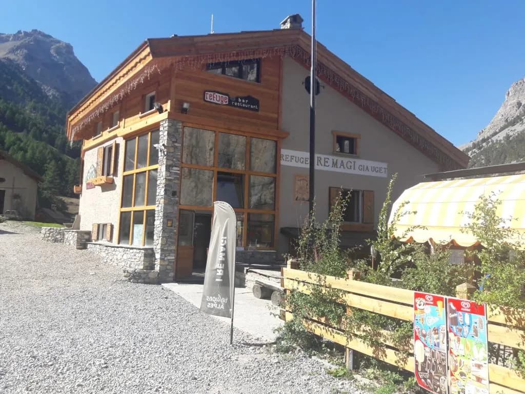
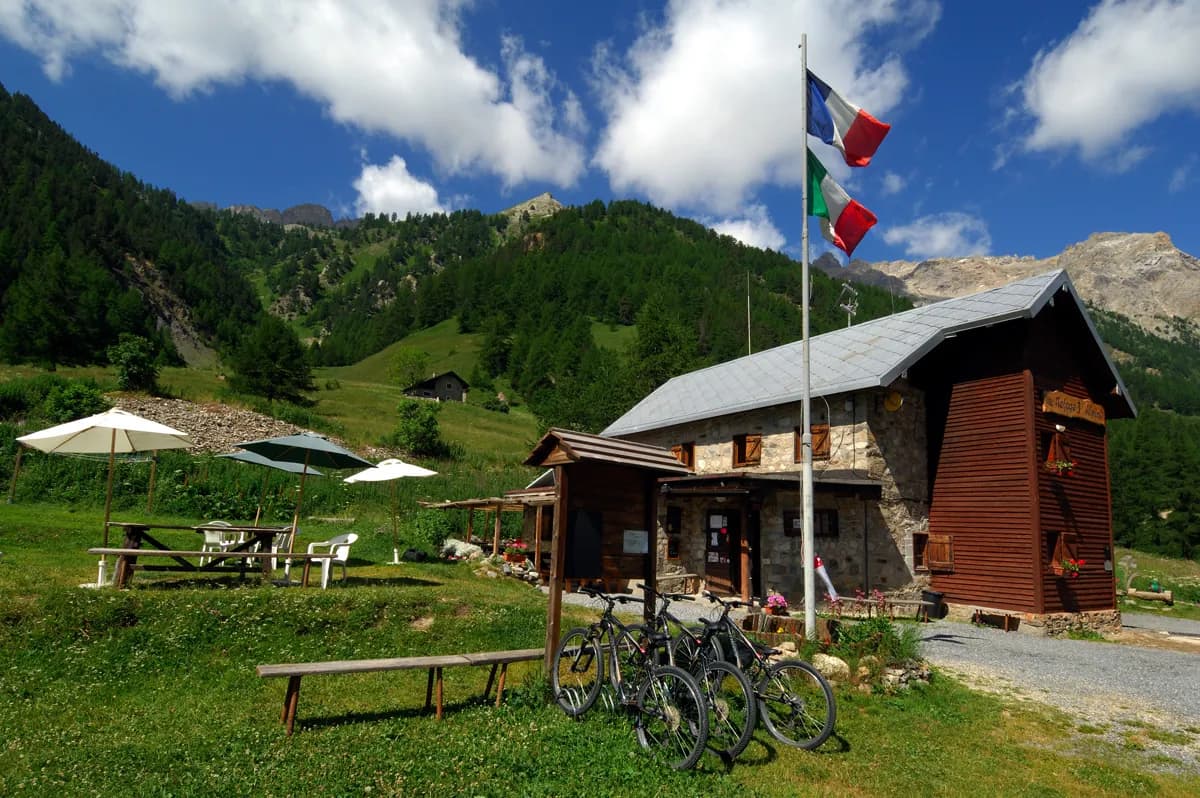
From the refuges of La Vallée Etroite, I Re Magi and Terzo Alpini

A classic route in the region which is very popular in summer. The summit of Mont Thabor is a pilgrimage site and the chapel at the top contains some moving ex-votos.

Duration
1 day
Distance
9 km
Elevation gain
+1,400 m
Level
Moderate
Season
in summer
Highest point
3,178 m
Vallée ÉtroiteStart : I Re Magi and Terzo Alpini refuges (Vallée Étroite)Getting to I Re Magi and Terzo Alpini refuges (Vallée Étroite)

Route map and profile

Tap a stage to see it on the map and profile.

Whole tour: 9 km · 4 h 30 walking · +1,400 m

Elevation profileDistance 8.5 kmAscent 1397 m
1700245032000 km8.5 km
Altitude 1765–3144 m

Refuges along the way

  • Refuge I Re Magi
  • Refuge Terzo Alpini

The route, day by day

1 day of walking

  1. D1
    Day 1

    From the refuges of La Vallée Etroite, I Re Magi and Terzo Alpini

    9 km · 4 h 30 · +1,400 m · 1760 m → 3178 m

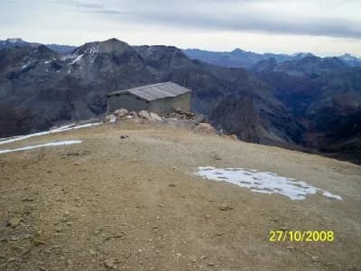
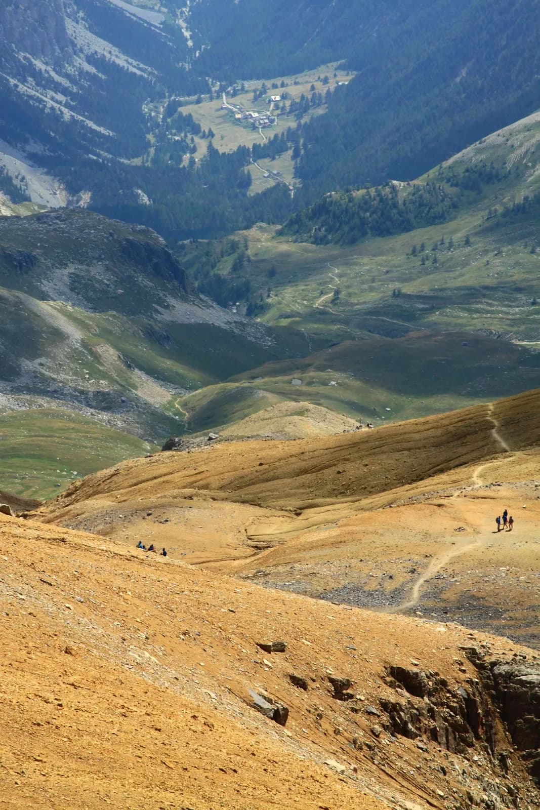
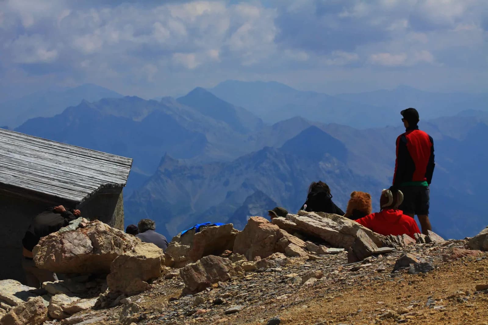
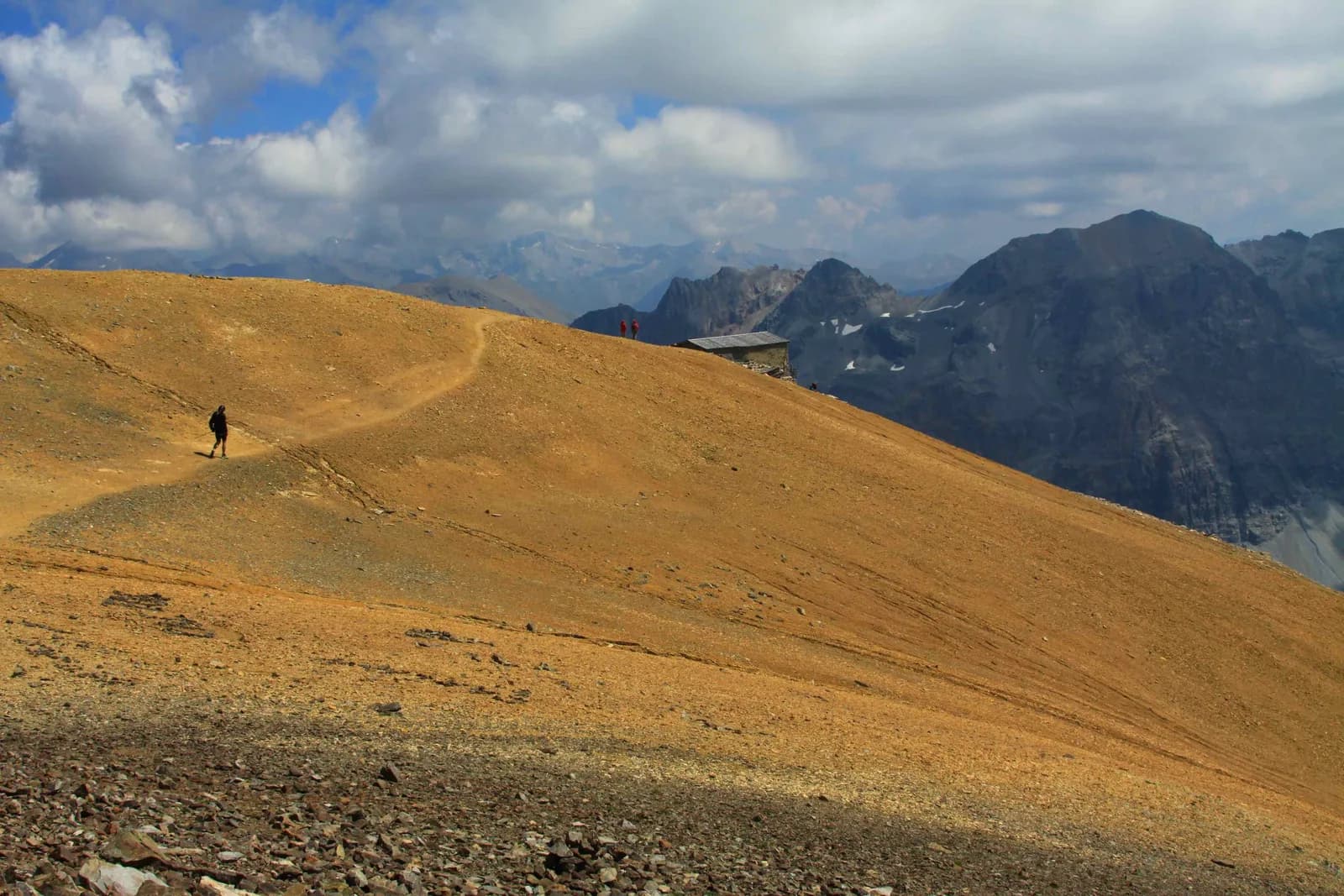
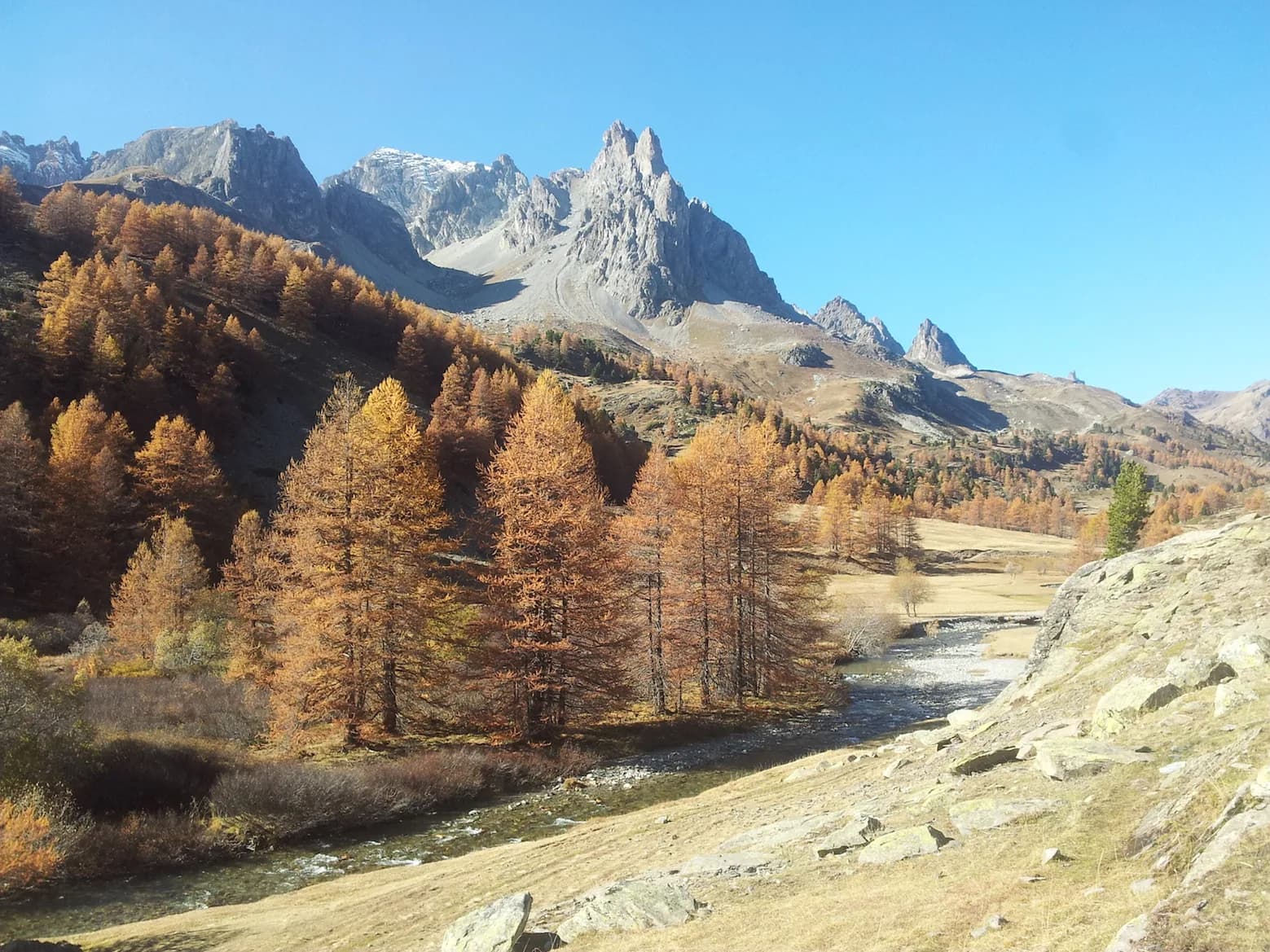
    From Granges de la Vallée Etroite (1,760 m), follow the piste or Chemin de la Fonderie. Before Pont de la Fonderie (1,897 m), take a left onto a track that winds its way up to Maison des Chamois (2,090 m). Leave the Vallon path on your left, passing Maison du Chamois and continue to a flat area where the view opens out onto the bottom of the valley. At Prat du Plan (2,200 m), cross the footbridge and follow the trail beneath Grand Seru into the alpine pastures of Vallon du Diner. You come out on the vast flat of Col des Méandes (2,727 m). The terrain becomes more rugged. The route winds its way up through rocky terrain to reach a small ridge to the S-E of the summit of Mont Thabor, which can now be clearly seen. Follow the twists and turns through rocky terrain, being cautious of the snowy passages that persist late in the season in the valleys of this sunny face. Near the summit, you cross a landscape of reddish earth and pebbles before reaching the chapel. Near the summit, you cross a landscape of reddish earth and pebbles before reaching the chapel. The summit (3,178 m) is just beyond. The descent takes the same route, but at Col des Méandes (2,727 m), you can also turn left (north) to Grand Seru, head down to Lac du Peyron (2,453 m) and cross to Col de Vallée Etroite (2,434 m) and Refuge du Mont Thabor (2,501 m). You can also reach Refuge des Drayères (2,180 m) via the Col des Muandes (2,828 m).
    Refuge I Re MagiWith the refuge

    See the refuge page

    Refuge Terzo AlpiniWith the refuge

    See the refuge page

Other routes in the same category

See the whole category