Skip to content
Compagnie des Refuges Clarée Thabor
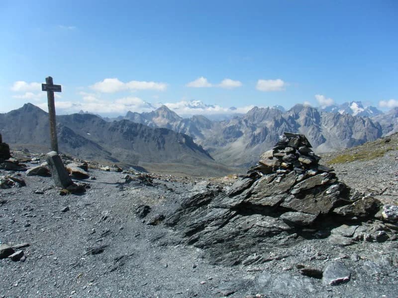
Mont Thabor (3,178 m) via Col de Muandes, Col de Valmeinier et Col de la Chapelle — photo 1
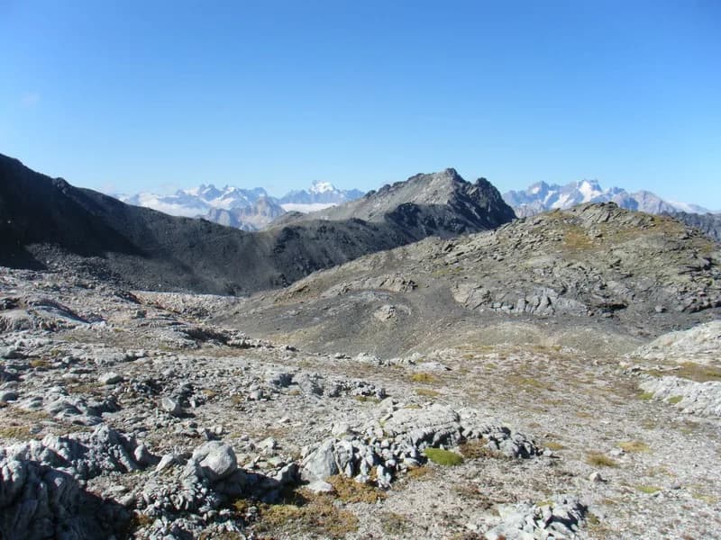
  • Mont Thabor (3,178 m) via Col de Muandes, Col de Valmeinier et Col de la Chapelle — photo 2
  • Mont Thabor (3,178 m) via Col de Muandes, Col de Valmeinier et Col de la Chapelle — photo 3
  • Mont Thabor (3,178 m) via Col de Muandes, Col de Valmeinier et Col de la Chapelle — photo 4
  • Mont Thabor (3,178 m) via Col de Muandes, Col de Valmeinier et Col de la Chapelle — photo 5
1 daySummer

Mont Thabor (3,178 m) via Col de Muandes, Col de Valmeinier et Col de la Chapelle

From Refuge des Drayères

A true mountain adventure!

Duration
1 day
Elevation gain
+1,050 m
Level
Moderate
Season
in summer
Highest point
3,178 m
ClaréeStart : Drayères refugeGetting to Drayères refuge

Route map and profile

No track available

No GPS track is available for this route.

Refuges along the way

  • Refuge des Drayères

The route, day by day

1 day of walking

  1. D1
    Day 1

    From Refuge des Drayères.

    4 h 30 · +1,050 m · 2180 m → 3178 m

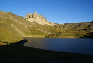
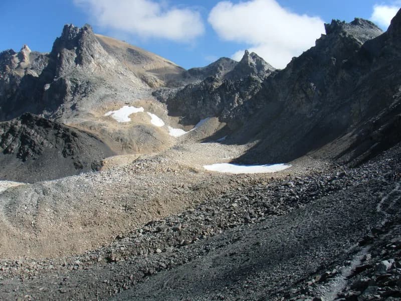
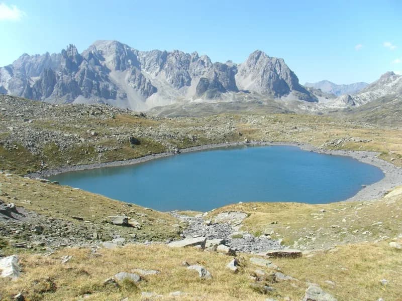
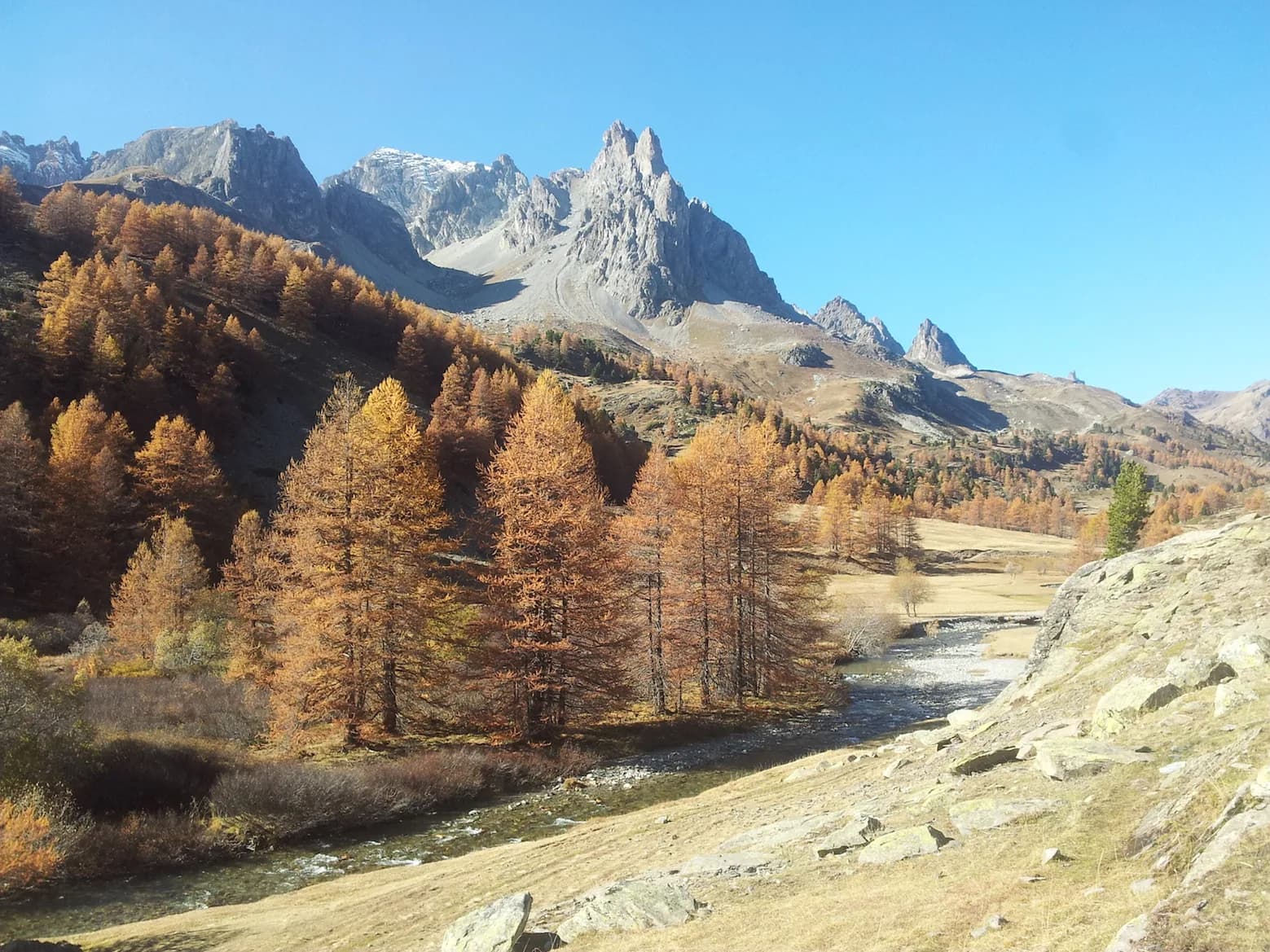
    From Refuge des Drayères, follow the GR57 (along the left bank of the Muandes) passing by Lac Rond, Lac des Muandes and over Col des Muandes, at 2,828 m (2 hrs). Follow Crête du Chardonnet (a somewhat aerial but well-marked path) to Col de Valmeinier. You'll pass under the north face of Roc de Valmeinier on the Maurienne slope to reach Col de la Chapelle. From here a fairly firm track leads to the south face of Mont Thabor, where you'll join the classic route, taking you up to the summit at 3,178m (4 hrs/4 hrs 30). Return via the same route.

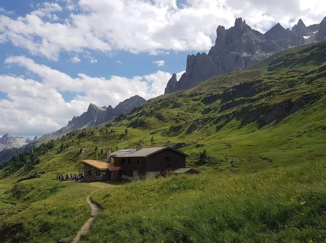
    Refuge des DrayèresWith the refuge
    See the refuge page

Other routes in the same category

See the whole category