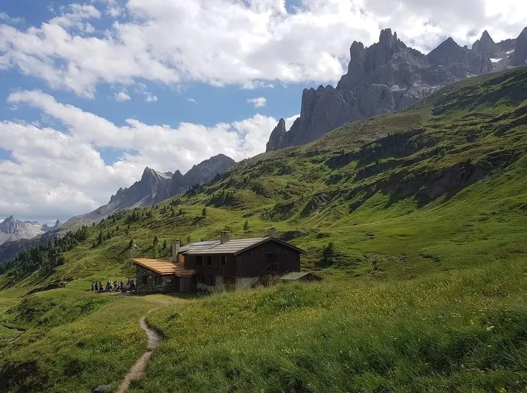
From Refuge des Drayères
6 h · +990 m · 2180 m → 2850 m
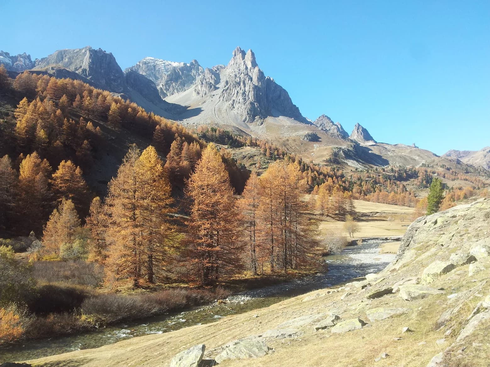
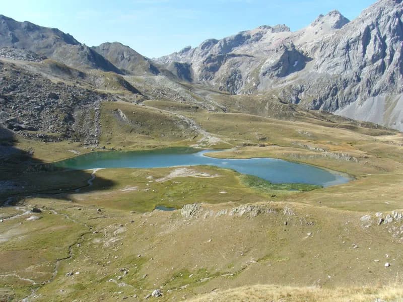
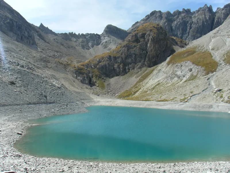
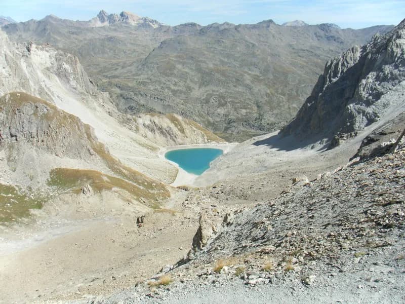
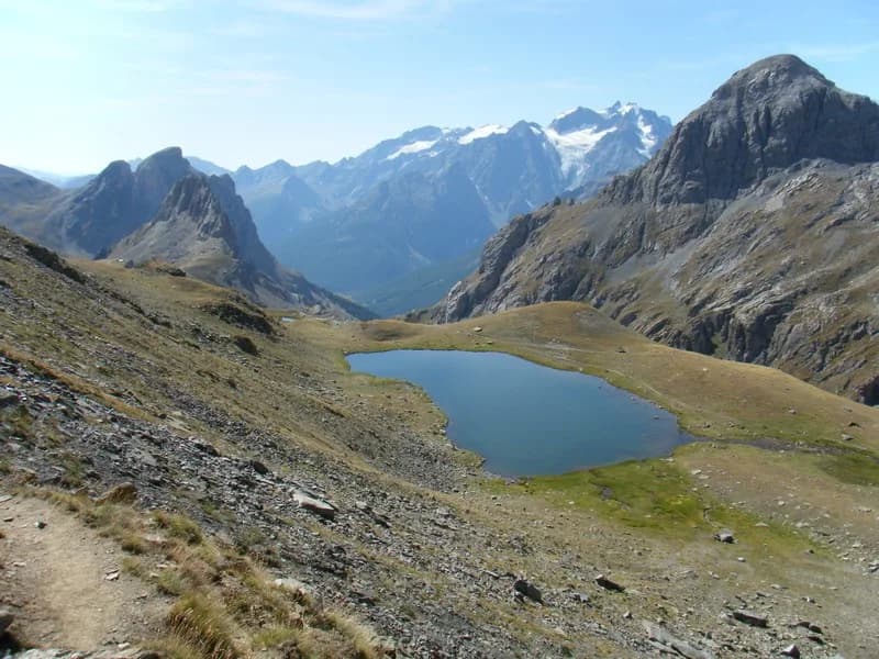
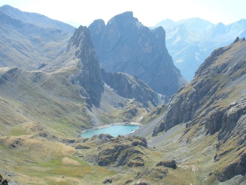
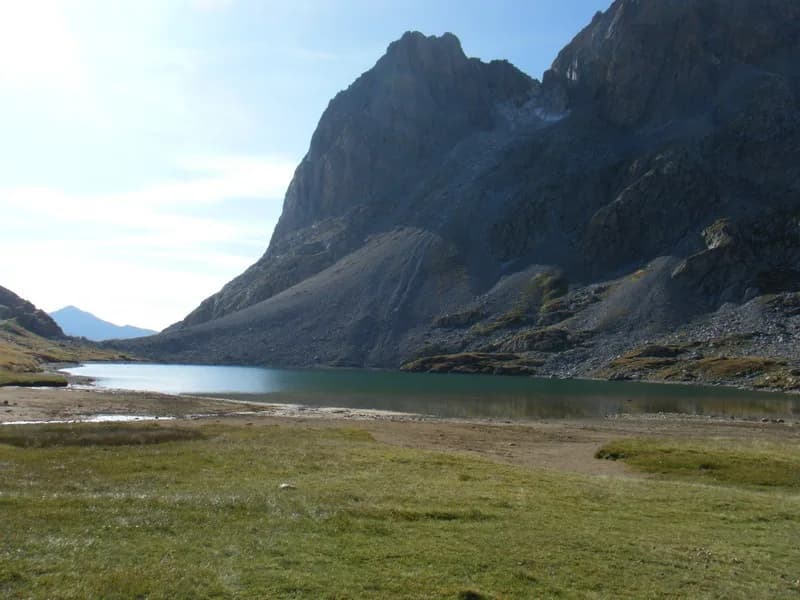
From Refuge des Drayères descend (the right bank of the Clarée) along the path that joins the path leading (west) to Lac des Béraudes (2,504 m) not far from the Laval car park. Continue up the left side of the lake to Col des Béraudes (2,800 m) and descend on the other side (S/S-W) towards the trail down from Col du Chardonnet. Head right (west) along the path to Col de la Ponçonnière (2,613 m), which you cross to descend (due north) to Lac des Cerces. Climb (heading north) towards Col des Cerces (2,574 m) and follow (N/W) the trail to Col des Rochilles (2,596 m), then left alongside Lac Long, Lac Rond and Lac de la Clarée before descending (on the left bank) by the Clarée stream to reach Refuge des Drayères. This circuit can be made in both directions. But the descent from Col des Béraudes to the lake of the same name is a little more challenging and you'll have to climb back up to Refuge des Drayères at the end of the day.