Skip to content
Compagnie des Refuges Clarée Thabor
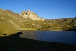
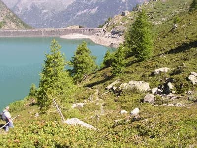
Tour of Lac de Bisstorte — photo 1
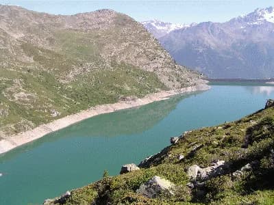
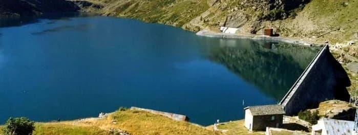
  • Tour of Lac de Bisstorte — photo 2
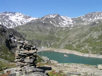
  • Tour of Lac de Bisstorte — photo 3
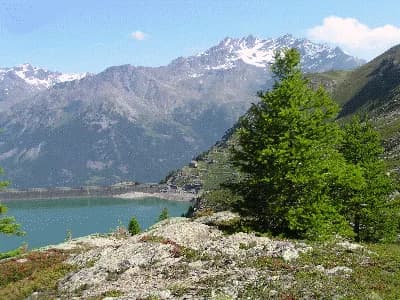
  • Tour of Lac de Bisstorte — photo 4
  • Tour of Lac de Bisstorte — photo 5
  • Tour of Lac de Bisstorte — photo 6
1 daySummer

Tour of Lac de Bisstorte

From Refuge des Marches

A lovely circuit passing EDF hydraulic dams

Duration
1 day
Elevation gain
+337 m
Level
Easy
Season
in summer
Highest point
2,230 m
Thabor MaurienneStart : Marches refugeGetting to Marches refuge

Route map and profile

No track available

No GPS track is available for this route.

Refuges along the way

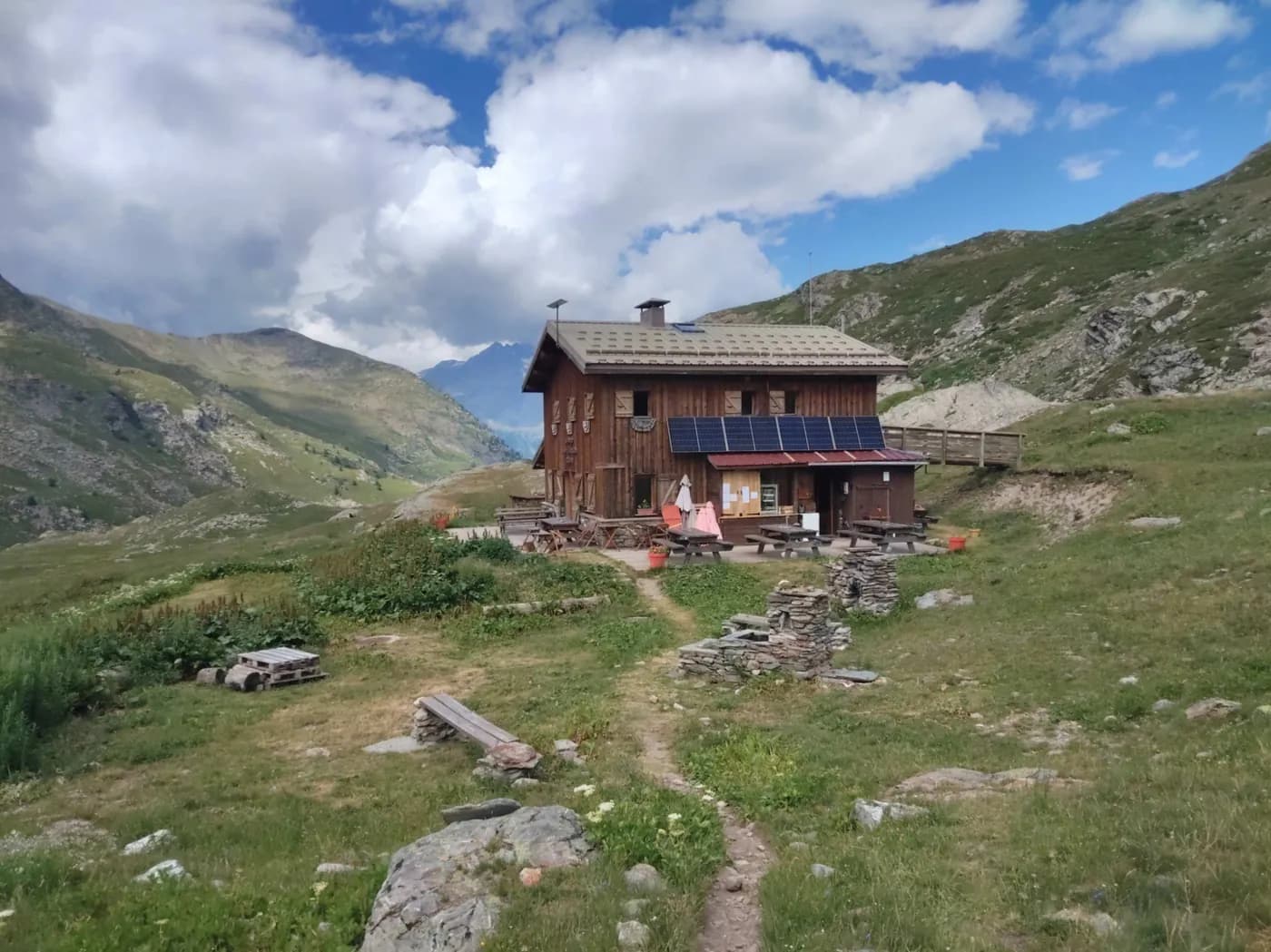
  • Refuge des Marches

The route, day by day

1 day of walking

  1. D1
    Day 1

    From Refuge des Marches

    3 h · +337 m · 2230 m

    Leaving the refuge, follow the trail towards Col des Sarrasins. After two sharp bends and having passed by some ruins, the path begins to head due north. Climb up onto the ridge at 2,244 m (the highest point on the hike) and admire the view over Bisstorte lake and dam. The trail continues up the mountainside to the Bonnenuit water source. Pass by the EDF buildings to the dike. Cross the dam and take the path along the left bank of the lake which leads back to the refuge.

    Refuge des MarchesWith the refuge
    See the refuge page

Other routes in the same category

See the whole category