Skip to content
Compagnie des Refuges Clarée Thabor
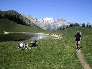
4 days (3 nights): Starting from Pont de l’Alpe (the Lautaret road, RN91) — photo 1
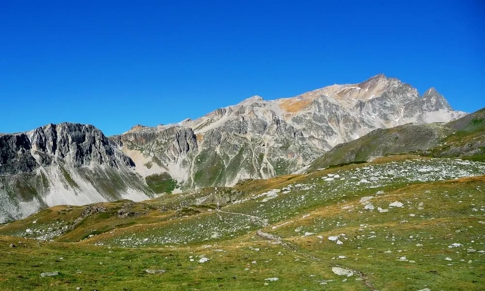
  • 4 days (3 nights): Starting from Pont de l’Alpe (the Lautaret road, RN91) — photo 2
  • 4 days (3 nights): Starting from Pont de l’Alpe (the Lautaret road, RN91) — photo 3
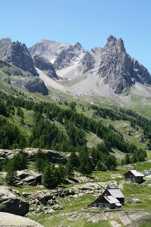
  • 4 days (3 nights): Starting from Pont de l’Alpe (the Lautaret road, RN91) — photo 4
Not yet bookable online4 days · 3 nightsSummer

4 days (3 nights): Starting from Pont de l’Alpe (the Lautaret road, RN91)

Refuge du Chardonnet - Refuge Ricou - Refuge des Drayères

A tour of the Cerces, between Guisane and the Clarée.

Duration
4 days · 3 nights
Distance
36 km
Elevation gain
+2,350 m
Level
Moderate
Season
in summer
Highest point
2,995 m
Cerces GuisaneStart and finish in Pont de l'AlpeGetting to Pont de l'Alpe

Route map and profile

Tap a stage to see it on the map and profile.

Whole tour: 36 km · 23 h walking · +2,350 m · 3 nights in refuges

Elevation profileDistance 36.1 kmAscent 2496 m
1700215026000 km36.1 km
Altitude 1721–2558 m

Refuges along the way

  • Refuge du Chardonnet
  • Refuge de Ricou
  • Refuge des Drayères

The route, day by day

4 days of walking

Nights in refuges bookable online can also be booked one at a time, from their page; the others, with the refuge.

  1. D1
    Day 1

    From Pont de l’Alpe to Refuge du Chardonnet

    8 km · 4 h · +400 m · −400 m · 1710 m → 2230 m

    Park at Pont de l’Alpe on the RN 91. Climb to the chalets of l’Alpe du Lauzet (1,940 m) and pass at Col du Chardonnet (2,638 m). Then head down to Refuge du Chardonnet.

    Night 1 · tonight's refuge

    Refuge du ChardonnetWith the refuge

    See the refuge page

  2. D2
    Day 2

    Refuge du Chardonnet to Refuge Ricou

    4 km · 8 h · +1,000 m · 2230 m → 2115 m

    Drop down to the hamlet of Foncouverte and continue through the campsite. Cross Pont de Foncouverte, in front of Auberge de la Fruitière, and head up towards Refuge Ricou. Follow the track to Lac Laramon and continue to Pic du Lac Blanc (2,995 m) before returning down to Refuge Ricou through the Gardioles mountain pastures.

    Night 2 · tonight's refuge

    Refuge de RicouBookable online

    Bookable online, one night at a time, from its page. See its places

    See the refuge page

  3. D3
    Day 3

    Refuge Ricou to Refuge des Drayères

    10 km · 5 h · +450 m · −450 m · 2115 m → 2180 m

    Return to Chemin des Lacs and branch off towards Laval on the GR57. Pass Lac de la Cula (2,460 m), and head back towards the bottom of the valley, then take the track towards Refuge des Drayères.

    Night 3 · tonight's refuge

    Refuge des DrayèresWith the refuge

    See the refuge page

  4. D4
    Day 4

    Refuge des Drayères to Pont de l'Alpe

    13 km · 6 h · +500 m · −900 m · 2180 m → 1710 m

    Head towards the bottom of the valley and pass Lac de la Clarée (2,450 m). Continue to Col des Cerces (2,575 m) and back down to Lac des Cerces (2,396 m). Make the short climb up Col de la Ponsonnière (2,610 m). And to finish this little circuit, drop down into the large valley.

    Arrival in Pont de l'Alpe · end of the tour

    No night to book that evening.

Other routes in the same category

See the whole category