Skip to content
Compagnie des Refuges Clarée Thabor
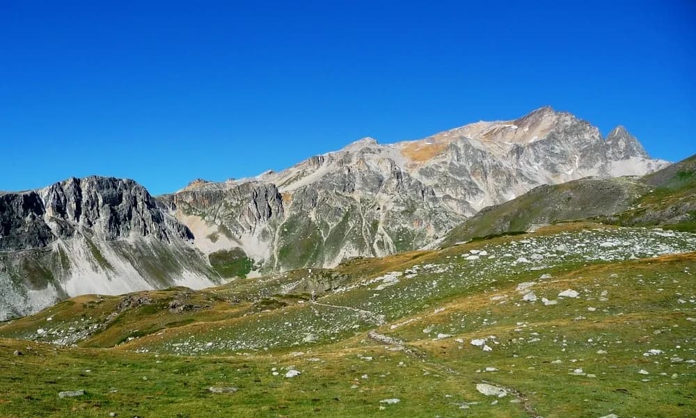
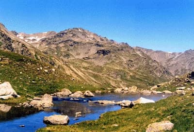
5 days (4 nights): around Mont Thabor starting from Valmeinier — photo 1
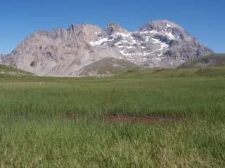
  • 5 days (4 nights): around Mont Thabor starting from Valmeinier — photo 2
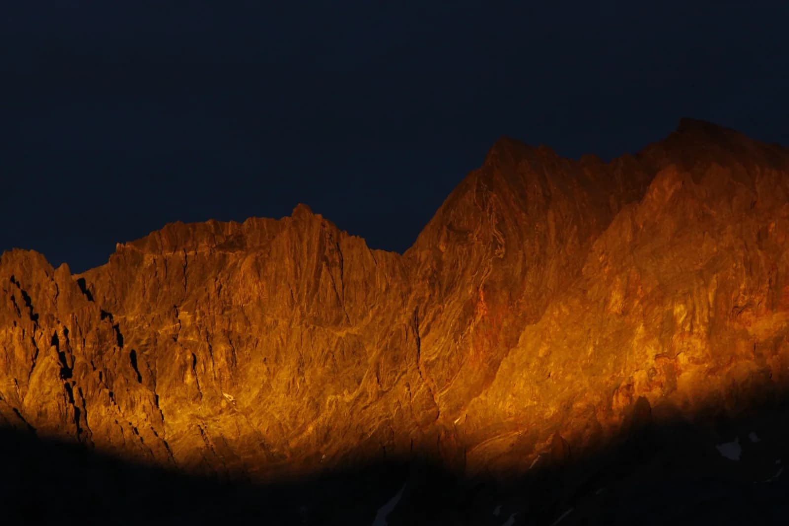
  • 5 days (4 nights): around Mont Thabor starting from Valmeinier — photo 3
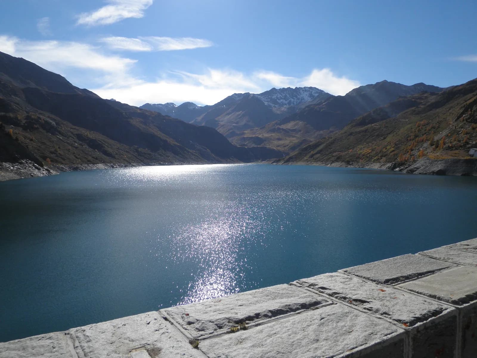
  • 5 days (4 nights): around Mont Thabor starting from Valmeinier — photo 4
  • 5 days (4 nights): around Mont Thabor starting from Valmeinier — photo 5
  • 5 days (4 nights): around Mont Thabor starting from Valmeinier — photo 6
  • 5 days (4 nights): around Mont Thabor starting from Valmeinier — photo 7
  • 5 days (4 nights): around Mont Thabor starting from Valmeinier — photo 8
  • 5 days (4 nights): around Mont Thabor starting from Valmeinier — photo 9
Not yet bookable online5 days · 4 nightsSummer

5 days (4 nights): around Mont Thabor starting from Valmeinier

Refuge des Marches - Refuge du Mont Thabor - Refuge I Re Magi - Refuge Terzo Alpini - refuge des Drayères

A route to climb Mont Thabor

Duration
5 days · 4 nights
Distance
60 km
Elevation gain
+3,900 m
Level
Moderate
Season
in summer
Highest point
3,178 m
Thabor MaurienneStart and finish in Valmeinier (Chenalette car park)Getting to Valmeinier (Chenalette car park)

Route map and profile

Tap a stage to see it on the map and profile.

Whole tour: 60 km · 29 h 30 walking · +3,900 m · 4 nights in refuges

Elevation profileDistance 59.7 kmAscent 3140 m
1600240032000 km59.7 km
Altitude 1652–3159 m

Refuges along the way

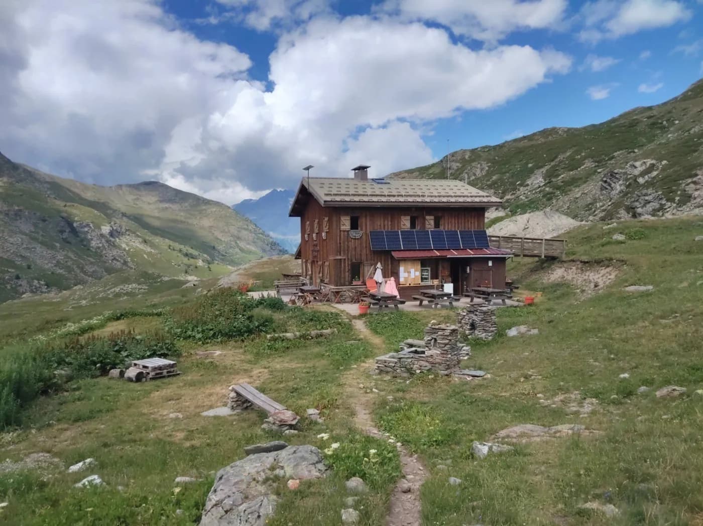
  • Refuge des Marches
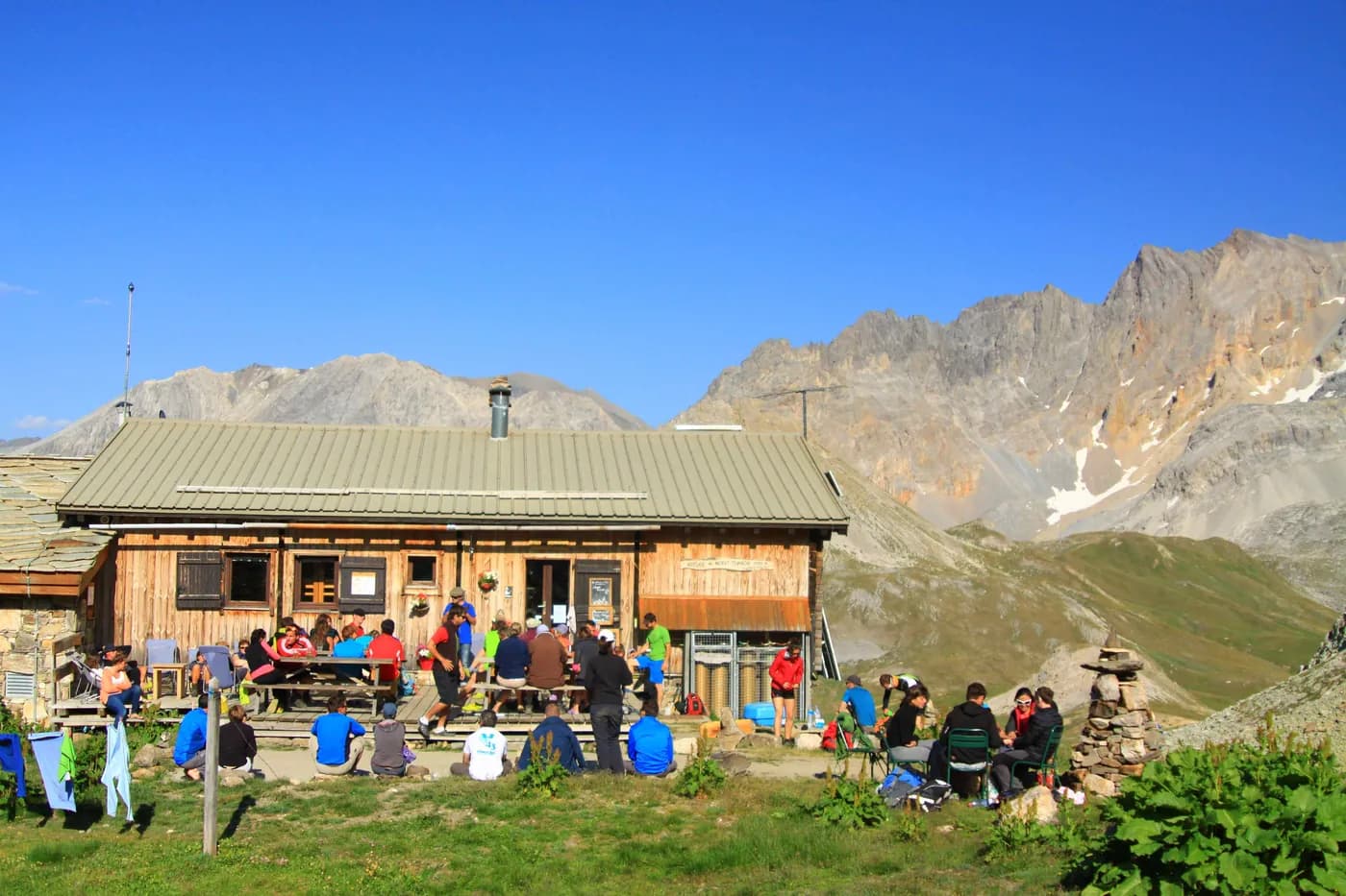
  • Refuge du Thabor
  • Refuge I Re Magi
  • Refuge Terzo Alpini
  • Refuge des Drayères

The route, day by day

5 days of walking

Nights in refuges bookable online can also be booked one at a time, from their page; the others, with the refuge.

  1. D1
    Day 1

    From Valmeinier to Refuge des Marches via Vallons and Col des Marches

    9 km · 4 h 30 · +1,000 m · −500 m · 1800 m → 2230 m

    Park your vehicle at La Chenalette car park. Head towards La Losa to climb up towards the Vallons. After Lac de Roche Noire, head for Col des Marches. From the pass, all you have to do is drop down into Vallon de Bissorte overlooking the dam to reach the refuge. Once you get there, all that’s left to do is enjoy an excellent craft beer.

    Night 1 · tonight's refuge

    Refuge des MarchesWith the refuge
    See the refuge page

  2. D2
    Day 2

    Refuge des Marches to Refuge du Mont Thabor via Col des Bataillères

    6 km · 5 h · +800 m · −300 m · 2230 m → 2501 m

    Before heading off to Refuge du Mont Thabor in the morning, leaving your rucksack at the refuge and take a walk around the lake (1 hr 30). To get to Col des Bataillières, follow the path up Vallon de Bissorte to Lac des Bataillières, where the fish are plentiful. To reach the pass, simply take the path that winds up above the lake. From the refuge to the pass, it takes around 2 hours 45 minutes. It's then a 45-minute walk back down to Refuge du Mont Thabor. Make sure you stop off at the Sainte-Marguerite lakes, above the refuge, to take a little siesta before enjoying some home-made cakes and pastries.

    Night 2 · tonight's refuge

    Refuge du ThaborWith the refuge

    See the refuge page

  3. D3
    Day 3

    Refuge du Mont Thabor to Granges de la Vallée Etroite via Mont Thabor

    15 km · 7 h · +600 m · −1,700 m · 2501 m → 1780 m

    As the heat is so intense on Mont Thabor, you'll need to leave at dawn, walk down for a few minutes to Col de la Vallée Etroite to then take the path up to the summit. From Col des Méandes, the Chemin de Croix (Way of the Cross) leads to the chapel just below the summit. From the summit, you need to retrace your steps to Col des Méandes, before heading down into Vallée Etroite. You'll have another 1 hour 30 minutes of descent before enjoying an Italian speciality in one of the two refuges in Vallée Etroite (Refuge Terzo Alpini or Refuge I Re Magi).

    Night 3 · tonight's refuge

    Refuge I Re MagiWith the refuge

    See the refuge page

    Refuge Terzo AlpiniWith the refuge

    See the refuge page

  4. D4
    Day 4

    From Granges de la Vallée Etroite to Refuge des Drayères via Col des Muandes

    13 km · 6 h · +1,000 m · 1780 m → 2180 m

    From the refuges of Vallée Etroite, head up to Pont de la Fonderie. Before the bridge, there is a fork in the road on your left that leads up towards Prat du Plan (when you came down from Thabor the day before, you will have came down this way). At Prat du Plan, take the path leading to Lac du Chardonnet. You will come across the new GR route from the summit of Mont Thabor. On this GR, head for Col des Muandes, 2,828 m. From the pass, continue to Lac des Muandes and Lac Rond, before arriving at Refuge des Drayères.

    Night 4 · tonight's refuge

    Refuge des DrayèresWith the refuge

    See the refuge page

  5. D5
    Day 5

    From Refuge des Drayères to Valmeinier via Pas des Griffes

    17 km · 7 h · +500 m · 2180 m → 1800 m

    On your last day, all you need to do is climb Seuil des Rochilles and its Lac Rond. After the lake, head towards Col de la Plagnette to return down to the long valley overlooking Valloire. Be careful not to drop down too far so as to be able to pick up the path leading up to Pas des Griffes. From Pas des Griffes, return to the Chenalette car park in Valmeinier, passing beneath Lac Vert.

    Arrival in Valmeinier (Chenalette car park) · end of the tour

    No night to book that evening.

Other routes in the same category

See the whole category