
Skip to content
Compagnie des Refuges Clarée Thabor
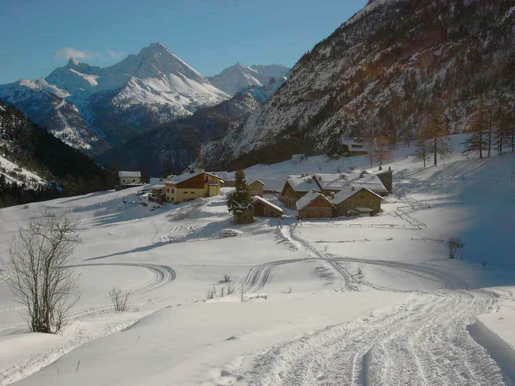
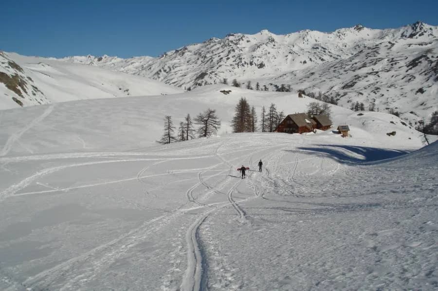
The Haute-Route Thabor to the start of Vallée Etroite — photo 1
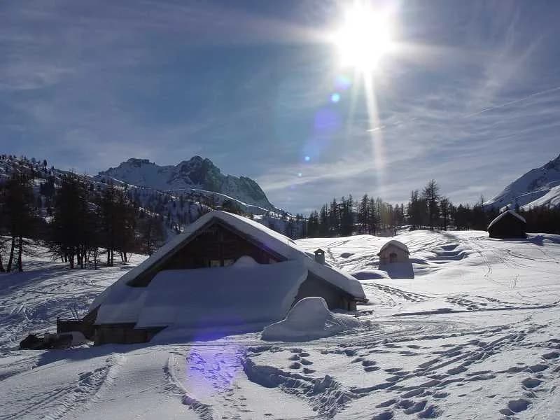
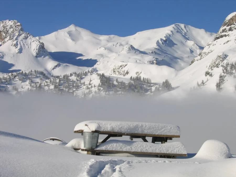
  • The Haute-Route Thabor to the start of Vallée Etroite — photo 2
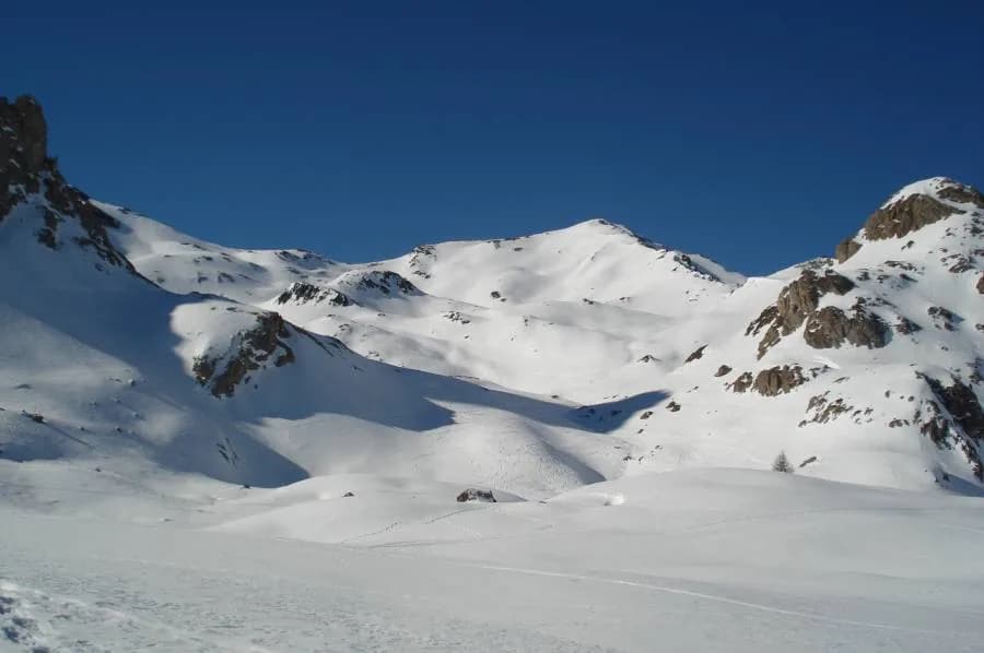
  • The Haute-Route Thabor to the start of Vallée Etroite — photo 3
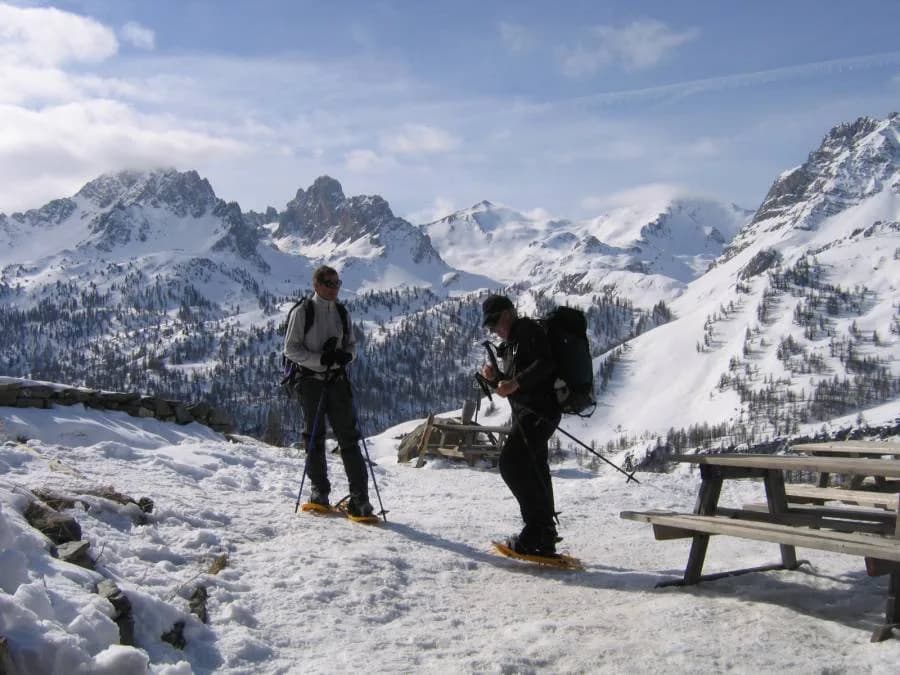
  • The Haute-Route Thabor to the start of Vallée Etroite — photo 4
  • The Haute-Route Thabor to the start of Vallée Etroite — photo 5
  • The Haute-Route Thabor to the start of Vallée Etroite — photo 6
  • The Haute-Route Thabor to the start of Vallée Etroite — photo 7
  • The Haute-Route Thabor to the start of Vallée Etroite — photo 8
  • The Haute-Route Thabor to the start of Vallée Etroite — photo 9
  • The Haute-Route Thabor to the start of Vallée Etroite — photo 10
  • The Haute-Route Thabor to the start of Vallée Etroite — photo 11
  • The Haute-Route Thabor to the start of Vallée Etroite — photo 12
  • The Haute-Route Thabor to the start of Vallée Etroite — photo 13
  • The Haute-Route Thabor to the start of Vallée Etroite — photo 14
Not yet bookable online7 days · 6 nightsWinter

The Haute-Route Thabor to the start of Vallée Etroite

Setting off from the most Italian of French valleys

Duration
7 days · 6 nights
Level
Difficult
Season
in winter
Highest point
3,178 m
Vallée ÉtroiteStart : Bardonecchia (Italy)Getting to Bardonecchia (Italy)

Route map and profile

Whole tour: 6 nights in refuges

Track from camptocamp.org (CC BY-SA) 232277, 259157, 264906, 1190911

Partial track: some stages have no GPS track.

No elevation profile

The elevation profile is only computed for routes with a complete track.

Refuges along the way

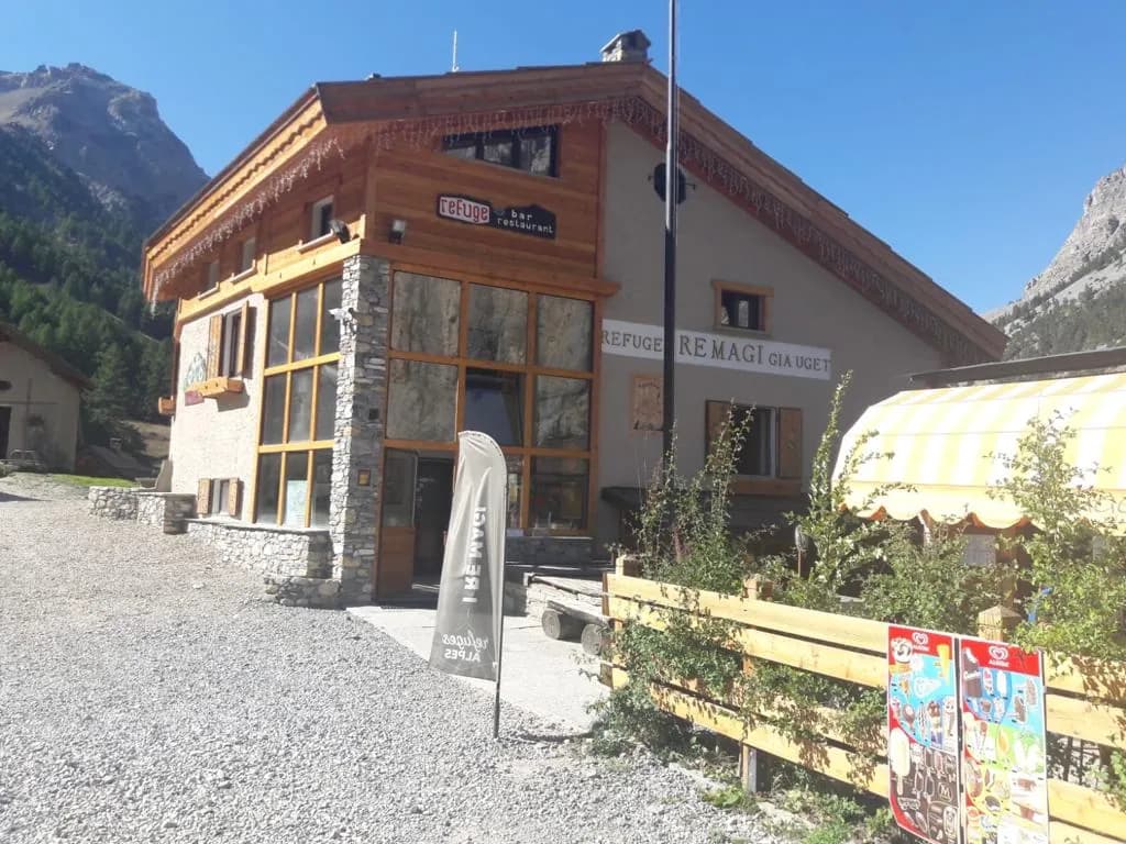
  • Refuge I Re Magi
  • Refuge Terzo Alpini
  • Refuge Buffère
  • Refuge du Chardonnet
  • Refuge de Ricou
  • Refuge des Drayères
  • Refuge du Thabor

The route, day by day

7 days of walking

Nights in refuges bookable online can also be booked one at a time, from their page; the others, with the refuge.

  1. D1
    Day 1

    1st stage: From Bardonecchia to Granges de la Vallée Etroite (+320 m)

    From Bardonecchia, join Pian del Colle along the road (1,440 m). Put on your skis and head north-west up along valley to reach Granges de la Vallée Etroite (1,760 m, +320 m). Evening and overnight stay at Refuge Terzo Alpini or Refuge I Re Magi.

    Night 1 · tonight's refuge

    Refuge I Re MagiWith the refuge

    See the refuge page

    Refuge Terzo AlpiniWith the refuge

    See the refuge page

  2. D2
    Day 2

    2nd stage: Granges de la Vallée Etroite to Refuge Buffère (+1,380 m, -1,045 m)

    From Granges de la Vallée Etroite, head up the “Narrow Valley” as far as Pont de la Fonderie (1,920 m). Pass around Tête du Chien to the north, then head south to join Col du Vallon (2,645 m, +880 m). Drop down to Combe du Vallon sur Ville Haute (1,600 m, -1,045 m). Take the snow-covered Haute Vallée de la Clarée route as far as the Lacou chapels and bear left (South-West) at an altitude of 1,770 m towards Pont du Rately. Then walk up to Refuge Buffère (2,076 m) along a route that is generally well maintained to enjoy refreshments at your destination (+500 m). Evening and overnight stay at Refuge Buffère.

    Night 2 · tonight's refuge

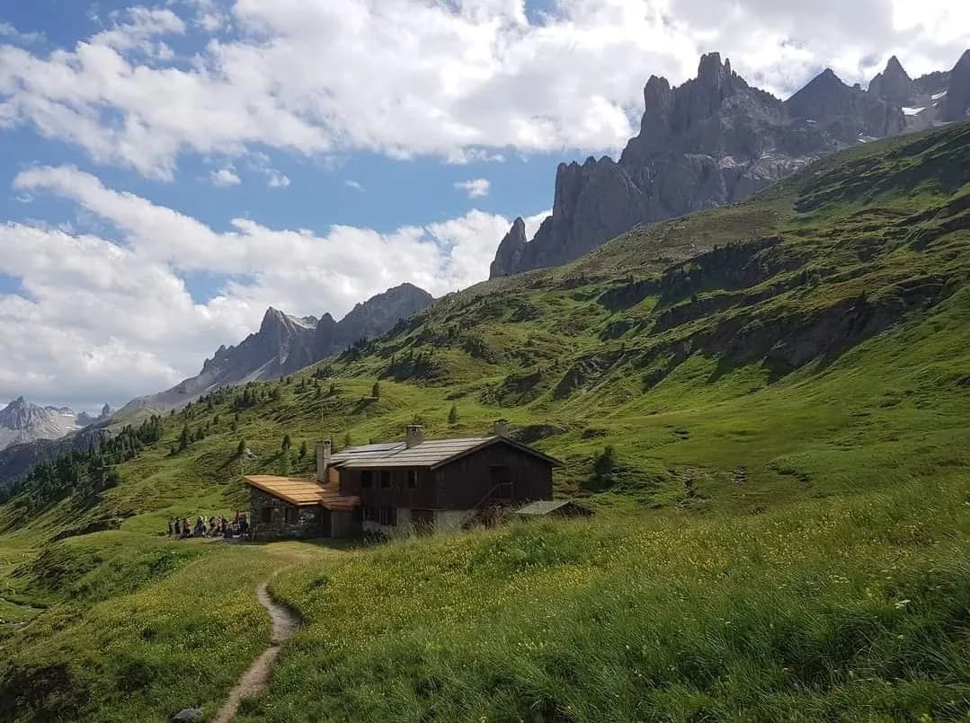
    Refuge BuffèreBookable online

    Bookable online, one night at a time, from its page. See its places
    See the refuge page

  3. D3
    Day 3

    3rd stage: Refuge Buffère to Refuge du Chardonnet (+885 m, -730 m)

    From Refuge Buffère (2,076 m), climb Crête de Baude (2,571 m, +500 m). Descend on the north face in the direction of Bois de Suly as far as La Souchère (1,845 m, -730 m), then walk up to Refuge du Chardonnet (2,230 m, +385 m), passing by the chalets de Larau. Evening and overnight stay at Refuge du Chardonnet. For an easier route down, the Baude descent via the refuge and the forest is a little less challenging.

    Night 3 · tonight's refuge

    Refuge du ChardonnetWith the refuge

    See the refuge page

  4. D4
    Day 4

    4th stage: Refuge du Chardonnet to Refuge Ricou (+865 m, -1,000 m)

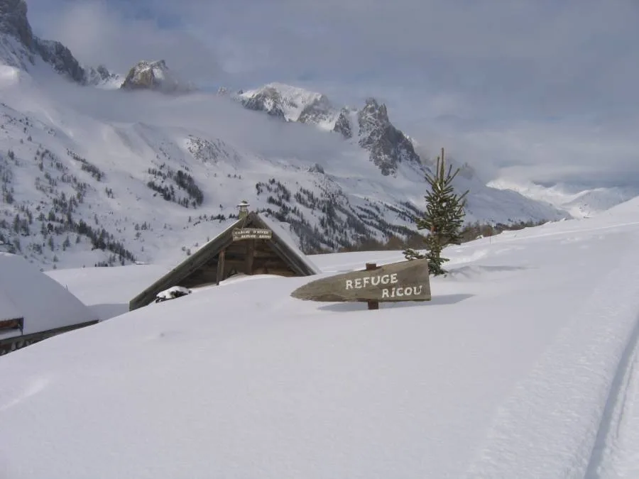
    From Refuge du Chardonnet (2,230 m), head around the Massif du Queyrellin via Casse Blanche (2,844 m, +610 m). Descend via the Couloir de la Replate, running Eas/Sout-East above the Ruisseau de Rif Tord, to reach the hamlet of Fontcouverte (1,857 m, -1,000 m). Walk up to Refuge Ricou (2,115 m, +255 m). Evening and overnight stay at Refuge Ricou.

    Night 4 · tonight's refuge

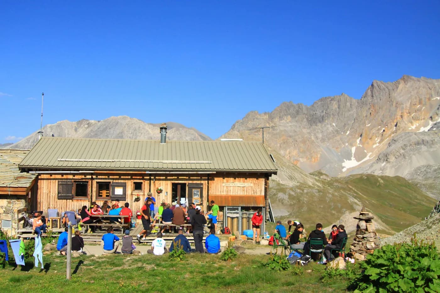
    Refuge de RicouBookable online

    Bookable online, one night at a time, from its page. See its places
    See the refuge page

  5. D5
    Day 5

    5th stage: Refuge Ricou to Refuge des Drayères (+750 m, -685 m)

    Leaving Refuge Ricou (2,115 m), climb the south-facing slope to Col de la Grande Tempête (or Crête des Muandes) (2,865 m, +750 m) (Altenative option: The summit of Grande Tempête (3,002 m, +900 m)) and then down the west-facing slope to reach Refuge des Drayères (2,180 m, -685 m). Evening and overnight stay at Refuge des Drayères.

    Night 5 · tonight's refuge

    Refuge des DrayèresWith the refuge

    See the refuge page

  6. D6
    Day 6

    6th stage: Refuge des Drayères to Refuge du Mont Thabor (+900 m, -580 m)

    From Refuge des Drayères (2,180 m), pass by the Lacs de la Madeleine (2,630 m) to get to Col de Névache (2,794 m, +610 m). Head over to the other side. Drop down to the Lacs des Glaciers (2,663 m, -130 m). Then climb towards the Pic du Thabor pass (2,952 m, +290 m), via Lac Source (2,726 m). Head north around Cheval Blanc via Col du Cheval Blanc (2,791 m, -160 m) to reach Refuge du Mont Thabor (2,502 m, -290 m). Evening and overnight stay at Refuge du Mont Thabor. Note: Cheval Blanc can also be reached from the south via Col du Peyron (2,851 m). Drop down again into Vallon du Peyron before climbing the south-facing slopes of La Faysse, which allows you to reach Refuge du Mont Thabor located on the other side of the valley.

    Night 6 · tonight's refuge

    Refuge du ThaborWith the refuge

    See the refuge page

  7. D7
    Day 7

    7th stage: Refuge du Mont Thabor to Granges de la Vallée Etroite (+850 m, -1,870 m)

    From Refuge du Mont Thabor (2,502 m), drop down to Col de la Vallée Étroite (2,434 m). Continue south-west for 2,350 m (-150 m), then climb up to Lac du Peyron (2,430 m). Go around the large barrier of rocks to the left (from the east) to reach Les Chances du Peyron and Col des Méandes (2,727 m). Continue north-west to the top of Mont Thabor (3,178 m, +850 m). For your descent, follow the same route until you reach Col des Méandes. Then bear right (south) along Vallon du Dîner. Join Granges de la Vallée Etroite (1,765 m, -1,400 m). From Granges de la Vallée Etroite drop down to Pian del Colle (1,445 m, -320 m).

    Arrival · end of the tour

    No night to book that evening.

Other routes in the same category

See the whole category