Skip to content
Compagnie des Refuges Clarée Thabor
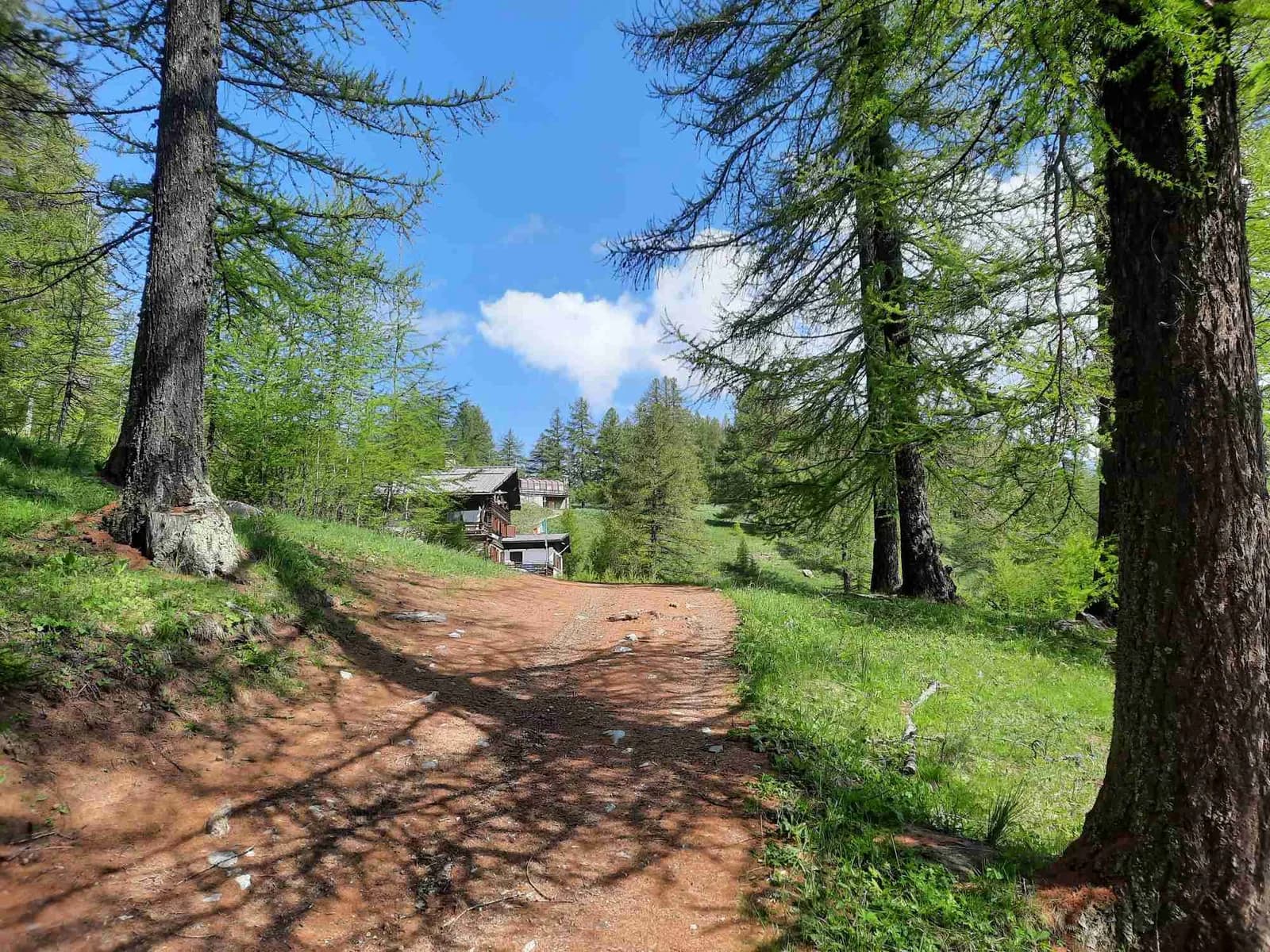
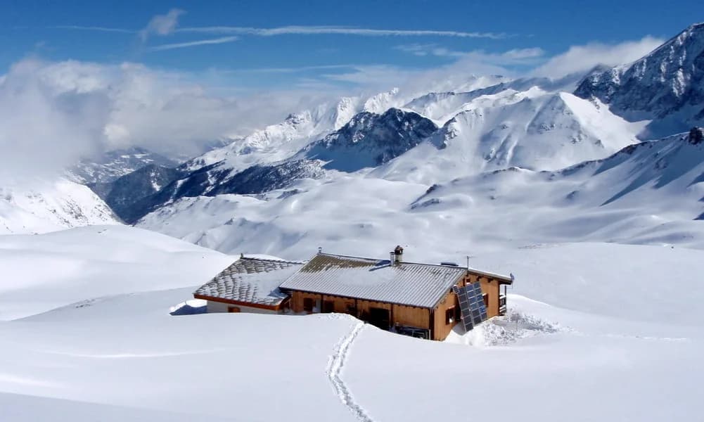
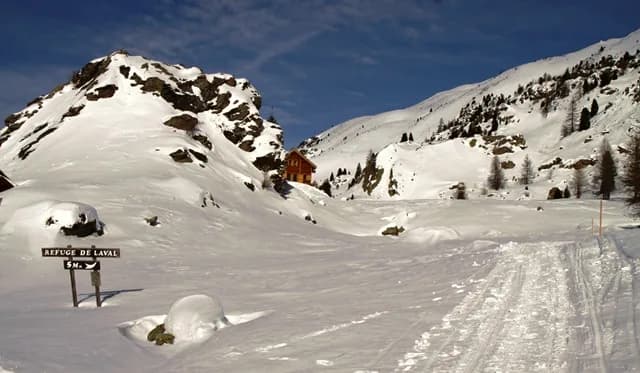
From Névache to Refuge Laval along the snow-covered road — photo 1
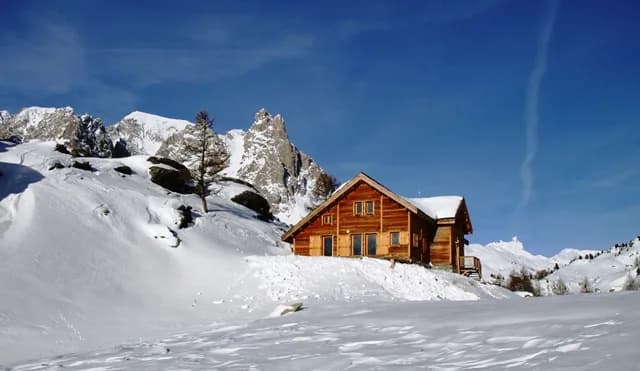
  • From Névache to Refuge Laval along the snow-covered road — photo 2
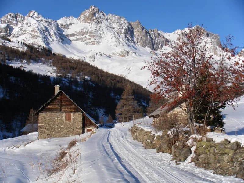
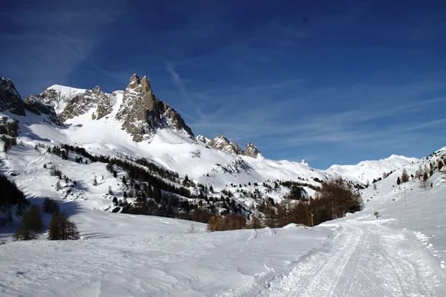
  • From Névache to Refuge Laval along the snow-covered road — photo 3
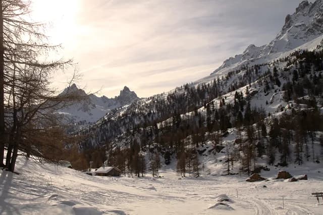
  • From Névache to Refuge Laval along the snow-covered road — photo 4
  • From Névache to Refuge Laval along the snow-covered road — photo 5
  • From Névache to Refuge Laval along the snow-covered road — photo 6
  • From Névache to Refuge Laval along the snow-covered road — photo 7
1 day · 1 nightWinter

From Névache to Refuge Laval along the snow-covered road

How to reach Refuge Laval

A walk through the snow-covered hamlets of the Haute Vallée de la Clarée

Duration
1 day · 1 night
Elevation gain
+430 m
Level
Easy
Season
in winter
Highest point
2,030 m
ClaréeStart : Névache (Ville Haute)Getting to Névache (Ville Haute)

Route map and profile

No track available

No GPS track is available for this route.

Refuges along the way

  • Refuge des Drayères
  • Refuge Laval

The route, day by day

1 day of walking

Every evening, a refuge: its page gives its places, its rates and how to book it.

  1. D1
    Day 1

    Ascent to Refuge Laval

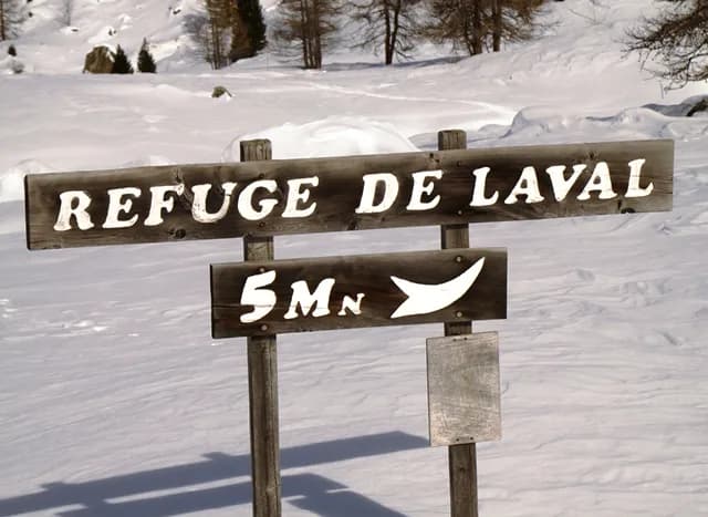
    From the car park in Névache, Ville Haute, follow the snow-covered road to the hamlet of Laval (2,030 m), which is prepared and regularly maintained for cross-country skiing, passing through all the hamlets that make up the Haute Vallée de la Clarée, to reach Laval. The refuge is clearly signposted, just 2 minutes further along the road.

    Night 1 · tonight's refuge

    Refuge des DrayèresWith the refuge

    See the refuge page

Other routes in the same category

See the whole category