Skip to content
Compagnie des Refuges Clarée Thabor
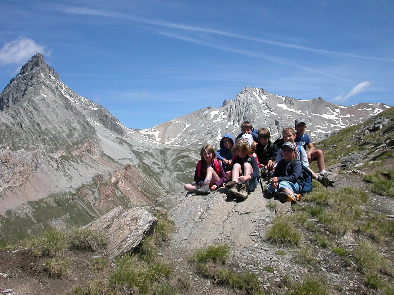
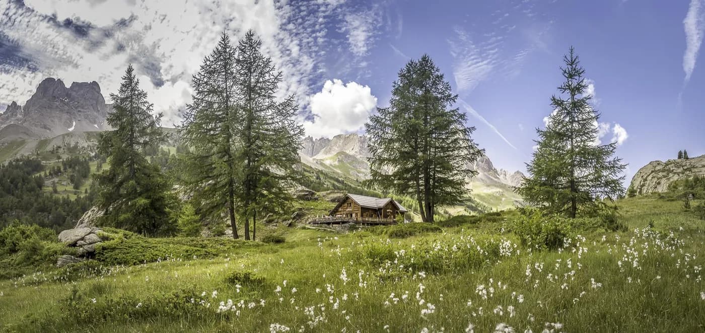
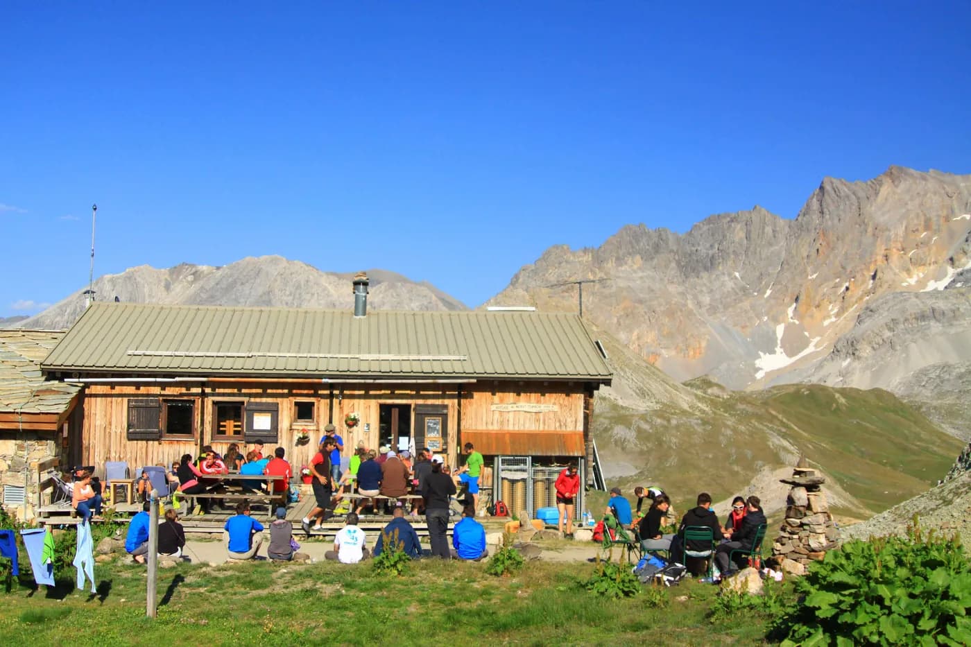
The Grand Tour du Thabor starting from Oulx (Italy) — photo 1
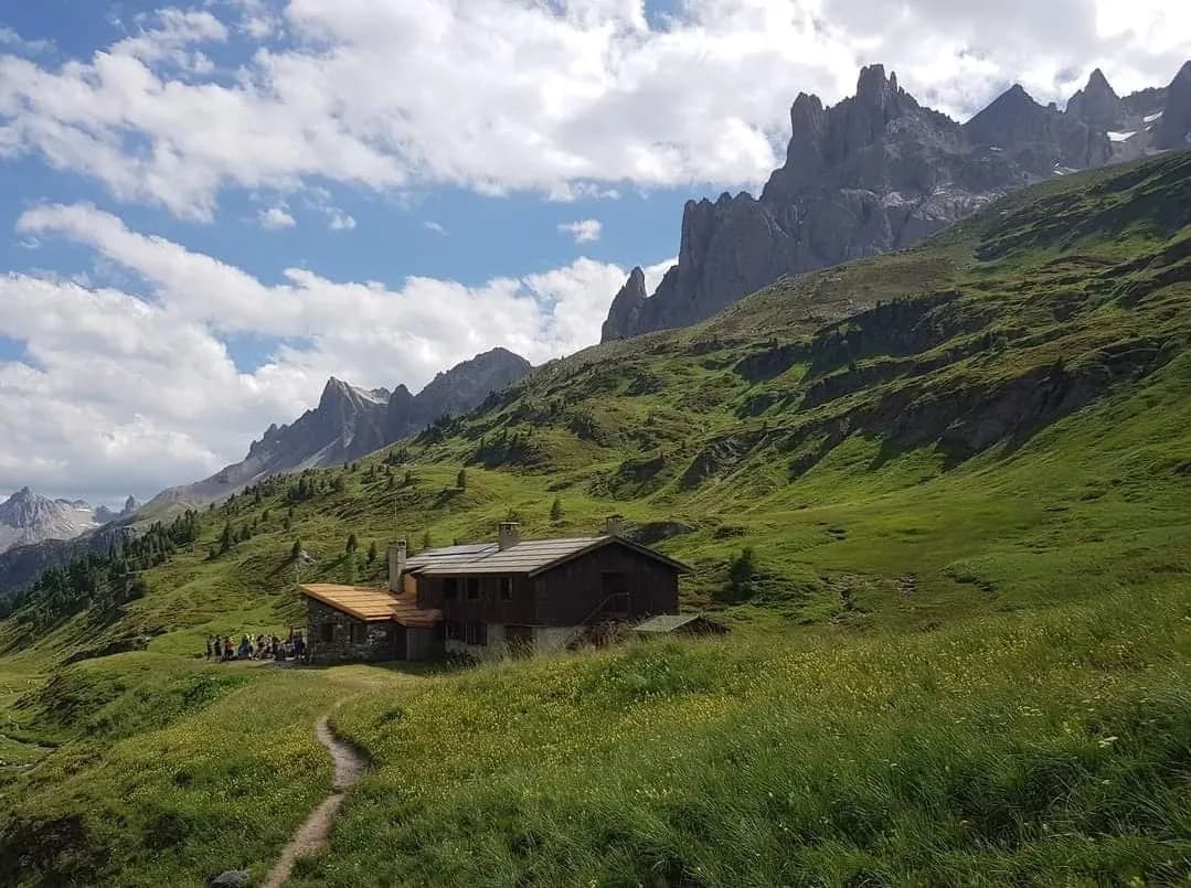
  • The Grand Tour du Thabor starting from Oulx (Italy) — photo 2
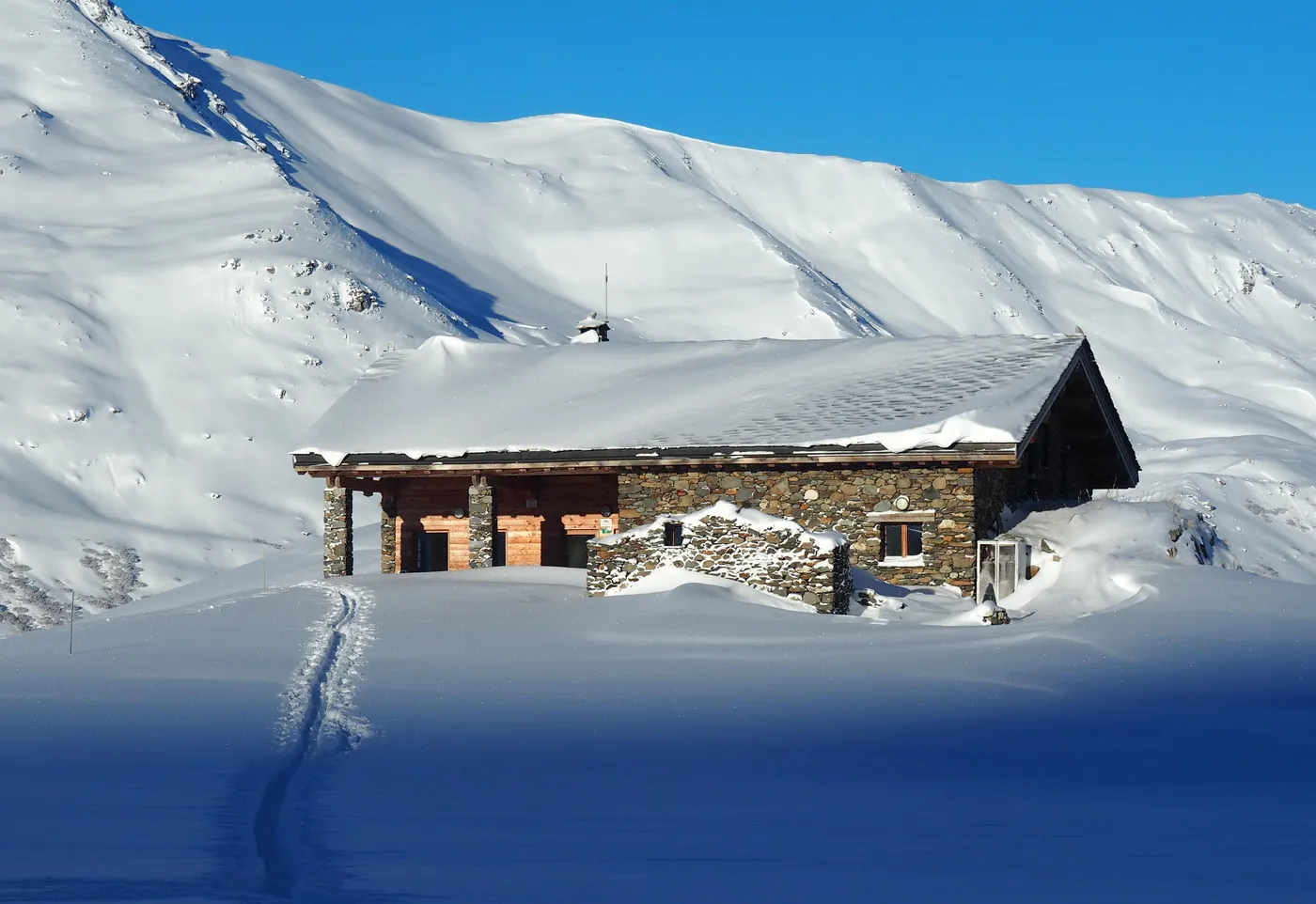
  • The Grand Tour du Thabor starting from Oulx (Italy) — photo 3
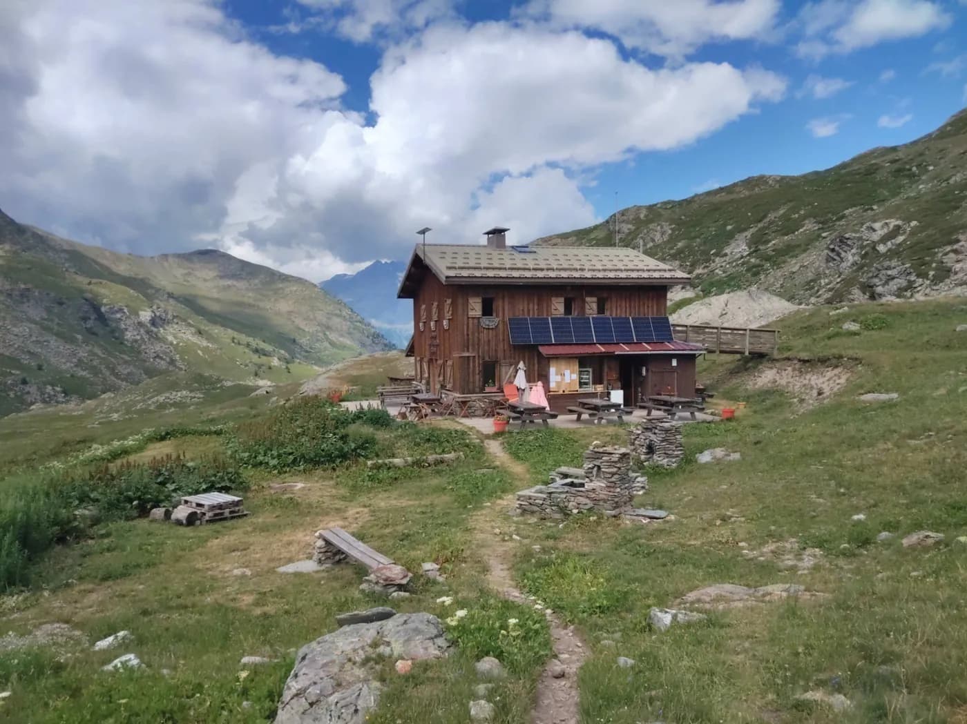
  • The Grand Tour du Thabor starting from Oulx (Italy) — photo 4
  • The Grand Tour du Thabor starting from Oulx (Italy) — photo 5
  • The Grand Tour du Thabor starting from Oulx (Italy) — photo 6
  • The Grand Tour du Thabor starting from Oulx (Italy) — photo 7
  • The Grand Tour du Thabor starting from Oulx (Italy) — photo 8
  • The Grand Tour du Thabor starting from Oulx (Italy) — photo 9
  • The Grand Tour du Thabor starting from Oulx (Italy) — photo 10
  • The Grand Tour du Thabor starting from Oulx (Italy) — photo 11
  • The Grand Tour du Thabor starting from Oulx (Italy) — photo 12
  • The Grand Tour du Thabor starting from Oulx (Italy) — photo 13
  • The Grand Tour du Thabor starting from Oulx (Italy) — photo 14
  • The Grand Tour du Thabor starting from Oulx (Italy) — photo 15
  • The Grand Tour du Thabor starting from Oulx (Italy) — photo 16
  • The Grand Tour du Thabor starting from Oulx (Italy) — photo 17
  • The Grand Tour du Thabor starting from Oulx (Italy) — photo 18
  • The Grand Tour du Thabor starting from Oulx (Italy) — photo 19
  • The Grand Tour du Thabor starting from Oulx (Italy) — photo 20
  • The Grand Tour du Thabor starting from Oulx (Italy) — photo 21
  • The Grand Tour du Thabor starting from Oulx (Italy) — photo 22
Not yet bookable online17 days · 16 nightsSummer

The Grand Tour du Thabor starting from Oulx (Italy)

Discovering everything the “Pays du Thabor” has to offer...

Duration
17 days · 16 nights
Level
Difficult
Season
in summer
Highest point
2,502 m
Susa ValleyStart and finish in Oulx (Italy)Getting to Oulx (Italy)

Route map and profile

Whole tour: 16 nights in refuges

Partial track: some stages have no GPS track.

No elevation profile

The elevation profile is only computed for routes with a complete track.

Refuges along the way

  • La Chardousë
  • Refuge Guido Rey
  • Refuge I Re Magi
  • Refuge Terzo Alpini
  • Refuge Buffère
  • Refuge du Chardonnet
  • Refuge de Ricou
  • Refuge Laval
  • Refuge des Drayères
  • Refuge Terre Rouge
  • Refuge des Marches
  • Refuge du Thabor
  • Refuge Scarfiotti - Crosetto
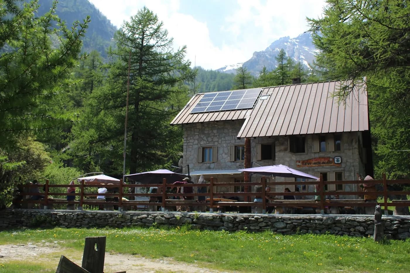
  • Refuge Levi-Molinari
  • Refuge Arlaud

The route, day by day

17 days of walking

Nights in refuges bookable online can also be booked one at a time, from their page; the others, with the refuge.

  1. D1
    Day 1

    From Oulx to Refuge La Chardousë

    +550 m · 1100 m → 1650 m

    From the railway station, head towards the village centre. Just before the bridge over the Dora Riparia, turn right onto the small incline (route de Cotolivier) which takes you to the start of the path leading to Pierremenaud/Vazon (1,650 m).

    Night 1 · tonight's refuge

    La ChardousëWith the refuge

    See the refuge page

  2. D2
    Day 2

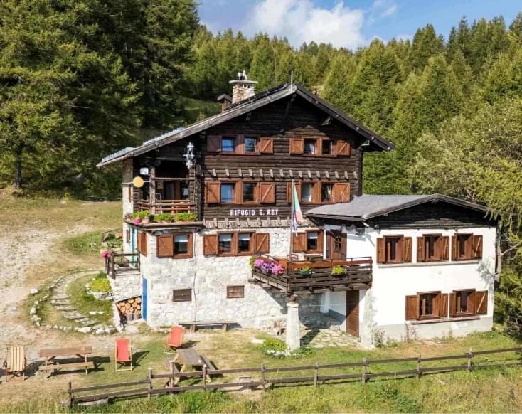
    Refuge La Chardousë to Refuge du Guido Rey

    4 h 30 · +1,000 m · −700 m · 1650 m → 1761 m

    From Vazon (1,650 m), follow the signs for Lozet (1,745 m) to Grange Millaures (1,712 m). Continue through Combe de Desertes until Plan de la Selle (1,954 m) (the ruins of an old military building). Turn right towards Crête Cotolivier (north-east), following the mule track that leads to Case Pourachet (2,027 m) and shortly after, Colletto Pourachet (2,052 m) along the ridge that separates Combe de Desertes and the Beaulard slope. Continue along the ridge path as far as Madonna du Cotolivier (2,105 m), where a splendid view awaits. Retrace your steps back to Colletto Pourachet and descend the path for Château Beaulard to Rio Supire at 1,614 m. Head west along Sentiero Balcone (signposted) to Refuge Guido Rey (1,761 m).

    Night 2 · tonight's refuge

    Refuge Guido ReyWith the refuge

    See the refuge page

  3. D3
    Day 3

    Refuge Guido Rey to the refuges of La Vallée Etroite

    6 h 30 · +990 m · −971 m · 1761 m → 1770 m

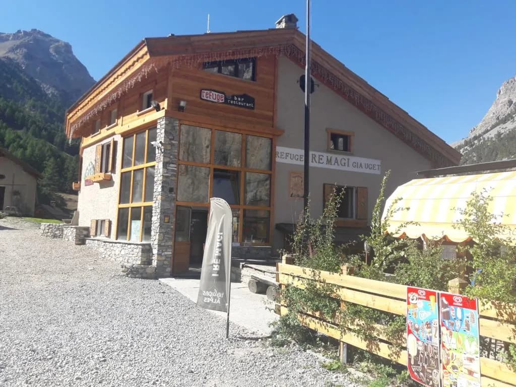
    From Refuge Guido Rey (1,761 m), follow the path for San Giusto – Madonna della Sanità – Passo della Mulattiera 2,412 m – Col des Acles 2,217 m. Then head down to Pian del Colle/Melezet (1,441 m). From the Pian del Colle campsite (1,445 m), take the main road to the left and the footpath for Vallée Etroite. This path takes you along the left bank of the stream running through Vallée Etroite. At the bottom of the "Paroi des Militaires" plateau, at La Bergerie (1,711 m), cross the stream and continue along the path until you reach Granges de la Vallée Etroite and its two refuges (I Re Magi and Terzo Alpini).

    Night 3 · tonight's refuge

    Refuge I Re MagiWith the refuge

    See the refuge page

    Refuge Terzo AlpiniWith the refuge

    See the refuge page

  4. D4
    Day 4

    The refuges of La Vallée Etroite to Refuge Buffère

    5 h 30 · +900 m · −600 m · 1770 m → 2076 m

    From Granges de la Vallée Etroite, follow a splendid and easy path to Col des Thures (2,194 m), then head down to Névache via the gently sloping grassy valley from the top and then along the well-trodden winding path alongside the Clarée (cheminées de fée). You’ll then reach Roubion. Next, head up the Clarée valley to Névache (there is a free shuttle service from Roubion to Névache which runs from mid-July to mid-August). From Névache, cross the Clarée to join the le GR®57 on the right bank, and follow the path until you reach Pont du Rately. A little further on, turn right onto the path that continues towards Fontcouverte and climb towards Refuge Buffère (1 hr 30, an easy route).

    Alternative route 1: From Vallée Etroite, walk up to La Fonderie (foundry). Turn left just before the Maison du Chamois on a path that is steep at first and takes you around the Tête du Chien to reach Col du Vallon (2,645 m) following a good path. Come down the long yet little valley of Vallon towards Névache (Ville Haute). This is a relatively easy route. Alternative route 2: From Névache, turn left shortly after Pont de l'Outre and walk up to Lac de Cristol. Come back to the start of the valley, then follow the Côte Rouge path halfway up the north face of l’Echaillon to reach Refuge Buffère.

    Night 4 · tonight's refuge

    Refuge BuffèreBookable online

    Bookable online, one night at a time, from its page. See its places

    See the refuge page

  5. D5
    Day 5

    Refuge Buffère to Refuge du Chardonnet

    4 h 30 · +400 m · −250 m · 2076 m → 2227 m

    From Refuge Buffère (2,076 m), follow the path down towards La Souchère. On reaching the bottom of the valley, stay on the good path which runs along the right bank. 500 metres further on, look out for a track that climbs to the left towards Refuge du Chardonnet (signposted). This joins the path leading up from Fontcouverte to the chalets of Laraux. Follow the path through ravines to Refuge du Chardonnet (2,227 m).

    Alternative route: From Refuge Buffère, walk up Col de Buffère and follow a little-marked path to the right that joins Vallon de la Moulette without dropping down onto the Chemin du Roy. Head up Vallon de la Moulette to Col de Rochenoire at 2,693 m (3 hrs, with some steep sections). Then walk down to Refuge du Chardonnet (45 mins).

    Night 5 · tonight's refuge

    Refuge du ChardonnetWith the refuge

    See the refuge page

  6. D6
    Day 6

    Refuge du Chardonnet to Refuge Ricou

    2 h · +250 m · −180 m · 2227 m → 2115 m

    You can make a round trip to the Col du Chardonnet at 2,638 m (+400 m, 3 hrs), before returning to Refuge de Ricou. Cross the flat area to the west of the refuge to join the path leading down to Fontcouverte via the chalets in Queyrellin. Pass by La Fruitière restaurant (meals and refreshments) and cross the Clarée. The track leading up to Ricou turns left 20 metres after the bridge. Refuge Ricou (2,115 m) is an easy 45-minute walk.

    Two fairly long and sometimes rather steep routes lead directly to Laval or Refuge des Drayères. Alternative route 1: Make your way up Col du Chardonnet and come down on the other side, facing Cerces. Col du Chardonnet can be reached from Halte de Roche Robert, at Alpe du Lauzet, on the Guisane side. Continue past an old mine (where there are some steep sections) and join a long stretch of flat path heading towards Col de la Ponsonnière. Below Les Béraudes, turn right onto a fairly steep path that takes you across to Lac des Béraudes via some slightly alpine sections. Head down towards the lake, then on to Laval, at the end of the route (4 hours total). From Laval, you can reach Refuge Les Drayères via the track, or Ricou via Chemin de Ronde and Lac de la Cula. Alternatively, there is a wonderful and less demanding but longer route (5 hours) taking you via Col de la Ponsonnière (2,613 m), then Lac des Cerces, Col des Cerces (2,574 m) and back down to Les Drayères along Chemin des Rochilles. Alternative route 2 (off trail): From Refuge du Chardonnet, head up Col du Chardonnet and bear right along the Queyrellin limestone range. You will pass by the Lacs de la Casse Blanche. From here, you can climb directly up a steep grassy slope that leads to a pass on the east ridge of Tête de la Cassille, and then to the mountain summit itself (3,069 m) via the path running along the ridge. Make your way down via the same route or down the steep scree slopes on the north face to Combe du Lac Rouge. From Lac Rouge, it's an easy walk to reach Refuge Laval. From the Lacs de la Casse Blanche, the pass immediately to the left of the Queyrellin can also be reached via a steep grassy slope. Then follow Crête de la Casse Blanche (over rocks and scree) and descend as best you can across rocky terrain that is sometimes unstable to Lac Rouge and Laval (4 hrs).

    Night 6 · tonight's refuge

    Refuge de RicouBookable online

    Bookable online, one night at a time, from its page. See its places

    See the refuge page

  7. D7
    Day 7

    Refuge Ricou to Refuge Laval

    6 h 30 · +1,000 m · −1,000 m · 2115 m → 2010 m

    From Refuge Ricou, climb up to Lac Laramon and Lac Serpent. Then, at the peak of Lac Blanc (2,995 m), drop down to Chemin de Ronde (the trails cross at 2,291 m). Head north along Chemin de Ronde, which boasts magnificent views of the Cerces. You will pass just below Lac de la Cula and then, after a small pass (2,400 m) make your way back down to Laval. You can then reach Refuge Laval (2,010 m) in the hamlet.

    Alternative route: From Refuge Ricou, climb to Lac Laramon and Lac du Serpent (2,448 m) and continue on a good, fairly well-trodden path up Col de Grand Cros (2,848 m) and then to La Gardiole at 2,935 m (2 hrs 30). From here, you can easily reach Pic du Lac Blanc at 2,980 m (30 mins). Splendid views of Lac Blanc await.

    Night 7 · tonight's refuge

  8. D8
    Day 8

    From Refuge Laval to Refuge des Drayères

    6 h 30 · +1,000 m · −1,000 m · 2010 m → 2180 m

    From Refuge Laval, take Pont du Moutet to Lac des Béraudes (2,504 m). Cross Col des Béraudes at 2,800 m (+800 m). Walk down to join the GR®57. Head south-west to Col de la Ponsonnière (2,613 m). Follow the GR®57 to Col des Cerces (2,574 m) and continue to Refuge des Drayères via Lac de la Clarée.

    Night 8 · tonight's refuge

    Refuge des DrayèresWith the refuge

    See the refuge page

  9. D9
    Day 9

    Refuge des Drayères to Refuge de Terre Rouge

    7 h · +660 m · −1,060 m · 2180 m → 2182 m

    Leaving Refuge des Drayères, follow the path around the lakes (Lac Rond and Lac du Gran Ban). The ancient boundary marker separating France from the Kingdom of Piedmont and Sardinia can be seen at the top of the path. Veer right towards Col de la Plagnette. Then follow a fairly long, sloping path that takes you to Pas des Griffes (2,554 m) and enter the Neuvache valley where you can admire the magnificent landscape. The path leads down Neuvache and you can see Refuge de Terre Rouge nestling in the middle of the valley. You then need to head south towards Chalet des Barmettes, and Lac de Curtalès, before crossing the river over a wooden bridge. After the bridge, the path leads you to a beautiful peat bog which you pass on the right to reach the refuge.

    Night 9 · tonight's refuge

    Refuge Terre RougeBookable online

    Bookable online, one night at a time, from its page. See its places

    See the refuge page

  10. D10
    Day 10

    Refuge de Terre Rouge to Refuge des Marches

    4 h 30 · +543 m · −495 m · 2180 m → 2230 m

    From Refuge de Terre Rouge (2,180 m), head north towards Notre-Dame des Neiges, following the path to La Loza, up the small valleys to Lac de Roche Noire and then join the path to Col des Marches (2,725 m). From here, head down to Lac de Bissorte and follow the path to the right towards Refuge des Marches (2,230 m).

    Night 10 · tonight's refuge

    Refuge des MarchesWith the refuge

    See the refuge page

  11. D11
    Day 11

    Refuge des Marches to Refuge du Mont Thabor

    3 h · +620 m · −300 m · 2230 m → 2502 m

    From Refuge des Marches, head north up Vallon de Bissorte until you reach Col des Bataillères at 2,804m (+620 m), via Lac des Bataillères. Then join Refuge du Mont Thabor (-300 m) via Les Lacs Sainte Marguerite.

    Night 11 · tonight's refuge

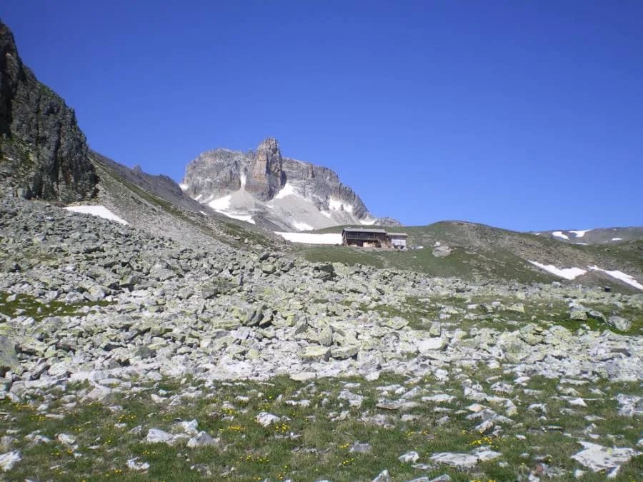
    Refuge du ThaborWith the refuge

    See the refuge page

  12. D12
    Day 12

    Refuge du Mont Thabor to the refuges of La Vallée Etroite

    7 h · 2502 m → 1780 m

    From Refuge du Mont Thabor (2,501 m), head down via Col de la Vallée Etroite. At the pass, take the right-hand path and head up and across to Lac du Peyron (2,440 m). Walk alongside the lake and follow the uphill trail around the rocky outcrop that overlooks the lake. You then reach Col des Méandes (2,720 m) where you can join the "classic Italian route" up to Mont Thabor. From here, follow the path up to the cross at the top of the mountain (3,178 m). Take the same path down as far as Col des Méandes. From the pass, take the path leading down into Vallon du Dîner until you reach the small footbridge at Prat du Plan (with Grand Serrus on the left). Cross over the footbridge and then turn left. Pont de la Fonderie and Granges de la Vallée Étroite are not far.

    Option: You may wish to climb to the summit of Mont Thabor. This is a considerably longer route (+850 m/-1,400 m).

    Night 12 · tonight's refuge

    Refuge I Re MagiWith the refuge

    See the refuge page

    Refuge Terzo AlpiniWith the refuge

    See the refuge page

  13. D13
    Day 13

    From the refuges of La Vallée Etroite to Rochemolles (Chalet della Guida)

    4 h · +348 m · −450 m · 1770 m → 1600 m

    Leave the hamlet and follow the signs for "Bardonecchia" (by the fountain). Continue along the surfaced road and cross the Miglia bridge. Just after the bridge (near the barrier restricting vehicles), turn left towards the river. Cross Pont de Ranfoure and follow the path down, along the left bank. This path runs below the Rois Mages mountain (on the left) and the imposing Paroi des Militaires (on the right). This is the alluvial Plaine de Vourzenet (Saules). From here, the view of the Rois Mages and the Paroi des Militaires is breathtaking. Continue along the path past the Pian del Colle campsites. At the junction with the main road, turn left and continue for 200 metres until you reach the start of the Via Ferrata at La Rouas. Cross the main road and follow it up to the Mélezet ski lift car park. After the car park, cross the bridge and continue along the road for 100 metres. Then, turn left and follow the signs for Sentiero Paradiso, a scenic overlook that leads to Borgo Vecchio. Follow the “Via Medail” signs. As you head down this road, you’ll find the majority of Bardonecchia’s shops (1,315 m). At the end of the road, cross the pedestrian crossing under the railway line. As you come out, go straight on until you reach the main road to Turin. Cross over the road, and turn left at the pedestrian crossing that leads up to the Millaures route. Follow this path, which passes under a road and then under the motorway. At the first house, turn left onto the path leading up to Prérichard. Go into the village and turn left at the fountain. Follow the path to a junction where you have to turn left. Next, turn right onto the trail and continue (at the river, do not go up to the left, but cross over and continue along the flat section) until you reach the Saint-André church (well worth a visit). Pass by the cemetery and a small playground, then follow the path that leads up to the left. At the first crossroads, turn left to reach Granges Medau (Medail), then left again for Granges Garnier. At the bend in the road, take the bridge and follow the path straight ahead (not off to the right or left) that at first climbs gently and then flattens out, eventually leading you down to the car park looking onto Rochemolles.

    Night 13 · tonight's refuge

    Chalet della guidaAccommodation outside the network

  14. D14
    Day 14

    Refuge Chalet della Guida to Refuge Scarfiotti

    5 h 45 · +1,017 m · −512 m · 1630 m → 2165 m

    Cross the bridge leading to the car park and take the path that climbs to the left. At the first crossroads, follow the path straight ahead (east). After a few bends, at a sharp turn to the right, go straight ahead (east) towards Granges de Mouchecuite. Cross the Valfredda stream at Pont de l’Etan. Take the path to the left of Chapelle de Notre-Dame des Neiges (1,863 m), then turn right onto the Sentier de la Gentiane and follow the mule track (1,927 m). You'll spot the old Decauville railway line that was used to construct the Rochemolles dam. Follow the flat trail along the Col du Sommeiller route and Rio Almiane, passing through a tunnel to reach the base of the dam. Turn right onto the route leading to the refuge hosts’ house until you come to the route leading to the pass. Cross it and follow it for a few dozen metres to climb the mule track to the left (north/north-east) of Grange Almiane (2,129 m). At Grange, turn right and take the path (south/south-east) that runs above Grange Selle (2,225 m), following the valley to reach Col Almiane (2,677 m). Head down the north-facing scree slope to join the road at Pian dei Morti (approx. 2,470 m). Continue along the route until you reach the top of the first bend in the track leading down (along the left bank of Rio Fond) and follow its winding course up to the last bend. Continue down for fifty metres, taking the path on the right (downstream) on the north-west side towards Rio Balma. Cross over and turn right (north-east) towards Cascade du Fond, along the mule track that leads to Refuge Scarfiotti.

    To join the Decauville track, at the beginning of the route for Grange La Croix and Valfredda, from Rochemolles, there are three options: 1) Head west through Rochemolles and, at the last houses, take the mule track on the right which, after crossing the stream, leads to the Sommeiller road not far from Chapelle San Rocco (10 mins). Follow the mule track around the chapel and up to Granges Mouchecuite, crossing over the road three times. Once you reach Granges, walk through the village to get to Chapelle Madonna della Neve. Immediately take the mule track southwards, to join the Decauville trail which is just opposite the junction with the road to Valfredda (1hr 10). 2) From the main route, at the second junction (1,775 m), leave the mule track and take the path heading east. Cross Pont de l’Etan over the Valfredda stream and join the alternative path (option 1) at Chapelle Madonna della Neve and, from there, the Decauville track (1hr 15). 3) From the main route, at the intersection with Sentier du Gran Bea (1,885 m), leave the mule track and head east along this path. Follow this path until you come to a crossroads that takes you to the Decauville track on the left, just before Pont de Valfredda, and then to Pont de l’Etan on the right, with a gentle downhill slope (1hr 20).

    Night 14 · tonight's refuge

    Refuge Scarfiotti - CrosettoWith the refuge

    See the refuge page

  15. D15
    Day 15

    Refuge Scarfiotti to Refuge Levi-Molinari

    7 h · +839 m · −1,154 m · 2165 m → 1850 m

    Follow the path towards Cascade du Fond and up the valley of the Rio Balma to a large rock where the path crosses the river and reaches the Col du Sommeiller road. About fifty metres before the first bend in the road, follow the path straight ahead towards Rio du Fond. The path veers to the right (south-east) and runs alongside all the bends in the road up to the bridge crossing over Rio du Fond. After the bridge, turn right (south-east) and head up Vallon du Fond, alongside the stream through the pastures. Follow the path to Pian dei Frati and rejoin the road. From a sharp bend at around 2,540 m on the right (east/south-east), the path leads to Pas de Fourneaux Nord (3,137 m). From Pas de Fourneaux, a short detour will take you to Pointe du Sommeiller (3,332 m) (1 hr 20). From the summit, you can enjoy a panoramic view of the entire western Alps. (Highly recommended). From Pas de Fourneaux Nord, head south towards Lac Galambra. Above the lake, the path turns off to the left (east), passing below the abandoned barracks. Make you way over to the Sigot bivouac (3,020 m) to reach a plateau (3,004 m), where the descent to Lac de Monache (2,567 m) can be found on your left (north-east). Look out for the fork in Sentier 2000, and turn off to the right (south-east). Continue south-east from the lake (keeping to the left at the two junctions where the path leads to Mont Chabrière) to reach Refuge Levi-Molinari (1,850 m).

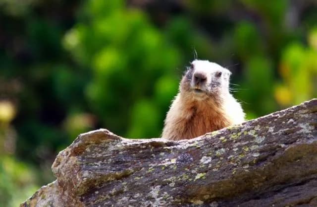
    At the start of the season, ice axes and crampons may be useful. A route of outstanding beauty in a high mountain setting, with breathtaking views of sheer rock faces, lakes and glaciers. The Massif de la Rognosa d'Etache is home to ibex, chamois, eagles, marmots, bearded vultures, capercaillie, partridges, badgers and foxes.

    Night 15 · tonight's refuge

    Refuge Levi-MolinariWith the refuge

    See the refuge page

  16. D16
    Day 16

    Refuge Levi-Molinari to Refuge Arlaud

    6 h · +960 m · −980 m · 1850 m → 1764 m

    Starting from Refuge Levi-Molinari (1,850 m), make your way down to the bridge below. From the car park, follow the path off to the left (Fenils-Salbertrand) towards Grange Soullier. Continue towards Salbertrand until Borgo Combes, 1,240 m – Deveys. Cross the main road (Strada Statale) and continue along a path that dips down onto a minor road leading to the Champbons village bridge on the River Doire (886 m). At the village fountain, take the path up through the forest to the Chenal stream (990 m). Continue across it, then turn left onto the trail that leads directly to Case Sapé (1,188 m). Keep on the route through the forest that leads to Salbertrand. After the "Casa del Parco" (road sign), follow the "Sentiero dei Franchi" (S.F.) to where the trails cross (1,054 m) and then head up to Refuge Arlaud in Montagne Seu (1,764 m).

    Night 16 · tonight's refuge

    Refuge ArlaudWith the refuge

    See the refuge page

  17. D17
    Day 17

    From Refuge Arlaud to Oulx

    5 h 30 · +750 m · −850 m · 1764 m → 1650 m

    From Refuge Arlaud, follow the forest route to Monfol. At the end, near to a sharp bend in the road, take the path that leads straight down to Monfol (1,662 m). Turn right after the houses onto the path that leads down to the village of Gad. Continue along this path until you reach an altitude of 1,000 m, crossing over Rio Gran Comba on a small wooden bridge. Cross horizontally and follow the Collet-Cotantin path to Oulx (signposted) until it starts to go down to the right towards the main road (strada statale). Just after the "Le Baite" supermarket, leave the road and take the path that runs along a flat section. After a short climb, continue until you come to a large ENEL electricity pylon. There is a short descent to reach the Via Roma at the start of the village of Oulx (1,100 m).

    Arrival in Oulx (Italy) · end of the tour

    No night to book that evening.

Other routes in the same category

See the whole category